
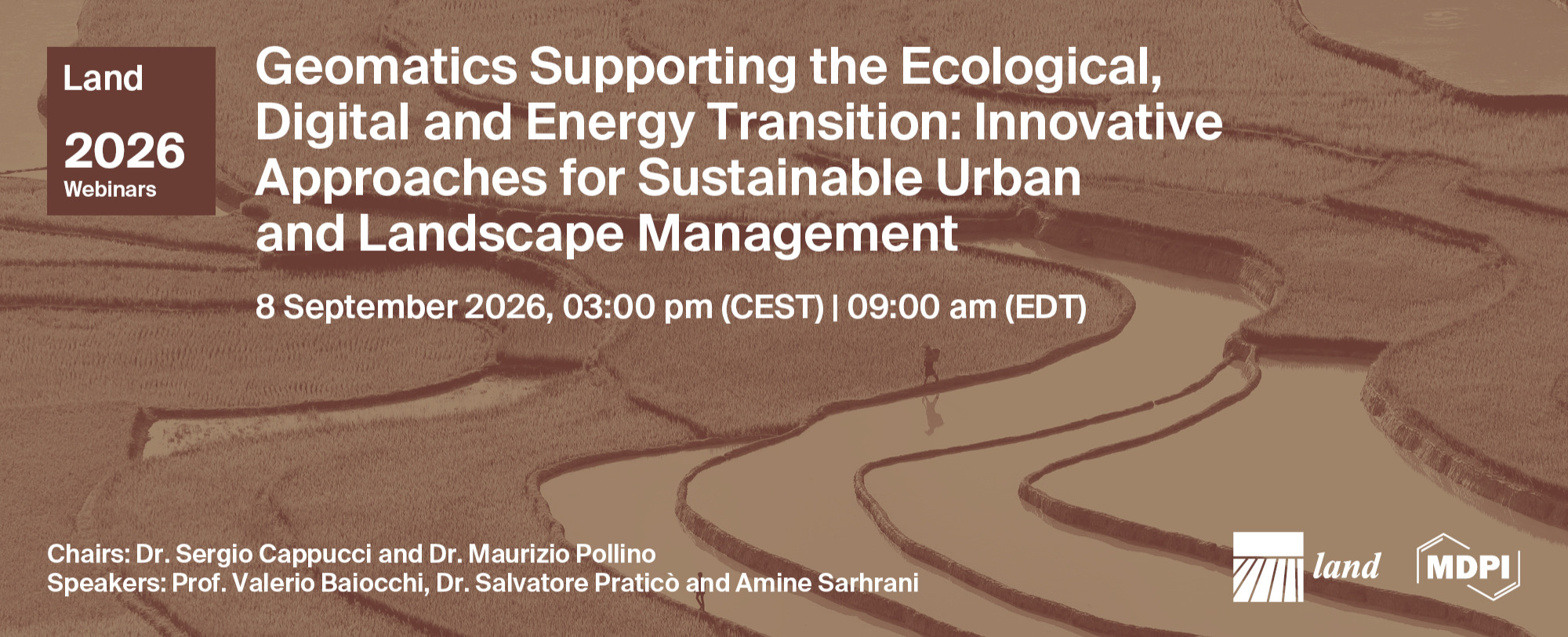
Land Webinar | Geomatics Supporting the Ecological, Digital and Energy Transition: Innovative Approaches for Sustainable Urban and Landscape Management
the chairs
10th Land Webinar
Geomatics Supporting the Ecological, Digital and Energy Transition: Innovative Approaches for Sustainable Urban and Landscape Management
The proposed webinar will serve as the flagship dissemination event for the Special Issue.
It will gather leading researchers working on geomatics, Earth Observation, GIS, UAVs, remote sensing, digital twins, artificial intelligence and spatial modelling to discuss how these technologies support sustainable urban and landscape management.
The ecological, digital and energy transitions require spatially explicit information, integrated environmental assessment and evidence-based decision support. Geomatics has become a cornerstone of climate adaptation, ecosystem restoration, biodiversity conservation, circular economy, risk reduction, resilient infrastructures and sustainable land governance. Advanced Earth Observation programs, Copernicus services, high-resolution satellite imagery, UAV surveys, GIS analytics, machine learning and digital twins are transforming the ability of scientists and decision-makers to monitor environmental change and evaluate management scenarios.
Date: 8 September 2026
Time: 3:00 pm (CEST) | 9:00 am (EDT)
Webinar ID: 889 2488 9261
Webinar Secretariat: journal.webinar@mdpi.com
Meet Our Chairs
ENEA, Italy;Dr. Sergio Cappucci obtained his Laurea degree from Sapienza University of Rome in 1993 with a thesis on pipeline design on the Sable Island Bank (Canada). He earned his Ph.D. from University of Southampton in 2002 with research focused on the Venice Lagoon. He subsequently completed three postgraduate Master’s degrees in Waste Management (MSc, 2019), Environmental Legislation (MLaw, 2021), and Sustainable Energy (MEng, 2025). Dr. Cappucci is the author of numerous scientific publications (H-index: 13) and two patents, and he has participated in and coordinated several national and international research projects. His research activities focus on the Anthropocene, sustainable development, and the management of natural resources in coastal environments. He is currently a Senior Scientist at ENEA and previously served as an expert for the Italian Ministry of the Environment (2004–2008). Since 2003, he has also held teaching appointments as Temporary Professor at the Universities of Sassari, Rome, Pisa, and other academic institutions.
ENEA, Italy;Dr. Maurizio Pollino is the Head of the ENEA Critical Infrastructures Laboratory. Civil Engineer. PhD in Agroforestry and Environmental Engineering. From 2000, Researcher at ENEA: main interests in Geomatics, risk analysis, design and development of GIS-based Decision Support Systems. Adjunct Professor of "Remote sensing and GIS simulations for territorial planning", University of Rome "Sapienza". ECDL GIS Certified Examiner. Reviewer for many international Journals. Member of the Reviewer Board of the Remote Sensing Journal. Member of the Topical Advisory Panel of the ISPRS International Journal of Geo-Information. Member of the Editorial Board of the Infrastructures Journal. Member of the Programme Committee International Conferences: ICCSA (2011-2026), CRITIS (2024), ECRS (2026), IOCGM (2027) . Organiser and Co-Chair of many international Workshops in the field of Geomatics and Critical Infrastructures. Author of more than 130 scientific papers, H-index 17 on Scopus, and 20 on Google scholar.
This is a FREE webinar. After registering, you will receive a confirmation email containing information on how to join the webinar. Registrations with academic institutional email addresses will be prioritized.
Certificates of attendance will be delivered to those who attend the live webinar.
Can’t attend? Register anyway and we’ll let you know when the recording is available to watch.
Meet Our Speakers
Sapienza Università di Roma, Italy;Valerio Baiocchi received his High school diploma at the age of 17 (the usual age in Italy is 19) at the Scientific High school “C.Cavour” of Rome, the oldest scientific High school of Italy. He is Geologist and Engineer, both full Graduation at “Sapienza” University of Rome, one of the oldest university of Europe, with top marks. He obtained a Ph.D. in Geodesy and survey, at 'Parthenope' University, Napoli, Italy (1996-1999), a Master in Environmental sciences (Scuola di specializzazione), at Urbino University, Italy (1995-1997), and a second Ph.D. in Infrastructures and transports, at 'Sapienza' University of Rome (2006-2009). Author of more than 260 scientific papers, H-index 19 on Scopus, and 20 on Google scholar.
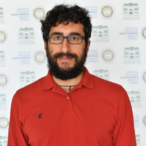
Mediterranea University of Reggio Calabria, Italy;Salvatore Pratico il graduated in Forestry and Environmental Sciences. University researcher in the field of rural construction and agroforestry. Specialised in geographic information systems, planning, cartography and landscape analysis. He carries out environmental education and interpretation activities for schools, as well as day and multi-day treks.
Mr. Amine Sarhrani
Ibn Tofail University, Morocco;PhD student in Coastal Sciences and Applied Geomatics, with research interests focused on coastal dune vulnerability, climate change impacts, coastal erosion, and ecosystem services. Experienced in GIS, remote sensing, spatial modeling, and geospatial analysis tools for assessing coastal dynamics and environmental vulnerability.
Edited by Maurizio Pollin, Sergio Cappucci and Emiliana Valentini
Deadline for manuscript submissions: 24 October 2026

-6a7acfa50a570.png)