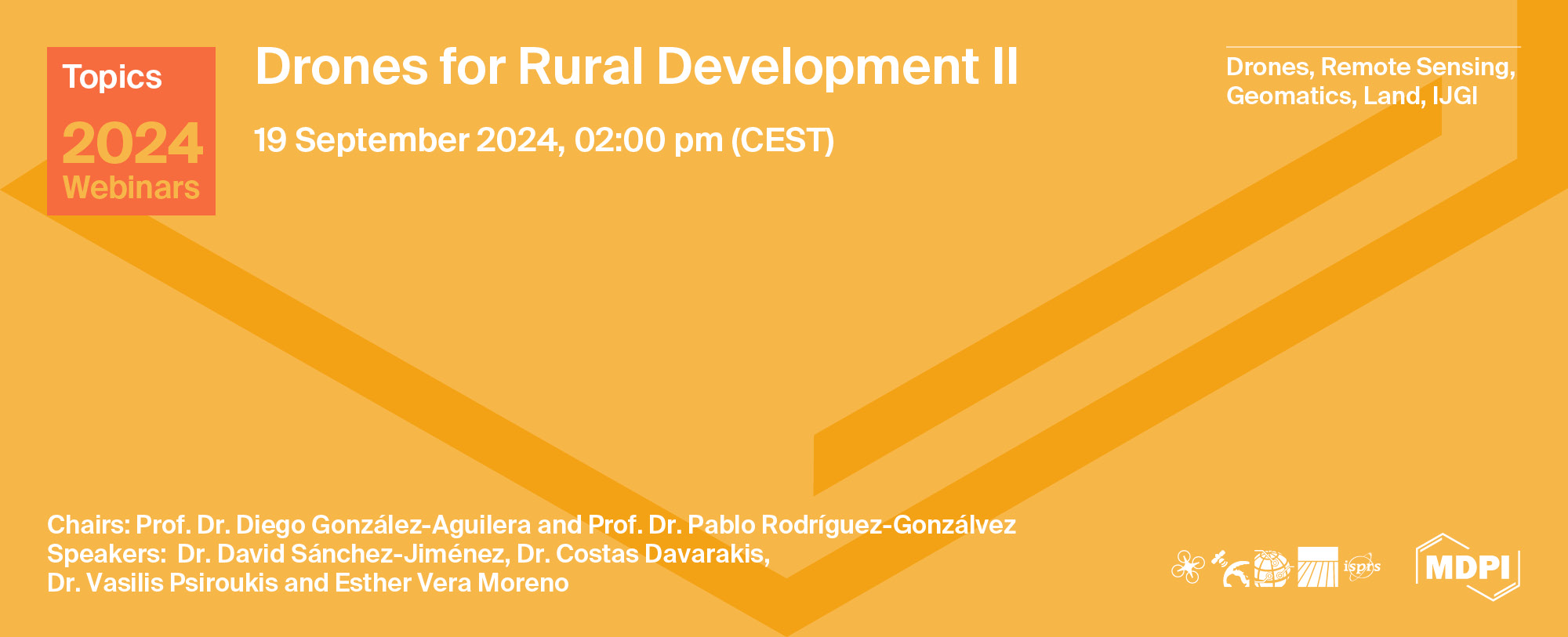
Topics Webinar | Drones for Rural Development II
the chairs
The utilization of drones is experiencing global growth, with the notable emergence of fresh applications and uses continually occurring. In remote, rural regions, drones have the potential to perform a wide range of tasks, including surveillance via cameras or other sensors, acting as mobile gateways to provide connectivity or facilitating the transportation of goods to challenging, remote locations. While many of these applications are closely associated with primary sector activities like agriculture and livestock, their adaptability extends to various other industries and urban areas.
This webinar will present three referent European projects for developing rural areas, and it will use drones as the main thread. The scope of drone utilization in rural regions is extensive, spanning across sectors like agriculture, forestry, livestock, other industrial domains, environmental monitoring, and the assessment of water quality in rivers and lakes. Drones also play a vital role in firefighting efforts and providing assistance to the population, particularly elderly individuals.
We are privileged to have recognized industry and academic experts who will share their experiences and insights on how to effectively leverage these technologies to achieve better results and improve drone productivity in different applications. So, whether you are a researcher, applied scientist, commercial drone user, or simply interested in the latest trends in drones, we invite you to join us for this webinar.
Date: 19 September 2024 at 02.00 p.m. CEST | 8:00 a.m. EDT | 8:00 p.m. CST Asia
Webinar ID: 892 0367 9034
Webinar Secretariat: journal.webinar@mdpi.com
Meet the Event Chairs


Meet Our Speakers

Dr. David Sánchez-Jiménez
Departamento de Ingeniería Cartográfica y del Terreno, Universidad de Salamanca, Spain;
Dr. David Sánchez-Jiménez is a researcher and coordinator of the geospatial section in the TIDOP group at University of Salamanca, Spain. His doctoral thesis, titled “SfM-3DULC: Development and validation of a photogrammetric procedure for the scanning, measurement, tissue classification and clinical follow-up of skin wounds”, was funded by the European Social Fund of the Generalitat Valenciana. He has experience in European and national geospatial projects. His main research interests include medical applications of photogrammetry, computer vision and object detection, and the authentication of paintings using ultrasonic and structured light techniques.

Dr. Costas T. Davarakis
Nydor System Technologies AE, Athens, Greece;
Dr. Costas T. Davarakis is the Managing Director of NST AE and is leading the Livestock Pilot for Project SPADE (HE-101060778). Before SPADE, he had successfully coordinated project H2020-786993 SPIRIT (www.spirit-tools.com). Dr. Costas T. Davarakis is based in Athens, Greece, and since 1986, he has been acting on behalf of different research organizations/departments in the public and private sectors. He has participated in EU Research and Innovation activities since 1986, involved in every EU Research Framework since, i.e., Esprit I, II, III, FPIV, V, FP6,7, H2020, and now HE, and served as the project coordinator of seven EU projects (Ephaestus, Electron, Lab@Future, MoveOn, Playmancer, Mobiserv, and Spirit). For SPADE, he has recently presented/co-authored, with other SPADE Livestock technology partners, the SPADE Livestock platform and edge-computing tools in European Workshops in Frascati, Italy, and Athens, Greece.

Dr. Vasilis Psiroukis
Agricultural University of Athens, Athens, Greece;
Dr. Vasilis Psiroukis is an Agricultural Engineer and a scientific associate at the Agricultural University of Athens. He holds a diploma in Agricultural Engineering and an MSc in Geoinformatics from the National Technical University of Athens. His expertise lies in precision agriculture, spraying applications, and machine learning/image analysis in agriculture. Vasilis has been involved in numerous research projects, including those focusing on UAV data for crop monitoring and yield estimation. He has contributed to the development of innovative plant protection technologies and sustainable farming practices. He is currently completing his PhD on drone spraying and is leading the Drone Spraying Use Case in the ICAERUS project.

Ms. Esther Vera Moreno
Noumena, Gran Via de les Corts Catalanes 690, Barcelona, Spain;
Ms. Esther Vera Moreno is a Computer Vision and Robotics Engineer who thrives on exploring cutting-edge developments in machine learning, deep learning, and computer vision applied to innovative solutions. Throughout her academic journey, she has had the opportunity to work with several companies, such as Segula Technologies, on a drone navigation project integrated with ROS2 and OpenCV, INNO3 in Alicante and the Stockholm Gastro Center in Stockholm. However, technology has not been her sole focus. In all her projects, she has consistently strived to consider their sustainability aspects and enhance them. To learn more about how she could make a positive impact, she collaborated with VAUA, an environmental volunteering group at the University of Alicante. While working on her Master's thesis, focused on 3D Face Reconstruction with a multicamera system, Esther also sought new challenges to continue improving her skills in computer vision and robotics. Additionally, she works for Noumena and is involved in the ICAERUS project. In this role, she is working on the Drone Data Analytics Library and leading the Crop Monitoring Use Case.
Sponsors and Partners
Organizer


Please find the closing summary by our Chairs, Prof. Dr. Diego González-Aguilera and Prof. Dr. Pablo Rodríguez-Gonzálvez, below.
This webinar continues the ongoing efforts to explore various drone applications in rural areas. First, Dr. David Sánchez-Jiménez demonstrated a geospatial platform that automatically detects large wood debris in rivers, which can pose a flood risk, by using drone-captured orthoimages and intelligent artificial classification. Next, Dr. Costas T. Davarakis discussed the role and benefits of drones in livestock management, highlighting how the formation of drones equipped with edge computing devices can support various field operations in the sector. Finally, Dr. Vasilis Psiroukis introduced autonomous drone spraying systems designed to apply agrochemicals in a way that protects both human health and the environment. Additionally, Ms. Esther Vera Moreno highlighted the role of drones in crop monitoring, including the tracking of growth patterns and detection of diseases on leaves and canopies in agricultural crops.
The webinar was hosted via Zoom and required prior registration to attend. The full recording can be accessed below. In order to learn about future webinars, you can sign up for our newsletter by clicking “Subscribe” at the top of the page.
Aerial and Drone LiDAR Data for Geomorphological Mapping, Landform Extraction and Landscape Evolution
Guest Editors: Dr. Dario Gioia, Dr. Nicodemo Abate, Dr. Giuseppe Corrado, Dr. Antonio Minervino Amodio and Prof. Marcello Schiattarella.
Deadline for manuscript submissions: 15 September 2024
UAV Agricultural Management: Recent Advances and Future Prospects
Guest Editors: Dr. Hamdi Zurqani and Dr. Alessandro Matese
Deadline for manuscript submissions: 25 December 2024
Geographic Information Technologies and the New Challenges of Globalization in a Changing Environment
Guest Editors: Prof. Dr. Ana Nieto Masot, Prof. Dr. Gema Cárdenas and Dr. José A. Gutiérrez Gallego
Deadline for manuscript submissions: 20 December 2024
Spatial Information for Improved Living Spaces
Guest Editors: Dr. Ivana Ivánová, Dr. Yongze Song and Prof. Dr. Sisi Zlatanova
Deadline for manuscript submissions: 25 October 2025
"Small Unmanned Aircraft Systems and Agro-Terrestrial Surveys Comparison for Generating Digital Elevation Surfaces for Irrigation and Precision Grading"
Drones 2023, 7(11), 649; https://doi.org/10.3390/drones7110649
"Recent Advances in Crop Disease Detection Using UAV and Deep Learning Techniques"
Remote Sens. 2023, 15(9), 2450; https://doi.org/10.3390/rs15092450
"Review of Remote Sensing Approaches and Soft Computing for Infrastructure Monitoring"
Geomatics 2023, 3(3), 367-392; https://doi.org/10.3390/geomatics3030021
"Analysis of Landscape Character Assessment and Cultural Ecosystem Services Evaluation Frameworks for Peri-Urban Landscape Planning: A Case Study of Harku Municipality, Estonia"
Land 2023, 12(10), 1825; https://doi.org/10.3390/land12101825
"Assessment of Ecosystem Service Value in Response to LULC Changes Using Geospatial Techniques: A Case Study in the Merbil Wetland of the Brahmaputra Valley, Assam, India"
ISPRS Int. J. Geo-Inf. 2023, 12(4), 165; https://doi.org/10.3390/ijgi12040165