
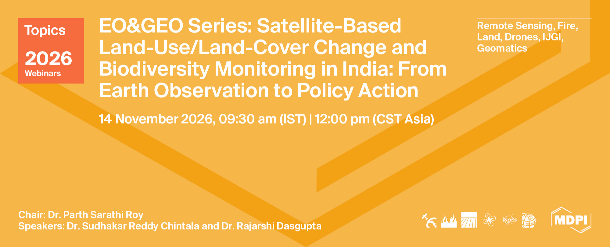
Topics Webinar丨EO&GEO Series: Satellite-Based Land-Use/Land-Cover Change and Biodiversity Monitoring in India: From Earth Observation to Policy Action
the chair
Topics Webinar
EO&GEO Series: Satellite-Based Land-Use/Land-Cover Change and Biodiversity Monitoring in India: From Earth Observation to Policy Action
Asia is experiencing some of the world’s most rapid and complex land-use and land-cover transformations, driven by climate change, urbanisation, agricultural expansion, infrastructure development, and ecosystem degradation. Given the region’s exceptional ecological diversity and the strong dependence of its populations on natural resources, the challenge is no longer merely to generate geospatial information, but to translate it into timely, credible, and policy-relevant action.
This webinar brings together two complementary perspectives: the operational use of satellite-based technologies for monitoring forests and biodiversity, and the application of geospatial evidence to landscape planning, climate adaptation, and environmental policy. The discussion will highlight recent advances, practical applications, and emerging priorities while exploring how Earth observation can more effectively support biodiversity conservation, sustainable land management, and climate-resilient development across Asia.
Date: 14 November 2026
Time: 9:30 am IST (India time)丨12:00 pm CST Asia
Webinar ID: 871 3840 9578
Webinar Secretariat: journal.webinar@mdpi.com
Meet Our Chair
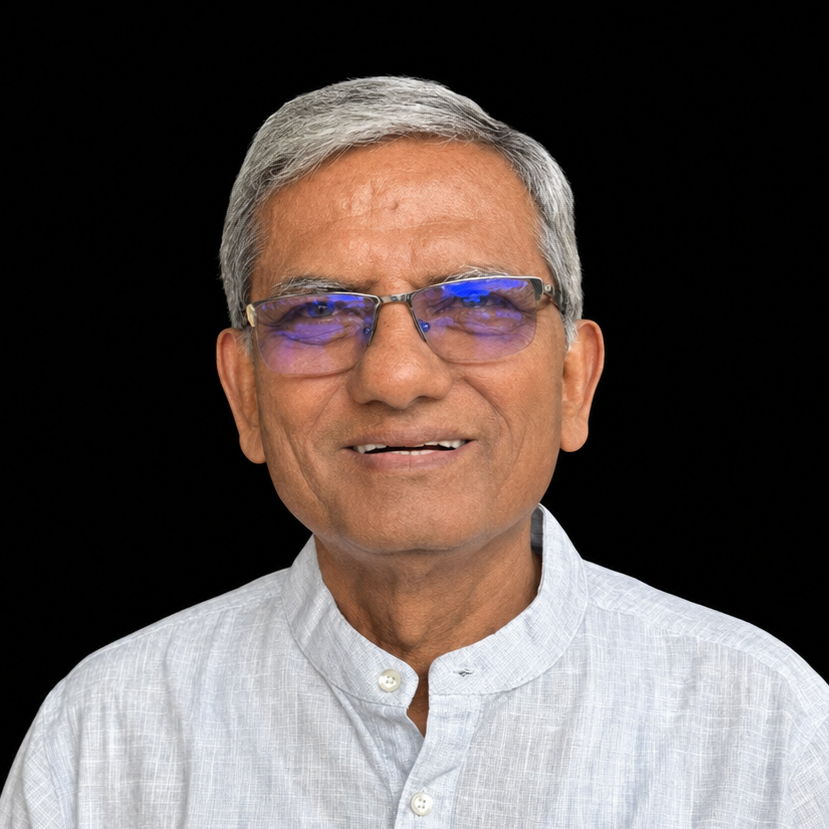
Indian Institute of Remote Sensing, Indian Space Research Organisation (ISRO), Dehradun, India;Dr. P. S. Roy is a senior Earth observation and geospatial scientist with more than four decades of experience in remote sensing, land-use/land-cover mapping, forestry, biodiversity characterisation and landscape ecology. A former Director of the Indian Institute of Remote Sensing, ISRO, he has led major national programmes on forest cover, natural-resources assessment and biodiversity monitoring. His work focuses on translating spatial intelligence into science-based planning, conservation and sustainable land-management policy.
This is a FREE webinar. After registering, you will receive a confirmation email containing information on how to join the webinar. Registrations with academic institutional email addresses will be prioritized.
Certificates of attendance will be delivered to those who attend the live webinar.
Can’t attend? Register anyway and we’ll let you know when the recording is available to watch.
Register here for free!
Meet Our Speakers
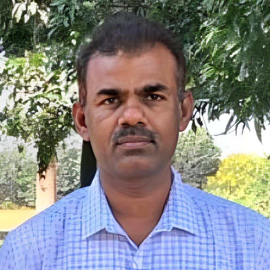
Forest Biodiversity and Ecology Division, National Remote Sensing Centre, Indian Space Research Organisation (ISRO), Hyderabad, India;Dr. Sudhakar Reddy Chintala is Scientist-SG and Head of the Forest Biodiversity and Ecology Division at the National Remote Sensing Centre, ISRO. He has made significant contributions to remote-sensing applications in forestry and biodiversity assessment and has published approximately 300 peer-reviewed research papers. His expertise provides a strong national and operational perspective on satellite-based vegetation, forest and biodiversity monitoring.
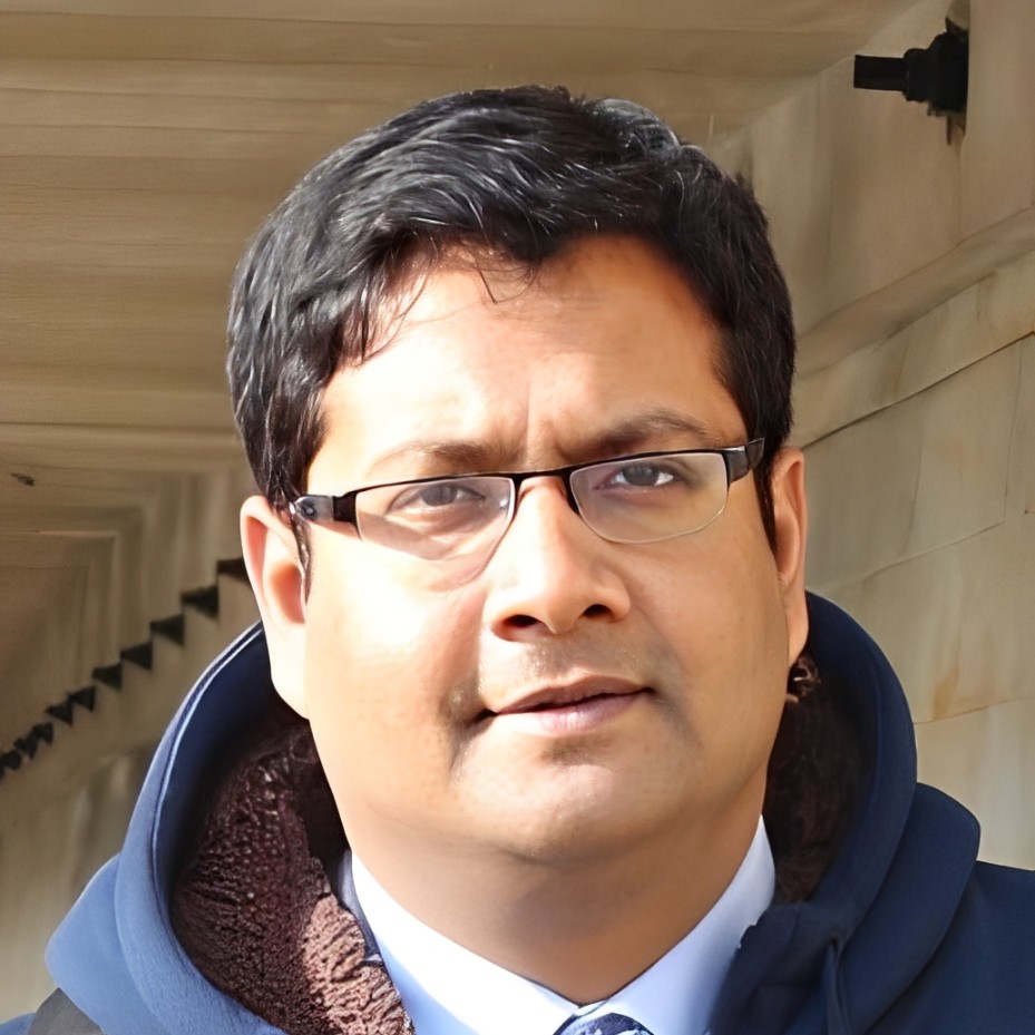
Dr. Rajarshi Dasgupta
School of Public Policy, Indian Institute of Technology Delhi, New Delhi, India;Dr. Rajarshi Dasgupta works at the interface of geospatial science, landscape ecology and environmental policy. His research addresses risk-sensitive land-use planning, land-based climate mitigation and adaptation, forest management, biodiversity conservation and disaster-risk reduction across South and Southeast Asia. He has contributed to global science-policy processes, including IPCC and IPBES, and seeks to translate geospatial evidence into sustainable and equitable policy action.
|
Speaker |
Presentation Title |
Time in IST (India Time) |
Time in CST Asia |
|
Dr. Parth Sarathi Roy |
Chair Introduction |
9:30 – 9:45 a.m. |
12:00 – 12:15 p.m. |
|
Dr. Sudhakar Reddy Chintala |
Satellite-Based Forest and Biodiversity Monitoring in India: Advances, Applications and Emerging Priorities |
9:45 – 10:10 a.m. |
12:15 – 12:40 p.m. |
|
Dr. Rajarshi Dasgupta |
From Geospatial Evidence to Policy Action: Landscape Planning for Biodiversity and Climate Resilience |
10:10 – 10:35 a.m. |
12:40 – 1:05 p.m. |
|
Q&A Session and Discussion |
10:35 – 10:55 a.m. |
1:05 – 1:25 p.m. |
|
|
Dr. Parth Sarathi Roy |
Closing of Webinar |
10:55 – 11:00 a.m. |
1:25 – 1:30 p.m. |