
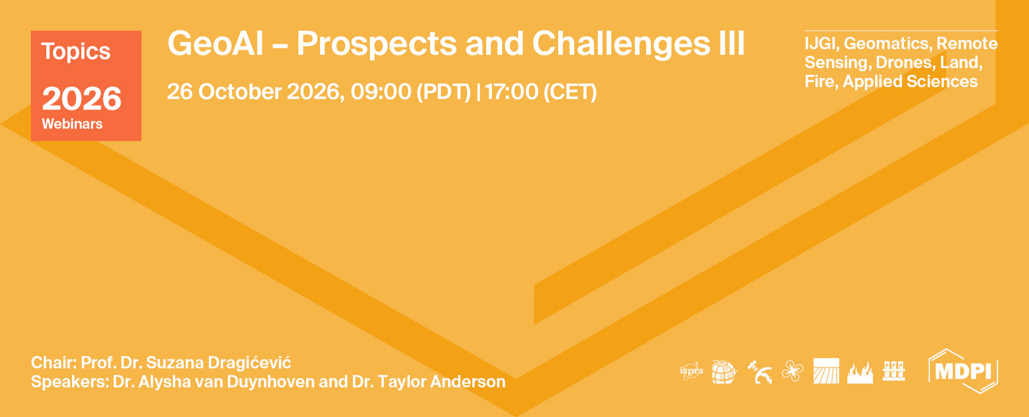
Topics Webinar | GeoAI – Prospects and Challenges III
the chair
GeoAI – Prospects and Challenges II
This webinar series represents a collection of online presentations that brings together scholars from around the world with expertise in the field of Geospatial Artificial Intelligence (GeoAI) and its diverse range of applications. The talks will provide an opportunity to share knowledge, exchange research ideas and discuss the emerging opportunities and challenges that GeoAI presents across different geospatial fields and application domains. Invited leading scholars will communicate their research results and share their perspectives and experiences on the current state and future directions of GeoAI.
MDPI has successfully hosted several well-received webinars in the Earth Observation & Geosciences (EOGEO) series, attracting thousands of researchers worldwide. Building on this momentum, we continue to collaborate with MDPI journals such as IJGI, Geomatics, Remote Sensing, Drones, Land, Fire, and Applied Science, to name a few, to promote high-quality academic exchanges in the fast-growing field of GeoAI.
Date: 28 September 2026
Time: 9:00 PDT | 17:00 CET
Webinar ID: 849 1798 8735
Webinar Secretariat: webinar@mdpi.com
Meet Our Chair

Geography Department, Simon Fraser University, Canada;Suzana Dragićević is a Professor in the Department of Geography and Director of the Spatial Analysis and Modeling (SAM) Research Laboratory at Simon Fraser University (SFU). She works within the multidisciplinary domains of geographic information systems and science (GIS), complexity science, geospatial artificial intelligence (GeoAI) and soft computing for the analysis and modeling of complex dynamic geospatial systems. She is a co-editor of the Springer book series on “Advances in Geographic Information Science” and is a member of numerous international journal editorial boards.
Meet Our Speakers
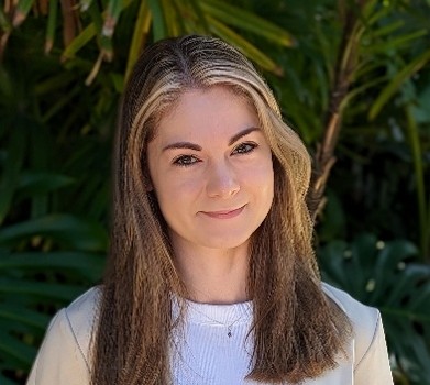
Department of Geography and Environmental Studies, Wilfrid Laurier University, Canada;Alysha van Duynhoven is an Assistant Professor in the Department of Geography and Environmental Studies at Wilfrid Laurier University. Her research focuses on advancing geospatial artificial intelligence methodologies for analysis, modeling, and spatial decision support to address problems arising from human-environment interactions. She was a recipient of the 2024 Esri Young Scholar Award.

Department of Geography and Geoinformation Science, George Mason University, USA;Taylor Anderson is an Associate Professor in the Department of Geography and Geoinformation Science at George Mason University. Her research integrates geographic information science (GIScience), spatial data science, geospatial artificial intelligence (GeoAI), synthetic population generation, and agent-based modeling to study complex human and population systems. Her work focuses particularly on developing geographically detailed population models and simulations for applications in public health, extreme weather, and transportation and planning. She has led and collaborated on research supported by agencies including the National Science Foundation, National Institutes of Health, and U.S. Department of Agriculture.
This is a FREE webinar. After registering, you will receive a confirmation email containing information on how to join the webinar. Registrations with academic institutional email addresses will be prioritized.
Certificates of attendance will be delivered to those who attend the live webinar.
Can’t attend? Register anyway and we’ll let you know when the recording is available to watch.