
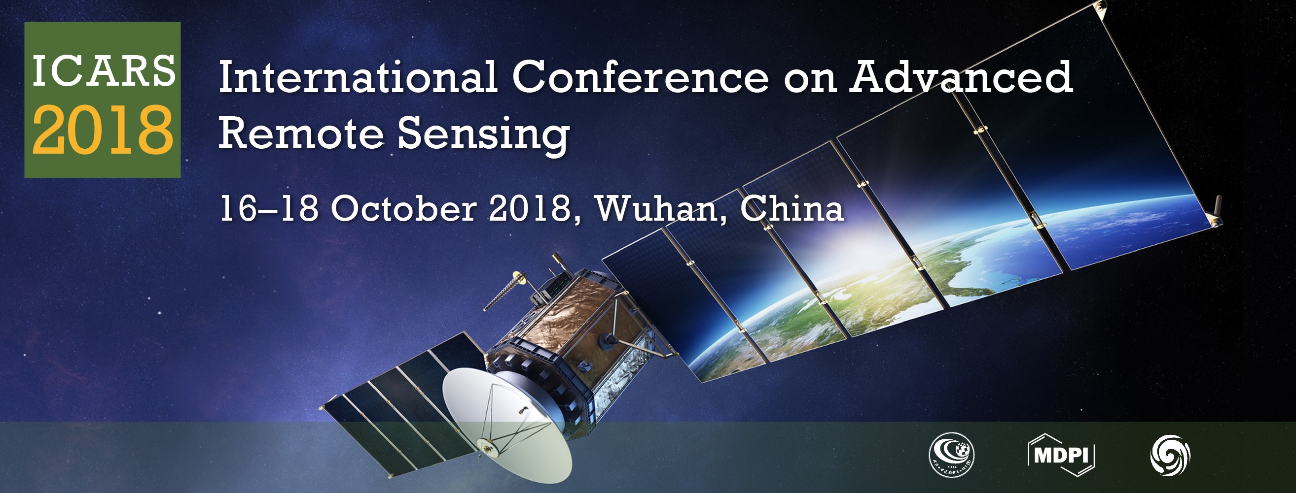
International Conference on Advanced Remote Sensing
The conference was successfully held, thank you!
the chair
Dear Colleagues,
The International Conference on Advanced Remote Sensing will be held from 16-18 October 2018 at Wuhan University in Wuhan, China. The main purpose of the conference is to promote academic exchanges in remote sensing, to share the latest scientific progress, to discuss the challenging problems and to draw a better blueprint. This is a superb opportunity to communicate with the colleagues, which can both demonstrate your new experiment results and solve the problems encountered in the research.
The academic activities will be divided into several parts, such as the main venue, the sub-venue and the commercial exhibitions. The conference will invite experts and scholars who have outstanding contributions in various fields to give oral reports. And there are three topics in the conference, sensors and data acquisition, data processing, and application. Welcome experts, scholars and users from all over the world to attend the meeting. We are looking forward to meeting you in the river city Wuhan.
The main topics and sessions of the conference cover:
- Sensors and Data Acquisition
- Remotely Sensed Data Acquisition
- Airborne Data Acquisition
- Ground Data Acquisition
- Data Processing
- High Resolution Image Processing
- Hyperspectral Image Processing
- Synthetic Aperture Radar Data Processing
- Infrared Image Processing
- Laser Scanning Data Processing
- Application
- Land Application
- Atmosphere Application
- Ocean Application
- Cryosphere Application
All accepted abstracts will be published in the proceedings of the conference. A selection of invited and contributed talks presented during the conference will be invited to submit an extended version of their paper to the open access Journal Remote Sensing.
On behalf of the Organizing Committee, we cordially invite you to join us at the International Conference on Advanced Remote Sensing.

Prof. Dr. Jianya Gong
Member of Chinese Academy of Sciences (CAS)
Dean of the School of Remote Sensing and Information Engineering, Wuhan University
Chairman
|
|
Academician of Chinese Academy of Sciences
Academician of Chinese Academy of Engineering LIESMARS, Wuhan University
|
Co-Chairman
 |
Member of Chinese Academy of Sciences (CAS); Dean of the School of Remote Sensing and Information Engineering, Wuhan University |
 |
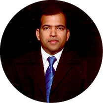
Research Geographer-15, U. S. Geological Survey (USGS), USGS Western Geographic Science Center (WGSC) |
Scientific Committee Members
|
|
|
|
|
Dr. Prasad S. Thenkabail, Committee Chair Research Geographer-15, U. S. Geological Survey (USGS), USGS Western Geographic Science Center (WGSC), 2255, N. Gemini Dr., Flagstaff, AZ 86001, USA |
University Centre of Earth & Space Science, Hyderabad Central University P.O Central University, Hyderabad, India |
National Oceanic and Atmospheric Administration, College Park, MD, USA |
|
|
|
|
|
Department of Soil & Water Resources, Institute of Forage & Industrial Crops, Agricultural Organisation "DEMETER" (former NAGREF); Directorate for Agricultural Research, Ministry of Agriculture, 1, Theofrastou Street, 41335, Larisa, Greece |
Laboratory of Forest Management and Remote Sensing, School of Forestry and Natural Environment, Aristotle University of Thessaloniki, Thessaloniki, Greece |
Laboratory for Earth Observation, Image Processing Laboratory - Scientific Park, Department of Earth Physics and Thermodynamics, Faculty of Physics, University of Valencia, Burjassot, Valencia, Spain |
|
|
|
|
|
Huffington Department of Earth Sciences, Southern Methodist University, Dallas, TX, USA |
Center for OPTical IMagery Analysis and Learning (OPTIMAL), Northwestern Polytechnical University, Xi'an, Shaanxi, China |
Swiss National Forest Inventory, Swiss Federal Research Institute WSL, Birmensdorf, Switzerland |
|
|
|
|
|
School of Geographic Sciences, Key Lab. of Geographic Information Science (Ministry of Education), East China Normal University, Shanghai, China |
Department of Electrical and Computer Engineering, Memorial University, St. John's, NL A1B 3X5, Canada |
Center for Global and Environmental Research & Dept. of Chemical and Biochemical Engineering, USA |
|
|
|
|
|
Wuhan University, Wuhan, China |
School of Geography, University of Nottingham, Nottingham, UK |
National Land Survey of Finland, Finnish Geospatial Research Institute Geodeetinrinne 2, Masala, Finland |
|
|
|
|
|
Department of Forest Resources and Environmental Conservation, Virginia Tech, VA, USA |
Department of Geography, University of Georgia, USA |
Guangxi Key Laboratory for Spatial Information and Geomatics, Guilin Iniversity of Technology, Guilin, China |
|
|
||
University of Technology Sydney, Australia
|
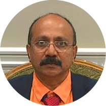
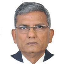

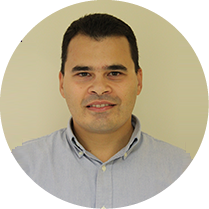
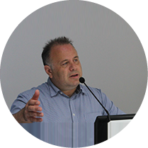
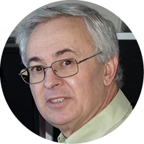
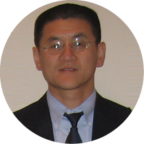



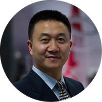



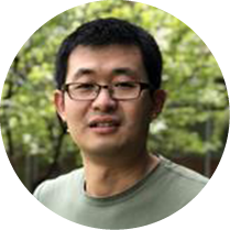



Confirmed Speakers
|
|
|
|
|
Academician of Chinese Academy of Sciences |
Center for Earth Oservation and Digital Earth |
Research Geographer-15, U. S. Geological Survey (USGS), USGS Western Geographic Science Center (WGSC), 2255, N. Gemini Dr., Flagstaff, AZ 86001, USA |
|
|
|
|
|
Institute of Surveying, Remote Sensing and Land Information |
Department of Geomatics Engineering, Istanbul Technical University, Turkey |
Department of Geographical Sciences, University of Maryland, USA |
|
|
||
|
Department of Atmospheric Sciences, University of Illinois, USA |

Conference Secretariat
Ms. Yanhua Li
Mr. Cris Wang
E-Mail: ICRS2018@mdpi.com
Tel.: +027-87808658
Sponsoring Opportunities
For information regarding sponsoring opportunities, please contact the conference secretariat.
Meet Our Chair

Research Geographer-15, U. S. Geological Survey (USGS), USGS Western Geographic Science Center (WGSC);
Important Dates
30 May
2018
30 May
2018
15 Jul
2018
16 Jul
2018
5 Aug
2018
31 Aug
2018
18 Oct
2018
18 Oct
2018





- Multi-spectral and hyperspectral remote sensing
- Active and passive microwave remote sensing
- Lidar and laser scanning
- Geometric reconstruction
- Physical modeling and signatures
- Change detection
- Image processing and pattern recognition
- Data fusion and data assimilation
- Dedicated satellite missions
- Operational processing facilities
- Spaceborne, airborne and terrestrial platforms
- Remote sensing applications
2018年10月16日至18日,由武汉大学和MDPI主办,武汉大学遥感信息工程学院,武汉大学测绘遥感信息工程国家重点实验室和地球空间信息技术协同创新中心承办的2018国际遥感前沿大会(ICARS,International Conference on Advanced Remote Sensing)将在长江之滨美丽的武汉大学举行。
本次大会的主要目的是:
- 促进遥感领域的学术交流
- 分享最新的研究进展
- 讨论科研中所遇到的问题
- 共同规划遥感领域的蓝图
会场将分为主会场,次会场,商业展览。会议将邀请在遥感领域内有着杰出贡献的专家学者作口头报告。欢迎国内外的专家学者参加此次会议,我们期待在美丽的江城武汉与您见面。
会议议题包括:
- 传感器和数据采集
- 遥感数据采集
- 航空数据采集
- 地面数据采集
- 数据处理
- 高分辨图像处理
- 高光谱图象处理
- 合成孔径雷达数据处理
- 红外图像处理
- 激光扫描数据处理
- 应用
- 陆地应用
- 大气应用
- 海洋应用
- 冰冻圈应用
优秀摘要和全文经扩展后将被推荐至Remote Sensing期刊 (IF 3.406,中科院二区),录用后作者将享受20%的出版费折扣。
会议主席
|
|
中国科学院院士,中国工程院院士,国际欧亚科学院院士,国际宇航学院通讯院士,国际摄影测量与遥感学会荣誉会员
现任武汉大学学术委员会主任,测绘遥感信息工程国家重点实验室学术委员会主任, 地球空间信息技术协同创新中心主任 |
副主席
|
中国科学院院士,现任武汉大学遥感信息工程学院院长 |
|
美国国家地质调查局(USGS)首席专家,美国国家地质调查局西部地理科学中心。 |
学术委员会
|
|
|
|
|
Dr. Prasad S. Thenkabail, 委员会主席 美国国家地质调查局(USGS)首席专家,美国国家地质调查局西部地理科学中心。 |
地球空间科学中心,海得拉巴大学,印度 |
美国国家海洋和大气管理局,美国 |
|
|
|
|
|
工业和饲料作物研究所,希腊农业组织 DEMETER(原NAGREF) |
森里管理遥感实验室,森林与自然环境学院,亚里士多德大学,希腊 |
地球观测实验室,图像处理实验室 - 地球物理与热力学系,物理学院,巴伦西亚大学,西班牙 |
|
|
|
|
|
地球科学赫芬顿学院,南卫理公会大学,美国 |
光学影像分析与学习中心,西北工业大学,中国 |
瑞士联邦研究所 WSL, 瑞士 |
|
|
|
|
|
地理科学学院,地理信息科学教育部重点实验室,华东师范大学,中国 |
电气与计算机工程系,纽芬兰纪念大学,加拿大 |
全球环境研究中心,化学与生物化学工程系,美国 |
|
|
|
|
|
武汉大学,中国 |
地理学院,诺丁汉大学,英国 |
芬兰地理空间研究所,芬兰 |
|
|
|
|
|
森林资源与环境保护系,弗吉尼亚理工大学,美国 |
||
|
|
||
|
|
|
会议报告嘉宾
|
|
|
|
|
中国科学院院士,中国工程院院士,测绘遥感信息工程国家重点实验室 |
中国科学院院士,对地观测与数字地球中心,中国科学院 |
美国国家地质调查局(USGS)首席专家,美国国家地质调查局西部地理科学中心 |
|
|
|
|
|
奥地利测绘遥感地理信息研究所 |
伊斯坦布尔理工大学,土耳其
|
马里兰大学,美国
|

会议联系
Ms. Yanhua Li
Mr. Cris Wang
邮箱: ICRS2018@mdpi.com
电话: +027-87808658