Drones Webinar | Drones for Natural Hazards
the chair
4th Drones Webinar
Drones for Natural Hazards
In recent years, unmanned aerial vehicles (UAVs) have seen significant technological advancements, expanding their applications in disaster risk management. UAVs provide high-resolution, non-invasive data that is essential in all stages of the disaster cycle—preparedness, response, recovery, and mitigation. From hazard mapping to emergency response and search and rescue, UAVs and intelligent swarms are becoming vital tools for professionals worldwide.
Additionally, UAV-derived datasets improve and validate spaceborne applications in disaster management. When combined with geographic information systems (GIS) and geospatial AI, they further enhance decision-making and scientific research. The growing availability of affordable consumer-grade UAVs also encourages citizen science contributions, making risk-related activities more inclusive and accessible.
Date: 30 April 2025
Time: 10:00 am CEST | 4:00 pm CST Asia
Webinar ID: 864 6090 5339
Webinar Secretariat: journal.webinar@mdpi.com
Meet Our Chair
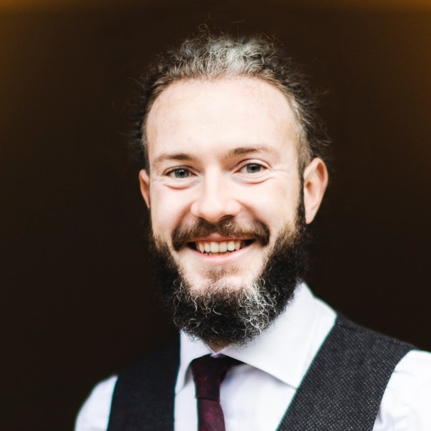
Department of Civil and Environmental Engineering, Politecnico di Milano, Italy;Vasil Yordanov obtained his MSc degree in Civil Engineering for Risk Mitigation at Politecnico di Milano in 2016 and successfully defended his PhD in National Security in September 2022. He is currently a researcher at the GISGeoLab of Politecnico di Milano, where his primary research focuses on GIS, Earth Observation, and AI to address environmental challenges, supporting sustainable development and mitigation strategies.
Meet Our Speakers

Prof. Taichi Furuhashi
School of Global Studies and Collaboration, Aoyama Gakuin University, Japan;Taichi Furuhashi is passionate about mapping, connecting local communities with maps, and sharing knowledge to empower people. As you know, the Huge Earthquake and Tsunami destroyed a lot of cities and local communities in the East Japan area, 2011. He and local people are trying, how to make a more resilient society with Mapping, Panorama/VR, and Drone technology. Taichi is a professor at Aoyama Gakuin University and President of CrisisMappers Japan, NPO. Now he has started DRONEBIRD project with drones for Disaster Crisis Response, supported by WeRobotics/FlyingLabsNetwork. In addition, he has worked as advisory board chairman of Project PLATEAU as 3D Digital Twin.
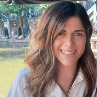
Department of Geology, University of Patras, Greece;Dr. Aggeliki Kyriou is a post-doc researcher at the Department of Geology of the University of Patras. She holds a Ph.D. in Remote Sensing and GIS (2021), which was funded by the Hellenic Foundation for Research and Innovation (HFRI). Her research was focused on the synergistic use of different remote sensing data (i.e. SAR, multispectral, LiDAR, GNSS) for landslide monitoring. Since 2021, she works in research projects (PROION, UNMASK, m4mining) funded by European and Greek national funds. She also received a Master's degree in "Geosciences and the Environment" (2017) and a Bachelor's degree in Geology (2015). Her main research interests include Earth observation using remote sensing data obtained from different sensors (SAR, multispectral, UAVs, TLS etc.), GNSS measurements and GIS applications.
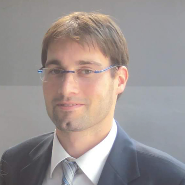
Department of Architecture, Built Environment, and Construction Engineering, Politecnico di Milano, Italy;Professor at Politecnico di Milano (Italy), sector Surveying and Cartography (ICAR/06). Faculty Member at CIMS, Carleton Immersive Media Studio, Carleton University, Ottawa, Ontario (Canada). Main research activities are based around photogrammetry from different platforms (satellite, aerial, drone, terrestrial), laser scanning (aerial and terrestrial), and computer vision. Acquisition, processing and visualization methods for structural health monitoring and vision metrology.


In this section, you will find the recordings of this webinar to watch, re-watch and share with your colleagues!