Drones Webinar | Drone Technologies for Wildfire Management: Socio-Economic Assessment, WUI Risk Analysis, and Strategic Planning Tools in TREEADS
the chair
Join us for an engaging and insightful webinar that delves into the transformative role of drone technology and simulation tools in wildfire prevention and management, as explored within the European TREEADS project. As wildfires become increasingly frequent and devastating, especially in areas where forests and urban environments meet, innovative approaches are urgently needed. This session will present how drones are being used not only for detailed forest mapping and the analysis of socio-economic impacts caused by wildfires, but also for assessing risks in Wildland–Urban Interface (WUI) zones—critical hotspots where human lives and infrastructure are most at risk. Moreover, we will explore how simulations and UAVs are shaping the planning and management of strategic areas during wildfire events, offering faster, data-driven responses for emergency services and forest managers. Do not miss this opportunity to discover how technology is advancing the way we understand, prepare for, and respond to wildfires.
Date: 8 May 2025
Time: 2:00 p.m. CEST | 8:00 a.m. EDT
Webinar ID: 884 7109 5338
Webinar Secretariat: journal.webinar@mdpi.com
Meet Our Chair
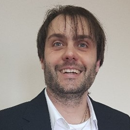
Department of Mining Technology, Topography and Structures University of León, Spain;Prof. Dr. Pablo Rodríguez-Gonzálvez, surveyor (2004), geodesist, and cartographer (2006), PhD (2011), is a full-time professor at University of León (Spain) and has actively engaged in geotechnologies research since 2007. He combines his passion for innovation with knowledge transfer through teaching and software development. His research career is supported by the publication of over 90 articles in scientific journals, as well as about 40 contributions to international conferences, the editing of 6 books, authorship of 14 book chapters, 12 national patents, and 26 intellectual properties, all focused on diverse applications of geotechnologies. He is the coordinator of the DRACONES research group, dedicated to the documentation and analysis of the natural environment.
Meet Our Speakers
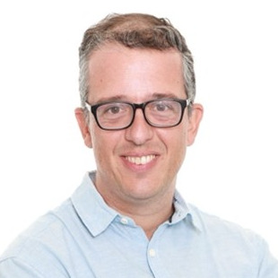
Dr. Diogo Vallim
Department of Management, Society and Communication, Copenhagen Business School, Sweden;Dr. Vallim is a social scientist specializing in natural resource governance, with a background in development studies (MA in Governance and Development, Institute of Development Studies, as a Chevening Scholar) and Business Administration (Ph.D. in Administration, EBAPE/FGV). His research focuses on risk management, global value chain regulation, and stakeholder engagement. Recent publications appear in leading journals on ecology, economics, and information systems for crisis response and management. He currently coordinates socio-economic governance efforts within the TREEADS project.
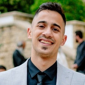
Mr. Andreas Lefkatis
ACCELIGENCE, Greece;Dr. Lefkatis received a B.Sc. degree in Mechanical Engineering and an M.Sc. in Aeronautics from the University of Patras, Greece. He has been actively involved in the design, development, and integration of UAV prototypes for various applications, combining engineering expertise with practical field deployment. Over the past three years, he has contributed to multiple European research and innovation projects, including TREEADS, XTRACT, and ODYSSEUS, focusing on the implementation of advanced drone systems in complex and multidisciplinary environments. He is currently working at ACCELIGENCE, where he plays a key role in the development of autonomous aerial platforms and the adaptation of UAV technologies to real-world challenges.
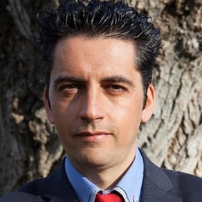
Cartographic and Land Engineering Department University of Salamanca, Spain;Dr. Gonzalez-Aguilera received a B.Sc. degree in Surveying Engineering and a M.Sc. degree in Geodesy and Cartography Engineering from Salamanca University, Spain, in 1999 and 2001, respectively. He was a Research Assistant at INRIA, Grenoble, France, in the Institute of Computer Vision and Robotics, where he also performed his PhD research on 3D reconstruction from a single view, graduating in 2005. He has authored more than 400 research articles in international journals and conference proceedings. He is also the co-inventor of 12 patents and 35 intellectual properties (software). Based on his PhD results, he has received nine international awards from the International Societies of Photogrammetry and Remote Sensing (ISPRS/ASPRS). In 2005, he founded the research group TIDOP (https://tidop.usal.es) (geotechnologies for the 3D digitization and modeling of complex objects) at the University of Salamanca. He is a Full Professor and Head of the Cartographic and Land Engineering Department and PhD Program at the University of Salamanca, as well as co-founder and CTO of the start-up ITOS3D (Image TO Smart 3D). In 2015, the Royal Academy of Engineering recognized his efforts and work in the field of engineering and in the democratization of photogrammetry. In 2020, the ISPRS recognized his special, personal, and meritorious contributions in the field of photogrammetry, with him being the second Spanish citizen ever to receive this award since its inception in 1996.






This webinar brought together leading experts to discuss the latest innovations in drone technologies applied to wildfire management. Dr. Diogo Vallim opened the session by presenting how socio-economic variables can be combined with spatial data from drones in wildland-urban interface areas to enhance wildfire management planning. Next, Prof. Dr. Diego González-Aguilera demonstrated how 3D data captured by drones can be integrated with other information sources to improve wildfire prediction and response. His presentation included a live demo showcasing the potential of this integrated approach for wildfire simulation. Finally, Mr. Andreas Lefaktis introduced a range of UAV platforms and configurations designed to support the full wildfire management cycle: from prevention and monitoring to post-burn assessment and ecosystem restoration.
This webinar was hosted on Zoom and required prior registration to attend. The full recording can be accessed below. In order to learn about future webinars, you can sign up for our newsletter by clicking “Subscribe” at the top of this page.
Drones for Wildfire and Prescribed Fire Science
Guest Editors: Dr. Brian K. Gullett, Dr. Johanna Aurell, Dr. Pantelis Velanas, & Prof. Dr. Diego González-Aguilera
Deadline for Manuscript Submissions: 25 August 2025
Understanding Disasters in a Changing Landscape: Causes, Impacts and Mitigation Strategies
Guest Editors: Prof. Dr. Fotis Maris, Prof. Dr. Panagiotis Angelidis, & Dr. George Papaioannou
Deadline for Manuscript Submissions: 31 October 2025