The 1st International Online Conference on Geomatics
The IOCGM 2027 is Now OPEN for Abstract Submission and Registration!
Instructions for Authors are available online.
Submit your abstracts HERE.
For any inquiries, please contact us at iocgm2027@mdpi.com.
the chair
Dear Colleagues,
It is my great pleasure to welcome you to the 1st International Online Conference on Geomatics (IOCGM 2027), organized by the MDPI journal Geomatics (ISSN: 2673-7418, Impact Factor 3.7). This fully online conference will be held from 17 to 18 March 2027, breaking down geographical barriers and enabling scholars from around the world to engage in cutting-edge discussions.
IOCGM 2027 is designed to provide a high-quality platform for academic exchange and collaboration in the diverse and rapidly evolving field of Geomatics. By bringing together experts across relevant domains, the conference aims to foster knowledge advancement, encourage interdisciplinary research, and support the development of innovative solutions for real-world spatial challenges.
We are pleased to announce the conference sessions and warmly invite submissions:
S1. Remote Sensing Technologies and Earth Observation
S2. Photogrammetry and 3D Geospatial Data Processing
S3. GeoAI, Geospatial Big Data and Spatial Analytics
S4. Geodesy, Positioning and Navigation
S5. Spatial Data Infrastructure, Mapping and Digital Platforms
S6. Geomatics Applications and Societal Impact
Participating in IOCGM 2027 offers multiple advantages. The fully online format allows scholars to join from anywhere in the world, eliminating travel and related expenses. Submissions will be carefully reviewed by leading experts, providing valuable academic feedback to strengthen your work. Registration and participation are free, and authors have the opportunity for cost-free publication, ensuring their research reaches a broad international audience and gains greater academic visibility.
During the conference, live Q&A sessions will enable direct interactions with speakers and experts, fostering dynamic discussions and networking opportunities. Additionally, outstanding contributions may be recognized with conference awards, highlighting exceptional research and innovative ideas.
We sincerely look forward to your participation and to advancing the frontiers of Geomatics together.
Kind regards,
Prof. Dr. Enrico Corrado Borgogno-Mondino
University of Turin, Italy
More News about MDPI Conferences


Meet Our Chair
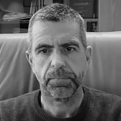
Department of Agricultural, Forest and Food Sciences, University of Turin, Grugliasco, Italy;Full Professor in Geomatics by the Dept of Agricultural, Forest and Food Sciences (DISAFA) - University of Torino. 1996 - Master's Degree in Environmental Engineering at the Politecnico di Torino (Italy); 2004 - Ph.D. in Geodesy and Geomatics at the Politecnico di Milano (Italy). Since 2002, a lecturer in BSc, MS, post-graduate masters, and PhD courses. Main research topics concern agro-forestry applications of Geomatics, including optical and SAR remote sensing, digital photogrammetry, LiDAR, GIS, and survey. Author of more than 150 papers in National and International Scientific Proceedings, Journals, and Books. Editor-in-Chief of MDPI Geomatics and editorial board member in some other International Journals. President of the Italian Society of Remote Sensing (AIT) since 2023. President of the Italian Confederation of Scientific Associations for Territorial and Environmental Information (ASITA) since 2025. Chair of the Agriculture Special Interest Group (SIG) of the European Association of Remote Sensing Laboratories EARSeL. Scientific responsible for various national and international research projects and tutor of more than 40 BS, MS, and PhD theses. ORCID: https://orcid.org/0000-0003-4570-8013
Important Dates
20 Nov
2026
18 Dec
2026
11 Mar
2027
Meet Our Speakers
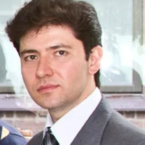
Prof. Dr. Ali Mansourian
Department of Earth and Environmental Sciences, Lund University, Lund, Sweden;Ali Mansourian is Professor of Geomatics at Lund University, Sweden, and Director of the Lund University GIS Centre. His research focuses on GeoAI, spatial intelligence, autonomous GIS, spatial decision support, and Spatial Data Infrastructures, with applications in areas such as urban planning, environmental management, disaster risk reduction, and health. He leads and coordinates major international research, education, and capacity-building initiatives and has extensive experience in European and international projects. He has served in several international scientific networks, such as AGILE and ISDE. His current research explores Geo-LLMs, agentic AI, and the future of Autonomous GIS.
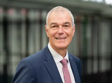
Institute of Geodesy, Leibniz University Hannover, Hannover, Germany;Talk: Modern Concepts and Quantum Technology for Geodesy. Jürgen Müller has been Full Professor of Physical Geodesy at Leibniz Universität Hannover, Germany, since 2001. He studied Geodesy at the Technical University of Munich, where he also completed his doctoral degree with distinction in 1991. His primary research interests include satellite gravity field missions, terrestrial gravimetry—including innovative measurement concepts—Earth system science, lunar laser ranging, and tests of general relativity. His recent research focuses on the potential benefits of quantum technologies in geodesy, such as quantum accelerometers/gravimeters, as well as optical clock networks for novel height systems and monitoring mass variations. Within the International Association of Geodesy (IAG), he chairs the project "Novel Sensors and Quantum Technology for Geodesy" (QuGe).
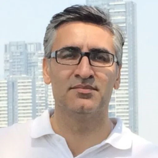
Department of Infrastructure Engineering, The University of Melbourne, Melbourne, Australia;
-6aab5001c9230.png)
Φ-Lab Explore Office, European Space Research Institute (ESRIN), European Space Agency (ESA), Frascati, Italy;






Ms. Yinuo Chen
Ms. Rocksy Zhang
Ms. Ann Li
Email: iocgm2027@mdpi.com
For inquiries regarding submissions and sponsorship opportunities, please feel free to contact us.