Sessions & Session Chairs
Sessions
S1. Remote Sensing Technologies and Earth Observation
S2. Photogrammetry and 3D Geospatial Data Processing
S3. GeoAI, Geospatial Big Data and Spatial Analytics
S4. Geodesy, Positioning and Navigation
S5. Spatial Data Infrastructure, Mapping and Digital Platforms
S6. Geomatics Applications and Societal Impact
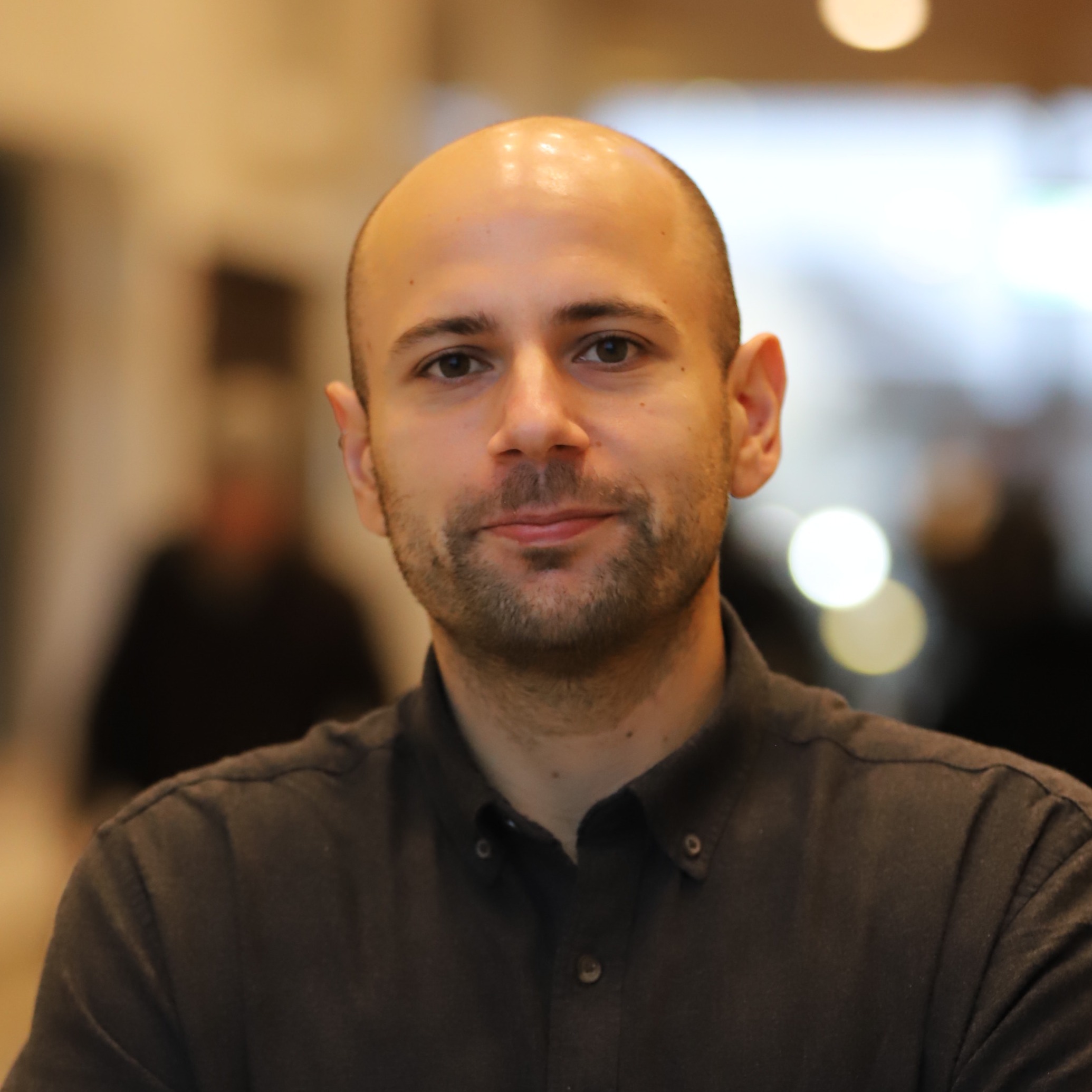
Department of Environmental and Life Sciences, Karlstad University, Karlstad, Sweden
Dr. Stefanos Georganos is an Associate Professor in Geomatics at Karlstad University and an affiliate researcher with Université Libre de Bruxelles, Belgium. His research sits at the intersection of quantitative human geography, remote sensing, spatial epidemiology, demography, and machine learning. His work focuses on the Global South and in the use of geo-information for helping address the UN Sustainable Development Goals. His research unravels the potential of machine and deep learning and Earth Observation to detect, measure, and characterize socio-economic inequalities in deprived urban areas in support of the most vulnerable populations. He currently, serves as the president of the European Association of Remote Sensing Laboratories (EARSeL).
Belgian Federal Science Policy Office, Space Research and Applications Division, Brussels, Belgium
Jean-Christophe SCHYNS holds a master's degree in geography (graduated in 2001) obtained from the University of Liège – Belgium. After having worked for 6 years as a researcher in the Geography Department (University of Liège), he moved to the Belgian Science Policy Office (BELSPO) as a programme manager in the Belgian Space Department. He is still working there and manages different space programmes (national, international – mainly with ESA – and bilateral) in the domain of Earth observation on behalf of Belgium. He is a former President of the European Association of Remote Sensing Laboratories (EARSeL) and is currently Vice-President.
More information: https://www.linkedin.com/in/jean-christophe-schyns-5617385b/

Geodesy and Geomatics Division-DICEA, Sapienza University of Rome, Rome, Italy
Mattia Crespi received his degree in Civil Engineering Summa cum Laude in 1987 at Politecnico di Milano (Milan, Italy) and his PhD in Geodesy and Surveying in 1992 at Politecnico di Torino (Turin, Italy). He has been a professor of Positioning and Geomatics at the Sapienza University of Rome since 2005, and director of the Sapienza School for Advanced Studies (since 2021), where he is senior fellow (since 2015) and was coordinator of the Academic Class in Science and Technology (2018-2021). He is the coordinator of the National PhD Course in Earth Observation (since 2022). He is a research associate at Istituto Nazionale di Geofisica e Vulcanologia (since 2024). He is a fellow (Socio Corrispondente) of the Accademia Nazionale dei Lincei (Italian Academy of Science), of the International Association of Geodesy (since 2019), and a member of the Copernicus Academy (since its foundation in 2016). He is an author and co-author of more than 300 publications (more than 130 internationally peer-reviewed). His investigation topics are: computational problems in geodesy and photogrammetry; geodetic positioning, navigation, and monitoring; GNSS seismology, ionosphere sounding, and meteorology; optical and SAR image processing; 3D objects and terrain modeling; geodesy and Earth observation for geohazards; geospatial big data analysis; geomatics versus other sciences (urban climatology, glaciology, archaeology). He is a co-inventor of two patents, supported by the Sapienza University of Rome, in the frame of GNSS positioning (VADASE, 2010) and optical and SAR satellite imagery processing (matching strategy, 2013).
Faculty of Built Environment, University of New South Wales, Sydney, NSW, Australia
Sisi Zlatanova is SHARP Professor at UNSW Sydney and Head of the GRID Lab. She obtained her PhD from Graz University of Technology. Her research focuses on 3D modelling, BIM–GIS integration, 3D indoor modelling, voxel representations, 3D data management, and AI-supported approaches for simulation and spatial data querying. Together with her research team, she advances the development of Agentic Spatial Digital Twins with enhanced 3D capabilities, simulations and predictions. Her influence extends globally through advisory roles supporting research teams and institutions. Professor Zlatanova has authored more than 600 scientific publications, edited 23 books, and served as associate editor for several leading international journals.
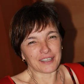
Department of Civil and Environmental Engineering, Politecnico di Milano, Milano, Italy
Maria Antonia Brovelli is a Full Professor at Politecnico di Milano, specializing in GIS, Earth Observation, geomatics, GeoAI, and open-source geospatial technologies. She holds an honours degree in Physics and a PhD in Geodesy and Cartography. At PoliMI, she has led GEOLab and served as Vice-Rector for the Como Campus; she has also lectured at ETH Zurich. Internationally, she is active in ISDE, ISPRS, UN-GGIM, UN Open GIS, the Copernicus Academy, and AI for Good. She leads and contributes to numerous national and international research projects advancing geospatial innovation, sustainability, and education globally through science, open data, and collaboration.
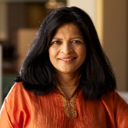
Department of Earth and Environment, Boston University, Boston, MA, USA
Dr. Suchi Gopal is a Professor in the Department of Earth and Environment at Boston University (BU) and a research affiliate at five centers at Boston University. She holds a visiting professor appointment at the Vienna University of Business and Economics in Austria. Her multidisciplinary research primarily delves into the intricate world of geospatial data analysis and modeling, GIS, data mining, information visualization, and AI. Over the years, Dr. Gopal has pioneered numerous methodologies and concepts, including fuzzy sets in accuracy assessment, neural networks for pattern classification, estimation, and mixture modeling. Her work often combines data science, AI, and statistical analysis with practical applications in urban planning, systems modeling, public health, and sustainable finance, resulting in holistic solutions to some of society’s most challenging problems.
Department of Civil, Architectural and Environmental Engineering, University of Naples Federico II, Italy
Giovanni Pugliano is Professor of Geomatics Engineering in the Department of Civil, Building and Environmental Engineering (DICEA) at the Federico II University of Naples, Italy. His research has focused on Global Navigation Satellite Systems (GNSS), including methodological developments and engineering applications, since completing his Ph.D. on network-based Real-Time Kinematic (RTK) positioning in collaboration with the Position, Location, and Navigation (PLAN) Group at the University of Calgary, Canada. He is currently involved in several research projects on the development, validation, and testing of advanced GNSS-based methods for high-precision positioning, navigation, and related geospatial applications.
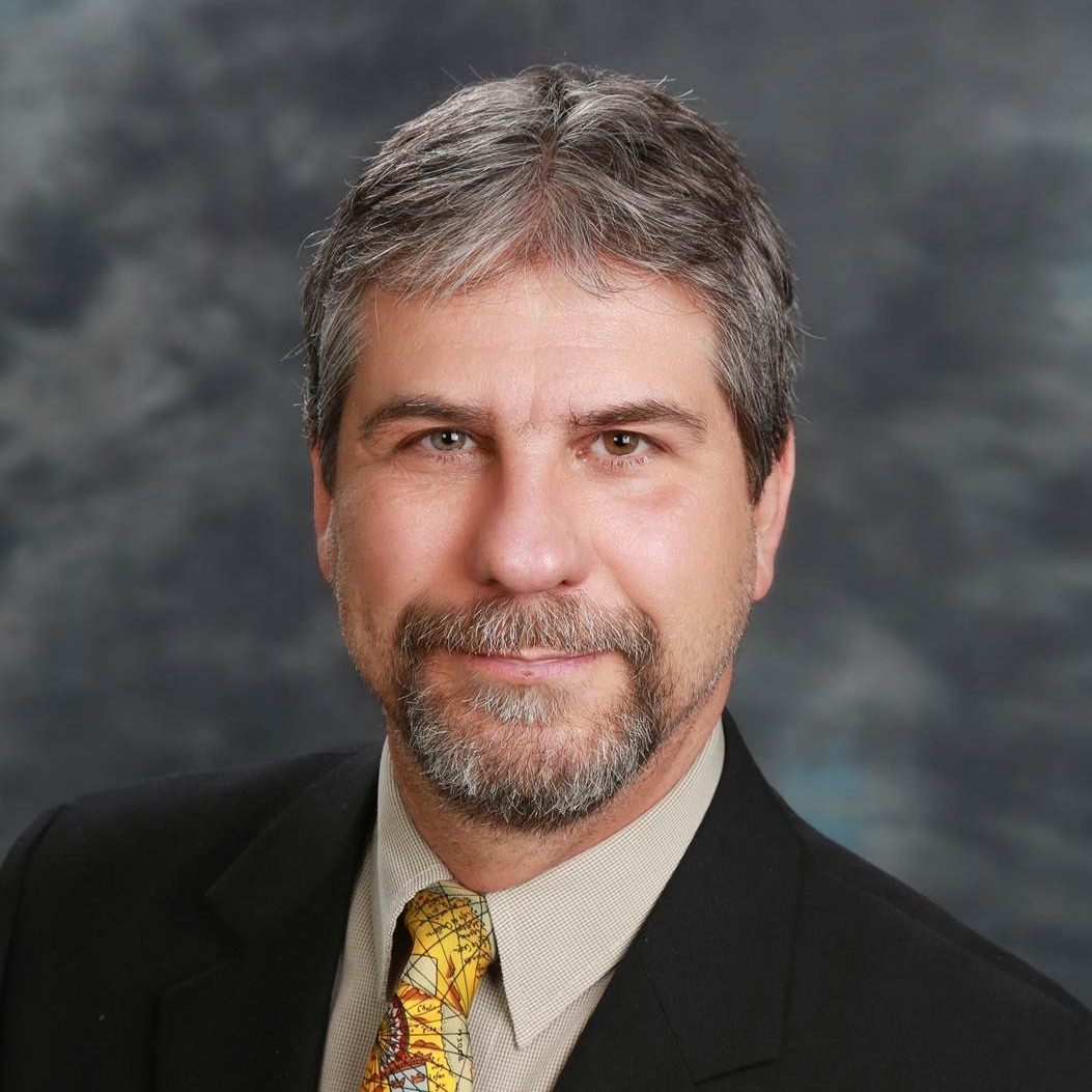
Department of Geodesy and Geomatics Engineering, University of New Brunswick, Fredericton, NB, Canada
Prof. Dr. Marcelo Santos' research interests and activities lie in the field of geodesy, including geoid modelling, systems of heights, GNSS applications to geodesy, monitoring the neutral atmosphere, and geodesy for climate. He is currently vice-president of the International Association of Geodesy (IAG) Project Novel Sensors and Quantum Technology for Geodesy. He was previously president of IAG Commission 4 Positioning and Applications and member of the IAG Executive, and president of the Geodesy Section of the Canadian Geophysical Union. Professor Santos is associated with the Department of Geodesy and Geomatics Engineering at the University of New Brunswick, Canada.
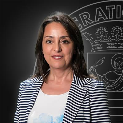
Department of Computer Science, University of Salerno, Salerno, Italy
Monica Sebillo is currently an Associate Professor at the Department of Computer Science, University of Salerno. Her research interests include geographic databases and information systems, Human-GIS interaction, and geographic information engineering. She has a Bachelor’s degree in Computer Science and a PhD in Applied Math and Computer Science from UNINA. She is an ACM senior member and an EUROGI Executive Committee member representing the current President of AM/FM GIS Italia. Monica is also involved in many international and national research projects and has several collaborations with professors from Italian and foreign universities. She also collaborates with companies and international organizations to apply research in the field of geographic information.
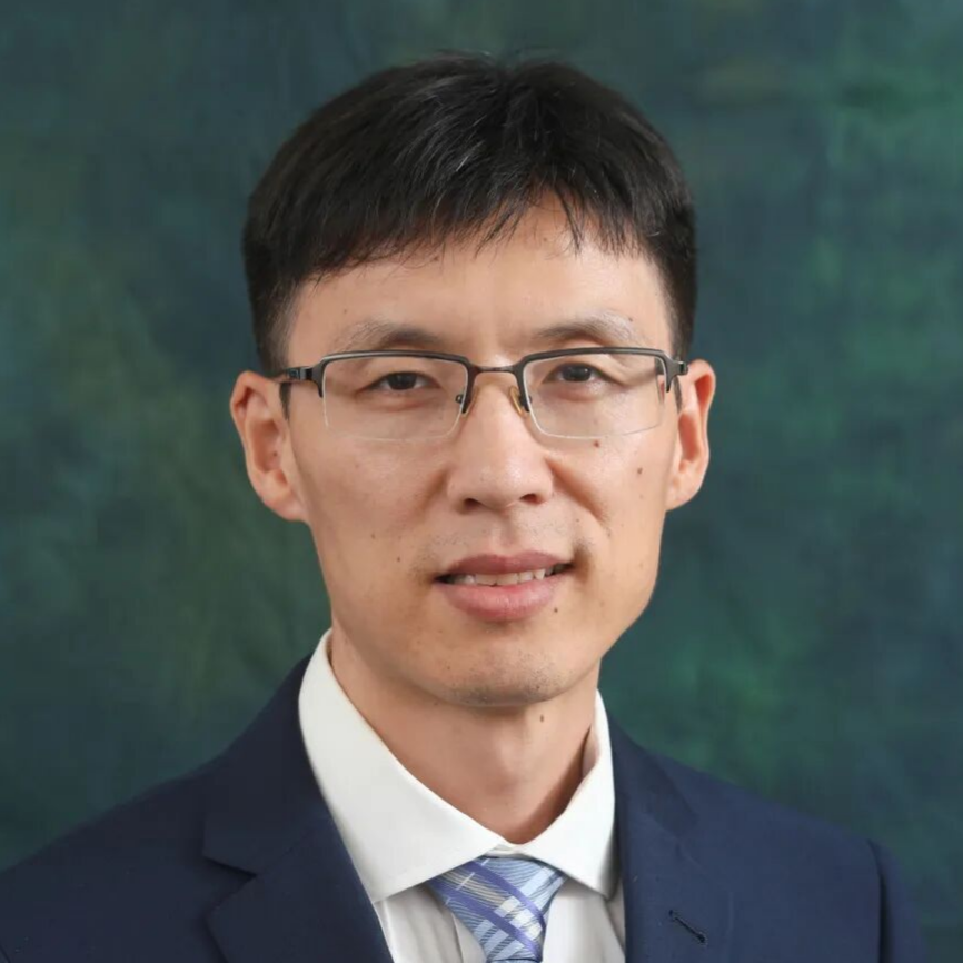
Department of Land Surveying and Geospatial Science, The Hong Kong Polytechnic University, Hong Kong, China
Xintao Liu is an Associate Professor in the Department of Land Surveying and Geospatial Science at The Hong Kong Polytechnic University (PolyU). He earned his PhD from the Royal Institute of Technology (KTH), Sweden. Prior to joining PolyU in 2016, he worked as a postdoctoral fellow and sessional lecturer at Toronto Metropolitan University, Canada. His research spans GIS, human geography, and complexity science. He leverages modern technologies to drive smart city development and improve the quality of urban life. He is the PI of projects funded by the NSFC, RGC, and other funding bodies. He currently serves as Chair of the ICA Commission on Geospatial Analysis and Modelling and Secretary-General of the Hong Kong GIS Association.
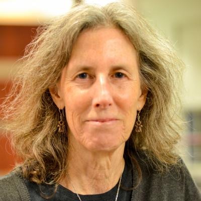
Franklin College of Arts and Sciences, University of Georgia, Athens, GA, USA
Marguerite Madden, is a Professor in the University of Georgia (UGA) Department of Geography. She was the Director of the UGA Center for Geospatial Research (CGR) for 20 years and is currently CGR Associate Director for Education and Outreach. She obtained her Ph.D. in Ecology from the University of Georgia in 1990. Since the late 1970s, she has conducted research combining remote sensing and geospatial analyses with landscape ecology, particularly focused on vegetation mapping and human-animal-environment interactions. She has advised over 50 PhD and Masters students and served in leadership roles of the American Society of Photogrammetry and Remote Sensing (ASPRS) and the International Society for Photogrammetry and Remote Sensing (ISPRS).
SAGAS, Department of History, Archaeology, Geography, Fine and Performing Arts, University of Florence, Florence, Italy
Paola Zamperlin is an Associate Professor in Geography at the University of Florence, President of the Italian Association of Cartography, and President of the ASITA Scientific Committee. Her research combines GIS, historical cartography, smart cities/digital twins, cultural heritage, migration, landscape studies, and territorial inequalities. She has worked on funded national and international projects. Recent publications include works on digital twins, digital Water, Industry 4.0 and inequalities, GeoAI/walkability, and smart cities. She has also edited major cartography and geomatics proceedings, including ICC 2021 and ASITA 2021–2024 volumes, and has extensive international conference activity.