
NDT Webinar | Real-Time Drone Mapping: Achievements and Challenges Towards Autonomous Solutions
Meet Our Speaker
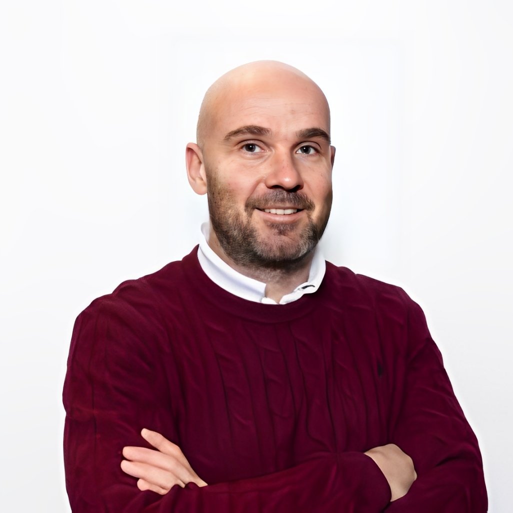
Earth Observation Science (EOS) Department, University of Twente, The Netherlands;Prof. Dr. Francesco Nex is currently an Adjunct Professor (UHD1) in the Earth Observation Science (EOS) Department at the University of Twente, where he holds the position of Chair of Real-Time Analytics for Ubiquitous Geo-Sensors. Francesco received his Master's degree in Environmental Engineering (2006) and his PhD (2010) from the Politecnico di Torino (Italy). From 2011 to 2015, he was with the 3DOM unit of FBK (Italy), working as a Marie-Curie Post-Doc in the CIEM Project. In 2015, Francesco joined the University of Twente, initially as an Assistant Professor and later as an Associate Professor, in the Faculty of Geo-Information Science and Earth Observation (ITC). His research focuses on the development of innovative solutions integrating elements from photogrammetry, deep learning, and adjacent domains such as robotics to promote the application of UAV imagery in a variety of real-world remote sensing and geomatics applications, as well as their geometric and semantic integration with terrestrial, airborne, and satellite data. He aims to implement automated, real-time, and transferable solutions to be adopted in contexts such as disaster management, infrastructure monitoring, and precision farming. He has been involved in several European and national research projects investigating the use of UAV data for remote sensing applications. He is the Chairman of the ICWG II/Ia (Autonomous Sensing Systems and Their Applications) of the ISPRS (International Society of Photogrammetry and Remote Sensing), and he was the PI of several different ISPRS scientific and education initiatives. He has chaired more than 15 conferences and workshops and held multiple distinct roles on several Editorial Boards of indexed journals.




5th Webinar on NDT
Real-Time Drone Mapping: Achievements and Challenges Towards Autonomous Solutions
On Wednesday, 7 May 2025, MDPI, NDT, and The UWL Faringdon Research Centre for Non-destructive Testing and Remote Sensing coordinated a webinar entitled "Real-Time Drone Mapping: Achievements and Challenges Toward Autonomous Solutions." As the fifth webinar in the NDT webinar series, the session featured Prof. Dr. Francesco Nex from the Earth Observation Science (EOS) Department at the University of Twente, The Netherlands, as the keynote speaker. The event was sponsored by Remote Sensing and Drones. The session was moderated by Professor Fabio Tosti from the UWL Faringdon Research Centre, University of West London, UK. Prof. Dr. Nex delivered an in-depth presentation encompassing the data acquisition and processing workflows in drone-based mapping, alongside a critical analysis of current market limitations constraining the realisation of (near) real-time data processing within the workflow pipelines. The presentation also examined emerging approaches to overcome these limitations through novel deep learning architectures and by benefitting from advancements in hardware technologies.
This webinar provided a comprehensive overview of the progress in 3D real-time drone mapping methodologies and explored the existing challenges researchers face in advancing toward more autonomous and resource-efficient solutions. Additionally, the role of AI-driven techniques in enhancing system performance and adaptability was explored, providing new perspectives on future research directions in this domain.
In this section, you will find the recordings of this webinar to watch, re-watch and share with your colleagues!