
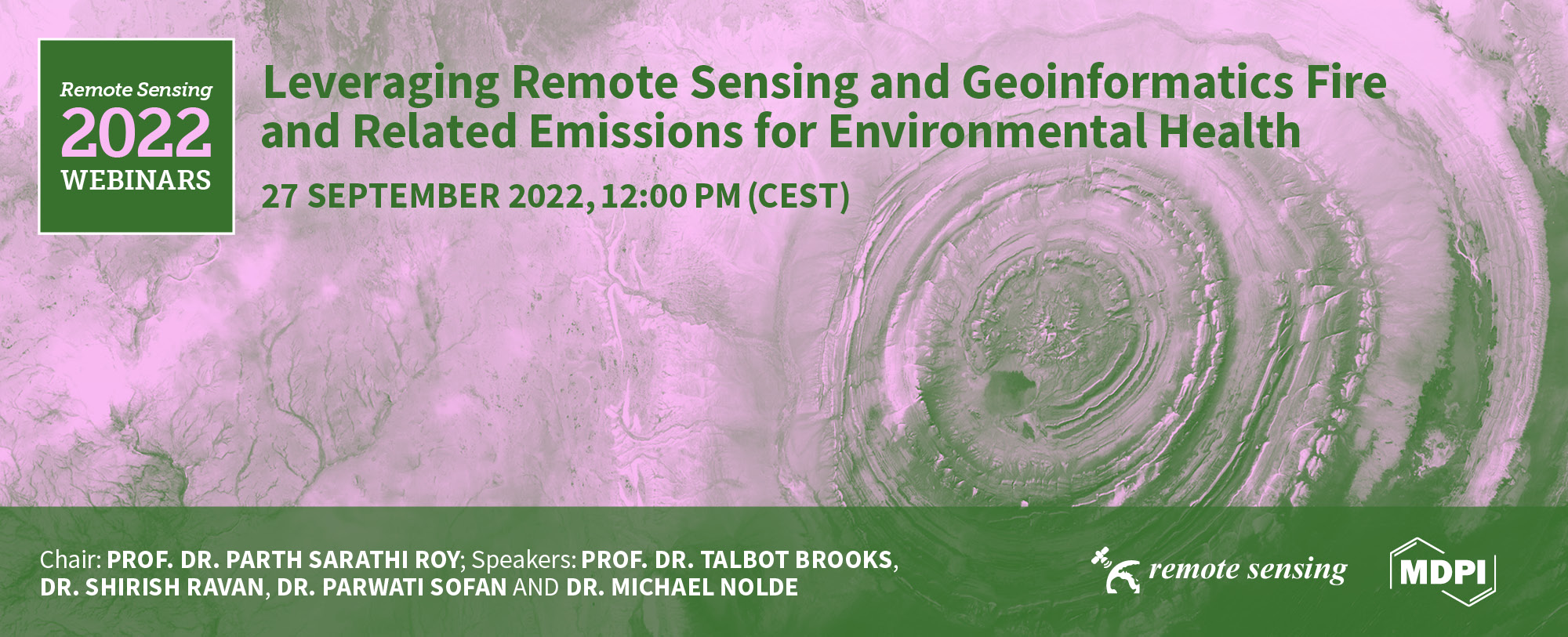
Remote Sensing Webinar | Leveraging Remote Sensing and Geoinformatics: Fire and Related Emissions for Environmental Health
Meet Our Speaker
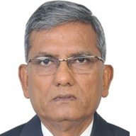
World Resources Institute India, New Delhi, Delhi, India;Parth Sarathi Roy is at WRI India as a Senior Fellow presently. He was Senior Advisor International Crops Research Institute for the Semi-arid Tropics (ICRISAT) during 2018-2020. Post superannuation in 2012 from Indian Institute of Remote Sensing (ISRO), he joined the Centre for Earth, Ocean and Atmospheric Sciences, University of Hyderabad as a Chair Professor during 2012-2018 and continues to be a Visiting Fellow staying true to his purpose of participating teaching and mentoring post graduate student. Dr. Roy is an Earth Observation and Spatial Ecology expert who has pioneered generation of information on natural resources and services using Earth Observation Systems for both India and global programs, inspiring many young scientists of this era. With a glorious career spanning over 45 years, Dr. Roy served the Indian Space Research Organization (ISRO) for 35 years and retired as the Director of Indian Institute of Remote Sensing and Director of Centre for Space Science and Technology Education in Asia and the Pacific (CESSTEP – United Nations). His contributions have been instrumental in shaping national policies in the field of forestry, biodiversity, conservation science and landscape ecology. Even with an extensive administrative career, his passion for academics and research led him to publish over ~400 research articles in prominent international journals. He has authored four books and guided 27 doctoral researchers. Dr. Roy was first recognized as a promising young scientist back in the year 1983 when he successfully led India’s first ever forest cover mapping and monitoring. From then on, there was no looking back – He initiated and led the National Natural Resource Census (NRC) during 2005-2011 that generated geospatial information on geomorphology, wetland, snow and glaciers, soil type, land degradation, forest cover and land use and land cover maps. […]

On Tuesday, 27 September 2022, MDPI and the journal Remote Sensing organized the first webinar in the Remote Sensing series titled “Leveraging Remote Sensing and Geoinformatics Fire and Related Emissions for Environmental Health”.
An introduction was given by the session Chair, Prof. Dr. Parth Sarathi Roy. Dr. Roy is an Earth Observation and Spatial Ecology expert who has pioneered generation of information on natural resources and services using Earth Observation Systems for both India and global programs, inspiring many young scientists of this era. With a glorious career spanning over 45 years, Dr. Roy served the Indian Space Research Organization (ISRO) for 35 years and retired as the Director of Indian Institute of Remote Sensing and Director of Centre for Space Science and Technology Education in Asia and the Pacific (CESSTEP – United Nations). His contributions have been instrumental in shaping national policies in the field of forestry, biodiversity, conservation science and landscape ecology. Even with an extensive administrative career, his passion for academics and research led him to publish over ~400 research articles in prominent international journals.
The first speaker to take to the stage was Prof. Dr. Talbot Brooks, of Delta State University, Cleveland, MS, USA. He is a Professor of the Practice and Director of The Geospatial Center at Delta State University. He also serves the Director of the UN-SPIDER North America Office. In addition to 24 years of experience in the GEOINT domain, Professor Brooks has 34 years of experience as an emergency responder and is the author of “GIS for Critical Infrastructure Protection”. His presentation was titled “Geospatial Tools for Emergency Service Risk Modelling”.
The second group of speakers were Dr. Shirish Ravan and Dr. Phil Green. They gave a joint presentation on “Space Technologies to Monitor Risks From Fire and Related Emissions, Issue Early Warning and Plan Rapid Response”.
The third presentation was given by Dr. Michael Nolde, of Department of Geo-Risks and Civil Security, German Aerospace Center (DLR), Germany. He is focussed on the analysis of wildfire events using satellite data. At his current position, he is concerned with the automated extraction of crisis-related information from satellite data. Specifically, he is responsible for a continental scale wildfire monitoring service, which provides burnt area information of ongoing wildfire events for the region of Europe in near real-time. His presentation was on the topic of the “German Remote Sensing Data Center (DLR)”.
Our final speaker for the session was Dr. Parwati Sofan, of the Research Center for Remote Sensing, National Research and Innovation Agency of Indonesia (BRIN), Indonesia. Her main research interest is on satellite remote sensing data applications for peatland/forest fires, drought/flood, volcano eruption and environments monitoring. She gave an interesting talk on “Tropical Peatland Fires Detection From Satellite Remote Sensing”.
A short Q+A session, moderated by the chair, followed each talk. The webinar was offered via Zoom and required registration to attend. The full recording can be found here on Sciforum website. In order to stay updated on the next webinars on Remote Sensing, be sure to sign up for our newsletter by clicking on “Subscribe” at the top of the page.
Guest Editors: Dr. Alfonso Fernández-Manso & Dr. Carmen Quintano
Deadline for manuscript submissions: 20 November 2022