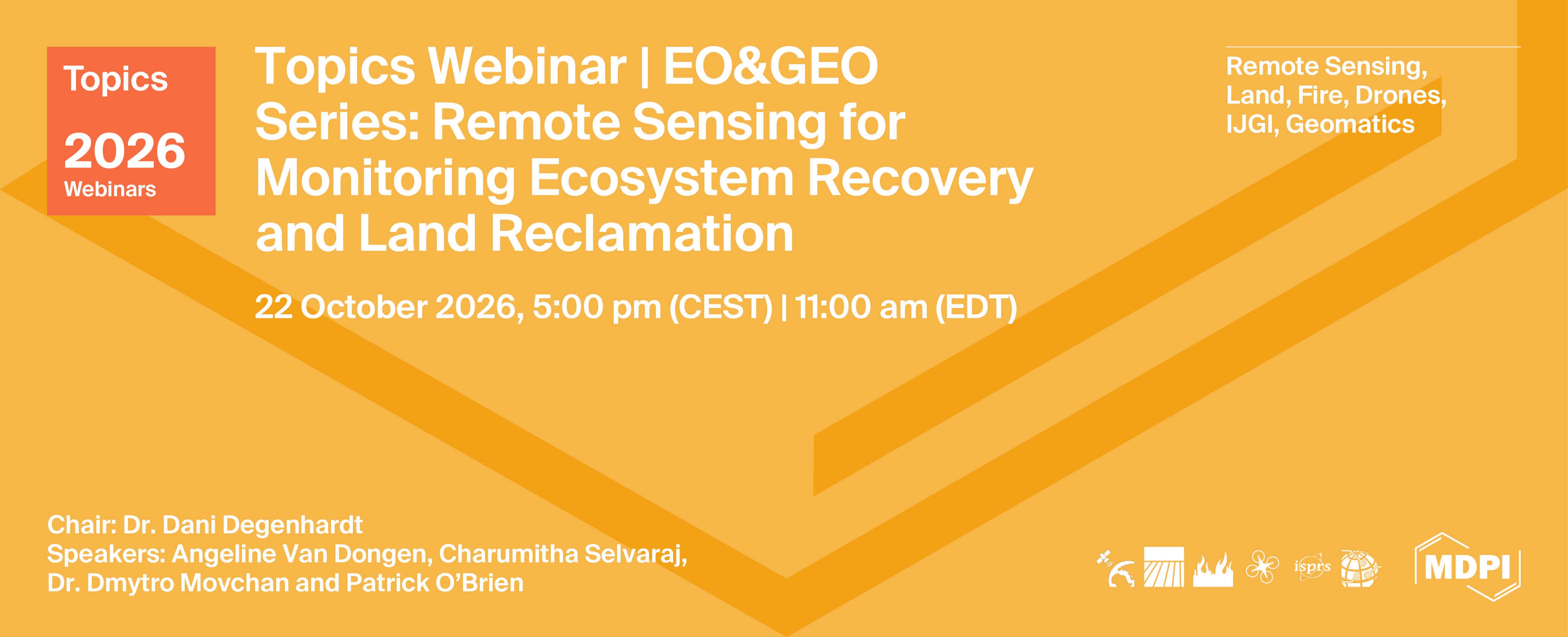
Topics Webinar | EO&GEO Series: Remote Sensing for Monitoring Ecosystem Recovery and Land Reclamation
the chair
Welcome to this Earth Observation & Geosciences (EOGEO) Webinar Series, hosted by Remote Sensing. Today's session focuses on Remote Sensing for Monitoring Ecosystem Recovery and Land Reclamation.
I'm Dr. Dani Degenhardt, a Research Scientist with the Canadian Forest Service at Natural Resources Canada, where I lead the Land Reclamation and Ecosystem Restoration Lab. Our research focuses on understanding how disturbed landscapes across Alberta's boreal forest recover following industrial development and on developing approaches to improve reclamation outcomes.
Monitoring ecosystem recovery is fundamental to this work. Assessing reclamation success requires measurements that are accurate, repeatable, and scalable. Advances in remote sensing, including UAV-based LiDAR, multispectral imaging, and deep learning, are transforming our ability to characterize vegetation, quantify ecosystem recovery, and monitor reclaimed landscapes with greater efficiency and detail than traditional field methods alone.
Today's speakers will highlight recent advances across this workflow, ranging from LiDAR-based individual tree detection and multisensor data integration to applications in wellsite assessment and ecosystem monitoring.
Date: 22 October 2026
Time: 11:00 am EDT | 5:00 pm CEST
Webinar ID: 882 4242 4298
Webinar Secretariat: journal.webinar@mdpi.com
Meet Our Chair

Natural Resources Canada;Dr. Dani Degenhardt is a research scientist at Natural Resources Canada and an adjunct professor in the Department of Renewable Resources at the University of Alberta. She leads a multidisciplinary research team developing reclamation techniques and technologies that accelerate the recovery of sustainable forest ecosystems following industrial disturbances.
This is a FREE webinar. After registering, you will receive a confirmation email containing information on how to join the webinar. Registrations with academic institutional email addresses will be prioritized.
Certificates of attendance will be delivered to those who attend the live webinar.
Can’t attend? Register anyway and we’ll let you know when the recording is available to watch.
Register here!
Meet Our Speakers

Natural Resources Canada;Charumitha Selvaraj holds a Bachelor of Science in Geomatics Engineering with a minor in Software Engineering from the University of Calgary. Her work focuses on transforming drone-acquired LiDAR and multispectral data to automate and enhance the assessment of forest recovery on reclaimed oil and gas well sites.
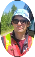
Natural Resources Canada ;Dr. Dmytro Movchan is a researcher at Natural Resources Canada whose work combines UAV-based multispectral and LiDAR data to characterize vegetation and track forest ecosystem recovery and land reclamation.
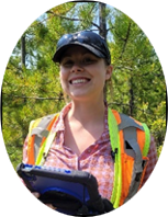
Natural Resources Canada ;Angeline Van Dongen is a reclamation technologist with Natural Resources Canada, working in the Ecosystem Restoration Lab led by Dr. Dani Degenhardt at the Northern Forestry Center in Edmonton. She holds a Bachelor of Applied Science from UBC and a diploma in Environmental Science from NAIT.
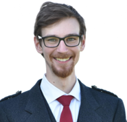
Mr. Patrick O'Brien
Natural Resources Canada;Department of Earth and Atmospheric Sciences, University of Alberta, ;Patrick O’Brien is a PhD candidate at the University of Alberta and works part-time with Natural Resources Canada. His Ph.D. research focuses on developing methods that use satellite remote sensing data to predict biodiversity metrics in both tropical and boreal forests, while his work with NRCan uses UAV-based imagery to understand forest dynamics. Patrick attended the University of Alberta for an M.Sc. in Physics and St. Francis Xavier University for his B.Sc. in Physics and Math.
|
Speaker/Presentation |
Time in CEST |
Time in EDT |
|
Chair Introduction Dr. Dani Degenhardt |
5:00 - 5:10 pm | 11:00 - 11:10 am |
|
LiDAR Point Cloud Processing for Individual Tree Detection Using the TreeAIBox Plugin Charumitha Selvaraj |
5:10 - 5:30 pm | 11:10 - 11:30 am |
|
Q&A |
5:30 - 5:40 pm | 11:30 - 11:40 pm |
|
Fusing UAV Multispectral and LiDAR for Reclamation Monitoring Dr. Dmytro Movchan |
5:40 - 6:00 pm |
11:40 - 12:00 pm |
|
Q&A |
6:00 - 6:10 pm |
12:00 - 12:10 pm |
|
Evaluating Field Sampling Design and LiDAR-Based Approaches for Woody Vegetation Assessment in Reclaimed Wellsite Certification Angeline Van Dongen |
6:10 - 6:30 pm | 12:10 - 12:30 pm |
|
Q&A |
6:30 - 6:40 pm | 12:30 - 12:40 pm |
|
Predicting Environmental DNA-Derived Soil Biodiversity in Restored Forests with Orbital Hyperspectral Data Patrick O'Brien |
6:40 - 7:00 pm | 12:40 - 1:00 pm |
|
Q&A |
7:00 - 7:10 pm | 1:00 - 1:10 pm |
|
Closing of Webinar Dr. Dani Degenhardt |
7:10 - 7:15 pm | 1:10 - 1:15 pm |
Remote Sensing for Monitoring Ecosystem Recovery and Land Reclamation
Edited by: Dr. Dani Degenhardt
Manuscript Submission Deadline: 15 February 2027