
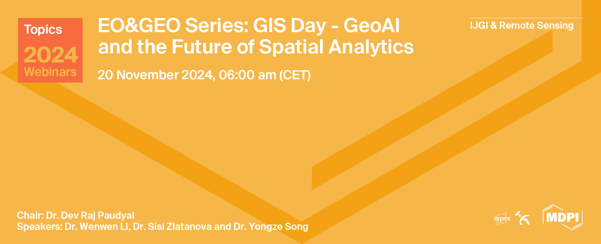
Topics Webinar | EO&GEO Series: GIS Day - GeoAI and the Future of Spatial Analytics
the chair
It is a great pleasure to welcome you to the special webinar to commemorate Geographic Information Systems (GIS) Day ((https://www.gisday.com/en-us/overview). The webinar is organized by the MDPI open-access journal ISPRS International Journal of Geo-Information to encourage scientists to raise awareness about the importance of geography and GIS technology.
GIS Day is a very special day to celebrate and enjoy all of the exciting GIS activities and projects that have been conducted and accomplished over the year. GIS Day provides an international forum for learners, scholars, and practitioners of geographic information science and technology to demonstrate real-world applications that are making a difference in our society.
The first formal GIS Day took place in 1999. Esri president and co-founder Jack Dangermond credits Ralph Nader with being the person who inspired the creation of GIS Day. Nader considered GIS Day a good initiative for people to learn about geography and the uses of GIS and wanted GIS Day to be a grassroots effort that was open to everyone.
The Webinar title this year is “GeoAI and the Future of Spatial Analytics”. We have invited three distinguished scholars to deliver presentations. Let’s celebrate GIS Day together.
Date: 20 November 2024 at 06.00 a.m. CET | 12:00 a.m. EST | 1:00 p.m. CST Asia
Webinar ID: 885 5794 5831
Webinar Secretariat: journal.webinar@mdpi.com
Meet Our Chair
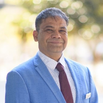
School of Surveying and Built Environment, University of Southern Queensland, Queensland, Australia;Dr. Dev Raj Paudyal has worked as a University Lecturer at the School of Surveying and Built Environment, University of Southern Queensland (UniSQ), Australia, since 2011. Dr Paudyal holds an M.Sc. in Geoinformation Management (with a specialisation in Land Administration) from ITC, the Netherlands, and a Ph.D. from the University of Southern Queensland (UniSQ), Australia. He worked as a Research Scholar at the Graduate School of Design, Harvard University (2015–2016). Dr Paudyal served as the President of the International Geospatial Society (2013–2015) and Co-Chair of the International Society for Photogrammetry and Remote Sensing (ISPRS)-WGIV/4: (Geospatial Data Infrastructure, 2012–2016). He has been working as Co-Chair of ISPRS-WGIV/4 (SDI: Internet of Things and Spatial Decision Support) and was a Board Director of the Global Spatial Data Infrastructure (GSDI) Association and a delegate of the GSDI Association Council. In addition to this, Dr Paudyal is a member of the International Society for Photogrammetry and Remote Sensing (ISPRS), a member of the International Global Navigation Satellite Systems (GNSS) group, a member of the Mixed Methods International Research Association (MMIRA), and a life member of the Nepal Photogrammetry and Remote Sensing Society. He is Associate Editor of ISPRS International Journal of Geo-Information (IJGI). Dr Paudyal has more than 25 years of professional and research experience, including 10 years of full-time industry experience in Nepal's Survey Department (National Mapping Agency) and 15 years of teaching and research experience in Australia, India, and Nepal. He has supervised twenty-five successful postgraduate and honours students and is currently supervising eight PhD students and five honours students. Dr Paudyal has also been consulted on SDI, application of geospatial information in disaster risk management, land administration, and spatial data management by the Ministry of Land Reform and Management, Kathmandu University, Tribhuwan University, Institute of Engineering, and the World Bank.
Meet Our Speakers
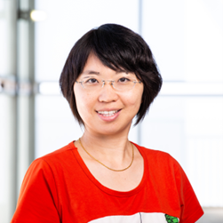
School of Geographical Sciences and Urban Planning, Arizona State University, USA;Dr. Wenwen Li is a Professor of Geospatial Data Science in the School of Geographical Sciences and Urban Planning at Arizona State University, where she directs the Cyberinfrastructure and Computational Intelligence (CICI) Lab and serves as the Research Director for the Spatial Analysis Research Center (SPARC). Her research interests include cyberinfrastructure, big data, geospatial artificial intelligence (GeoAI), and their applications in data- and computation-intensive environmental and social sciences.

GRID, School of Built Environment, University of New South Wales, Australia;Dr. Sisi Zlatanova is a SHARP Professor at the University of New South Wales (UNSW). Faculty of Arts, Design and Architecture, Head of the Geospatial Research, Innovation and Development (GRID) lab and an Adjunct professor at RMIT, Australia. Her research interests are in 3D modelling: integration of BIM and GIS, 3D Indoor modelling, 3D representations and 3D data management. She is actively involved in the activities of the OGC and ISO and leading the development of the OGC standard IndoorGML. She is the President of ISPRS TC IV ‘Spatial Information Science’ (2022-2026) and founder of 3DGeoIno, Gi4DM and Indoor3D. She is Editor of several journals and special issues, has more than 550 scientific publications and 23 books. She is listed in the Stanford World’s Top 2% Scientists. With a team of excellent researchers, she is advancing Spatial Digital Twins for monitoring and 3D analysis of urban environments.
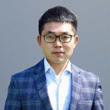
School of Design and the Built Environment, Curtin University, Australia;Dr. Yongze Song is a Senior Lecturer at Curtin University. Yongze is a Fellow of the Royal Geographical Society (UK), DAAD AInet (Germany), and the Spatial Data Lab (Harvard University, United States), an IEEE Senior Member, and a Committee Member of the International Association for Mathematical Geosciences (IAMG). Dr. Yongze leads the Geospatial Intelligence Lab and has developed more than 20 new geospatial models and 9 open-source software tools, with over 150,000 downloads worldwide, to advance the understanding of geospatial data and promote sustainable development. He has published over 80 peer-reviewed journal articles, including 8 highly cited papers. He has received more than ten international and national awards, including the Geospatial World 50 Rising Stars Award, the Global Top 10 Young Scientist Award, recognition as one of Stanford’s list of World’s Top 2% Scientists, and the Australian National Location Data First Prize. He is the Associate Editor of 5 international journals and an Editorial Board Member of 14 reputable international peer-reviewed journals. He has served as a Chair or Program Committee Member for more than 20 international conferences, including his role as the General Chair for the ISPRS TC IV Symposium (2024) and the City+ International Conference (2023). Yongze has been invited to present more than 70 research seminars in university and industry contexts worldwide, including lectures at Harvard University and talks at MIT and Yale University.



On Wednesday, 20 November 2024, MDPI’s ISPRS International Journal of Geo-Information (IJGI) and Remote Sensing journals organized a webinar entitled "GIS Day - GeoAI and the Future of Spatial Analytics".
This year marks the 25th anniversary of GIS Day, a remarkable milestone in the celebration of geospatial science and technology. To commemorate this occasion, a GIS Day webinar was organized by MDPI’s IJGI and Remote Sensing journals on November 20, 2024, as part of their EO & Geo Series. The theme of the webinar was GeoAI and the future of spatial analytics, highlighting the growing significance of artificial intelligence in geospatial research and applications.
The event drew over 100 registered participants, with approximately 60 attending the webinar live online from across the globe. At the start, Mr. Petar Jeremic welcomed the participants and provided a brief introduction to MDPI, detailing its history, current status, and two of its most prominent open access journals: The ISPRS International Journal of Geo-Information (IJGI) and Remote Sensing. He also outlined the program structure before handing over to Dr. Dev Raj Paudyal, a faculty member from the University of Southern Queensland, who served as the chair of the webinar. Dr. Paudyal provided a brief overview of the webinar’s purpose, elaborating on the significance of the GeoAI theme and the rationale for its selection this year. Furthermore, he introduced three keynote speakers and their respective topics. After the keynote presentations, a Q&A session was organized. Finally, Dr. Paudyal closed the webinar by summarizing the key points from the presentations. Throughout the session, the chat and Q&A box were monitored by Ms. Jing Wen Tan and Mr. Petar Jeremic, ensuring a smooth and interactive experience for all attendees.
The first speaker, Professor Wenwen Li from the School of Geographical Sciences and Urban Planning at Arizona State University, presented on the topic of “Reproducibility and Replicability of Geospatial Artificial Intelligence”, during which she discussed the the science of GeoAI. She introduced three forms of reproducibility (repeatability, reproducibility, and replicability) and explained their relevance to GeoAI. Among these, she highlighted that reproducibility is the most critical aspect for GeoAI research from both computational and spatial perspectives. She also stressed the importance of quantifying the degree of replicability as a key consideration for advancing GeoAI and broader spatial research.
The second speaker, Professor Sisi Zlatanova, head of the GRID Lab and current president of ISPRS TC IV Spatial Information Science, from the University of New South Wales (UNSW), Sydney, Australia, elucidated the power of voxel modeling for 3D spatial data integration and analysis, discussing her own research works. She concluded her presentation by discussing the future research scope in this area such as voxel management (octrees), semantics/attributes, variable resolution, voxel visualization, and parallel processing.
The third speaker, Dr. Yongze Song from Curtin University, Australia, focused on heterogeneity (spatial characteristics) in GeoAI, introducing his latest publications in this area. He started his presentation by addressing a central research question: Which method is the best for spatial prediction? Dr. Song compared and contrasted three models—statistical models, machine learning models, and spatial models—providing insights into their applicability and performance. He concluded his presentation by sharing recent studies conducted by his team, which contribute significantly to the development of geospatial theory and methodologies.
Following the presentations, a lively and insightful discussion ensued, during which the speakers provided additional perspectives, clarified queries, and addressed the critical challenges in GeoAI voxel modeling. Overall, the webinar was highly successful.
The webinar was hosted via Zoom and required prior registration to attend. The full recording can be accessed below. In order to learn about future webinars, you can sign up for our newsletter by clicking “Subscribe” at the top of the page.
Spatial Information for Improved Living Spaces
Guest Editors: Dr. Ivana Ivánová, Dr. Yongze Song and Prof. Dr. Sisi Zlatanova
Deadline for Manuscript Submissions: 25 October 2025
Problem-Driven Geospatial Data Acquisition, Tools and Applications in Earth Observation
Guest Editors: Dr. Artan Hysa, Dr. Pai-Hui Hsu and Dr. Yongze Song
Deadline for Manuscript Submissions: 30 April 2025
Self-Supervised Representation Learning for Geographical Data—A Systematic Literature Review
ISPRS Int. J. Geo-Inf. 2023, 12(2), 64; https://doi.org/10.3390/ijgi12020064
Understanding the Spatial–Temporal Patterns of Floating Islands Impacting the Major Dams of the White Nile
Remote Sens. 2023, 15(9), 2304; https://doi.org/10.3390/rs15092304