
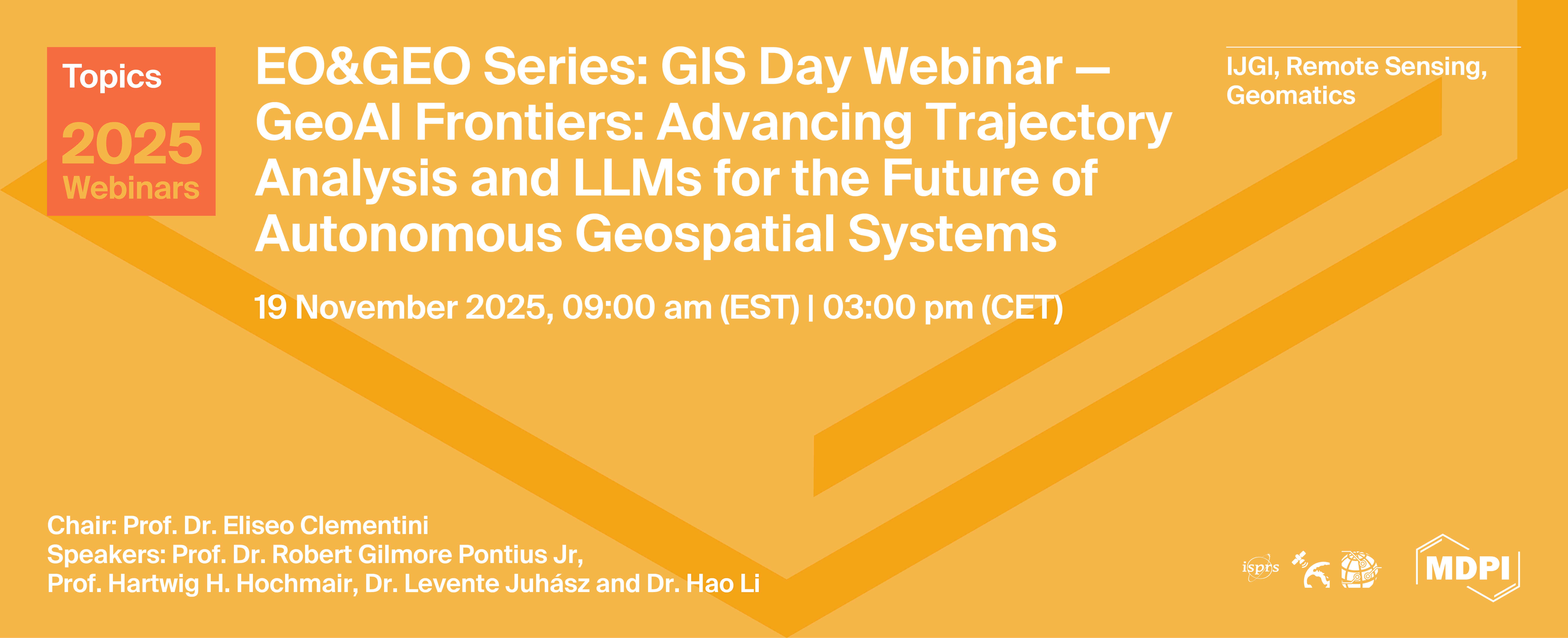
Topics Webinar | EO&GEO Series : GIS Day - GeoAI Frontiers: Advancing Trajectory Analysis and LLMs for the Future of Autonomous Geospatial Systems
the chair
Topics Webinar
EO&GEO Series: GIS Day - GeoAI Frontiers: Advancing Trajectory Analysis and LLMs for the Future of Autonomous Geospatial Systems
It is a great pleasure to welcome you to this special webinar to celebrate GIS Day. This webinar is organised by the ISPRS IJGI journal to raise awareness of the importance of geography and GIS technology.
In the 2025 edition, the webinar topic is GeoAI Frontiers – Trajectory Analysis, LLMs, and the Future of Autonomous Geospatial Systems, designed to explore both the foundational methodologies and the latest advancements shaping the field of Geospatial Information Science (GIScience).
Our objective is to provide attendees with a comprehensive view of critical techniques for analyzing spatial change (such as Trajectory Analysis), while simultaneously offering in-depth perspectives on the most transformative emerging technology: the integration of Generative AI and Large Language Models (LLMs) into geospatial workflows. The session will cover the impact of these technologies across key areas, including geospatial education, cloud-native solutions, and the strategic vision for creating Autonomous GIS platforms. Attendees will gain actionable insights into the evolution of analysis and data generation at the AI frontier.
Date: 19 November, 2025
Time: 3:00 p.m. CET | 9:00 a.m. EST
Webinar ID:828 0337 4217
Webinar Secretariat: journal.webinar@mdpi.com
Meet Our Chair

Department of Industrial and Information Engineering and Economics, University of L’Aquila, Italy;Prof. Dr. Eliseo Clementini is a Full Professor of Computer Science at the Department of Industrial and Information Engineering and Economics at the University of L'Aquila, Italy. His principal research interests lie in Geospatial Information Science (GIScience), focusing on the fundamental computational and cognitive aspects of modeling geographical space. A highly respected figure in the field, Professor Clementini is a co-developer of the influential DE-9IM model for topological relations, which is an international standard used in spatial databases (OGC and ISO TC 211). His expertise is critical in areas such as qualitative spatial reasoning, spatial databases, and the definition of geometric models for indoor and outdoor navigation systems. He serves as an Associate Editor for IJGI and is currently a Guest Editor for two key Special Issues: "Indoor Mobile Mapping and Location-Based Knowledge Services" in IJGI and "Large Language Models in Geographic Information" in Geographies.
Meet Our Speakers

School of Geography at Clark University in the United States of America;Dr. Robert Gilmore Pontius Jr, Gil for short, has been a Geography Professor since 1998 at Clark University in the USA. He creates quantitative methods that contribute to Geographic Information Science, Land Change Science, Remote Sensing, and Statistics. His work has generated more than twenty thousand citations. He is guest co-editor of a Special Issue in the journal Land concerning applications of Trajectory Analysis, which is a method to describe changes in the time series of maps. Trajectory Analysis is a new methodology, which has a package in the software R.
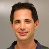
Geomatics Sciences, University of Florida, USA;Dr. Hartwig Hochmair is a Professor of Geomatics at the University of Florida, where he leads the Geomatics program at the Fort Lauderdale Research and Education Center (FLREC). His research explores geospatial data analysis with a focus on human mobility, volunteered geographic information (VGI), and the evolving role of GeoAI and AI-driven chatbots in geospatial research and education. He currently serves as an Associate Editor of the ISPRS International Journal of Geo-Information, overseeing submissions in Location-Based Services and Trajectory Analysis.

Department of Geography, National University of Singapore;Dr. Hao Li is a Lecturer in the Department of Geography at the National University of Singapore (NUS). Prior to this, he was a Senior Researcher at the Technical University of Munich (TUM). Dr. Li holds a Ph.D. in GIScience from Heidelberg University, an M.Sc. in Geomatics Engineering from the University of Stuttgart, and dual B.Sc. degrees in Geographical Information Systems and Computer Science from Wuhan University. His research interests include volunteered geographic information (VGI), GeoAI, spatial computing, and rapid disaster response. He is an active member of the GeoAI community and serves as a guest editor for the ISPRS International Journal of Geo-Information Special Issue on "Advances in AI-Driven Geospatial Analysis and Data Generation".

GIS Center, Florida International University, USA;Dr. Levente Juhász is a Research Associate Professor and the Assistant Director of GIScience at the GIS Center at Florida International University (FIU). He holds a Ph.D. in Geomatics Sciences from the University of Florida and an M.Sc. in Geoinformatics from the University of Szeged, Hungary. His research focuses on geospatial data science, GeoAI, and the integrity of volunteered geographic information (VGI). Among others, his recent work explores agentic AI for data security and the applications of Large Language Models in geospatial contexts. He is also interested in making cutting-edge geospatial technology more widely accessible across scientific disciplines and applications.





Today’s webinar highlighted how the intersection of trajectory analysis, large language models, and geospatial computation is establishing powerful new directions for research and practice. The work presented today demonstrates not only technical innovation but also the growing importance of responsible, accessible, and scalable geospatial AI.
The webinar was hosted on Zoom and required prior registration to attend. The full recording can be accessed below. In order to learn about future webinars, you can sign up for our newsletter by clicking “Subscribe” at the top of this page.
Advances in AI-Driven Geospatial Analysis and Data Generation (2nd Edition)
Edited by Dr. Levente Juhász, Prof. Dr. Hartwig H. Hochmair, and Dr. Hao Li
Deadline for submission: 31 December 2025
Indoor Mobile Mapping and Location-Based Knowledge Services
Edited by Prof. Dr. Eliseo Clementini and Dr. Zhiyong Zhou
Deadline for submission: 31 December 2025
LLM4GIS: Large Language Models for GIS
Edited by Prof. Dr. Huayi Wu and Prof. Dr. Zhipeng Gui
Deadline for submission: 31 August 2026
Edited by Prof. Dr. Robert Gilmore Pontius, Jr. and Dr. Thomas Mumuni Bilintoh
Deadline for submission: 31 May 2026