
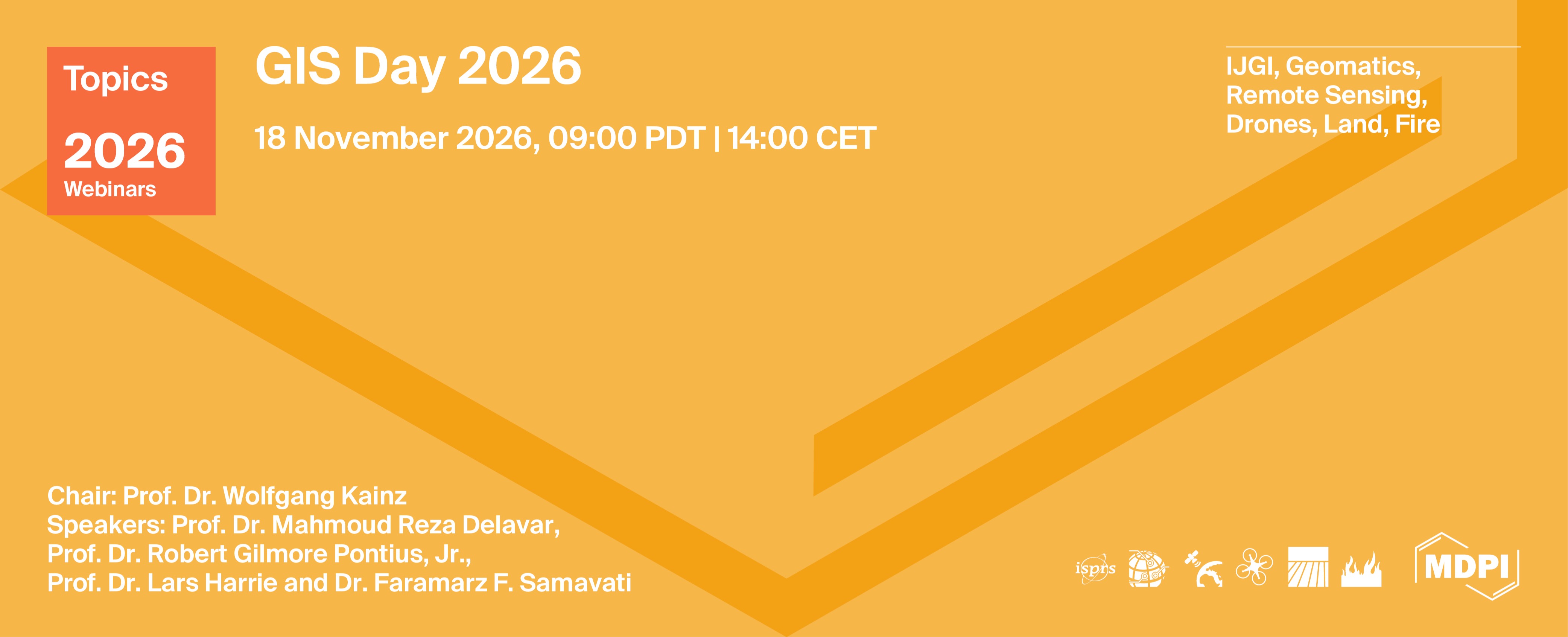
Topics Webinar | GIS Day 2026
the chair
Topics Webinar
GIS Day 2026
It is a great pleasure to welcome you to this special webinar to celebrate GIS Day. This webinar is organised by the ISPRS IJGI journal to raise awareness of the importance of geography and GIS technology.
Date & Time: November 18th, 2026, 12:00 EST | 18:00 CET
Zoom ID: 873 5819 2164
Webinar Secretariat: Journal.webinar@mdpi.com
Meet Our Chair

Cartography and Geographic Information Science, Department of Geography and Regional Research, University of Vienna, Universitätsstr. 7, A-1010 Vienna, Austria ;
This is a FREE webinar. After registering, you will receive a confirmation email containing information on how to join the webinar. Registrations with academic institutional email addresses will be prioritized.
Certificates of attendance will be delivered to those who attend the live webinar.
Can't attend? Register anyway, and we'll let you know when the recording is available to watch.
Register for free here!
Meet Our Speakers
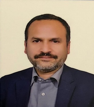
GIS Dept., School of Surveying and Geospatial Eng., College of Engineering, University of Tehran, Tehran, Iran;Short bio: Prof. Delavar is Director, Center of Excellence in Geomatic Eng. in Disaster Management and Director, Land Administration in Smart City Lab., School of Surveying and Geospatial Eng., College of Engineering, University of Tehran. His research interests are in spatial uncertainty modeling, temporal GIS, smart cities, land administration, cadaster, SDI, UBGIS, spatial data fusion, urban growth modeling and LULC modeling.

Affiliation: (Department, University, Country) School of Climate, Environment and Society, Clark University, Massachusetts, USA;Dr. Robert Gilmore Pontius Jr, Gil for short, has been a Geography Professor since 1998 at Clark University in the USA. He creates quantitative methods that contribute to Geographic Information Science, Land Change Science, Remote Sensing, and Statistics. His work has generated more than 21 thousand citations. He is guest co-editor of a special issue in the journal Land concerning applications of Trajectory Analysis, which is a method to describe changes in a time series of maps using free software in R and Python.
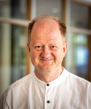
Affiliation: (Department, University, Country) Department of Earth and Environmental Sciences, Lund University, Lund, Sweden;Lars Harrie is professor in Geographic Information Science (GIS) at Lund University, Sweden. He is involved in research and teaching of technical and theoretical aspects of GIS. His main interests are algorithms for processing, analyzing and visualizing geographic data in both 2D and 3D as well as methods to improve the national spatial data infrastructure. He is also interested in applications of GIS and have performed spatial analysis research in e.g. urban planning, historical demography, epidemiology and hydrology. During recent years his research focus has mainly been 3D city models.
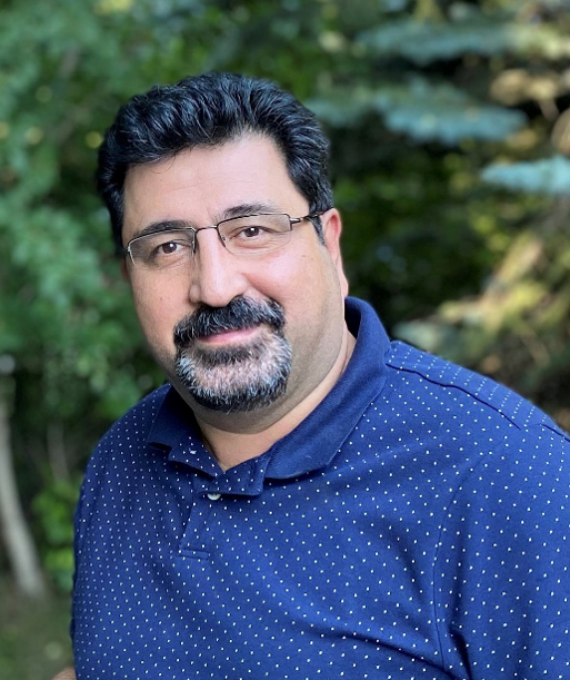
Department of Computer Science, University of Calgary, Calgary, Canada;Faramarz F. Samavati is a Professor in the Department of Computer Science at the University of Calgary. His research spans computer graphics, geoinformatics, and visualization, with a focus on Discrete Global Grid Systems (DGGS) and Digital Earth. He co-authored the Open Geospatial Consortium's DGGS Abstract Specification and has led pioneering research on grid-based Digital Earth frameworks for geospatial data management and analysis. His recent honours include two Canadian national awards: the 2026 Canadian Human-Computer Communications Society (CHCCS/SCDHM) Achievement Award and the 2025 Mitacs Innovation Award for Outstanding Research Leadership. He has served on the Editorial Board of the ISPRS International Journal of Geo-Information (IJGI) since 2019.
|
Speaker/Presentation |
Time in CEST |
|
Dr. Wolfgang Kainz (Chair) Chair Introduction |
6:00 - 6:10 pm |
|
Dr. Prof. Dr. Mahmoud Reza Delavar (Speaker 1)
|
6:10 - 6:30 pm |
|
Prof. Dr. Robert Gilmore Pontius, Jr. (Speaker 2) Quantity, Exchange, Shift and Trajectories (QUEST) accounting enlightens raster time series class transitions
|
6:30 - 6:50 pm |
|
Prof. Dr. Lars Harrie (Speaker 3)
|
6:50 – 7:10 pm |
|
Dr. Faramarz F. Samavati (Speaker 4)
|
7:10 – 7:30 pm |
|
Q&A |
7:30 - 7:50 pm |
|
Closing of Webinar Dr. Wolfgang Kainz (Chair) |
7:50 - 7:55 pm |






-6af344dfca0f5.png)