
Topics Webinar | EO&GEO Series: Leveraging Earth Observation for Assessing Climate Change Impact in the Arctic: Insights and Innovations from the EO-PERSIST Project
the chair
Permafrost plays a crucial role in the Earth's climate system, storing vast amounts of carbon and influencing ecosystems, infrastructure, and communities in Arctic and sub-Arctic regions. However, as the climate warms, permafrost has begun to thaw at an accelerated rate, creating significant environmental and socio-economic challenges. In this webinar, we will explore the critical role of Earth Observation (EO) technologies in monitoring and understanding permafrost changes. From satellite imagery to remote sensing techniques, EO provides valuable, real-time data that help researchers, policymakers, and stakeholders track permafrost dynamics, assess risks, and develop strategies for mitigation and adaptation. Join us to learn how cutting-edge EO innovations are advancing the science of permafrost monitoring and shaping the future of Arctic sustainability. To this end, key research findings will be presented from EO-PERSIST, an EU-funded project that aims to develop a cloud-based platform for mapping the socio-economic impacts of climate change in the Arctic regions.
Date: 04 March, 2025Time: : 4:00 p.m. CET | 10:00 a.m. EST | 11:00 p.m. CST
Webinar ID: 826 0289 7331
Webinar Secretariat: journal.webinar@mdpi.com
Meet Our Chair
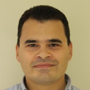
Department of Geography, Harokopio University, Athens, Greece.;Dr. George P. Petropoulos (PhD, King’s College London, UK) is an Assistant Professor in Geoinformatics within the Department of Geography, Harokopio University of Athens, Greece. His research focuses on the exploitation of technologically advanced EO sensors and synergistic multi-sensor EO modeling and GIS geospatial techniques to obtain spatiotemporal estimates of key state variables characterizing land surface processes. He is the author/co-author of, so far, over 110 peer reviewed journal articles and over 30 book chapters, and he is the editor/co-editor of six books published by both Elsevier and Taylor & Francis. He has developed fruitful collaborations with key scientists in his area of specialization globally, and his research and teaching work has received international recognition via several significant awards he has obtained. His research profile is available at the following link: https://scholar.google.co.uk/citations?user=Boe7HJcAAAAJ&hl=en
Meet Our Speakers

Faculty of Geography, University of Bucharest.;Ionuț Șandric is an Associated Professor within the Faculty of Geography, University of Bucharest. He is an experienced scientist with a demonstrated history of working in the computer software industry. He is a strong information technology professional skilled in GIS application, uncertainty analysis, spatial analysis, Earth observation, Python programming, and spatial modeling. His research is focused on the monitoring and modeling of natural hazards using artificial intelligence, drones, and satellite imagery.
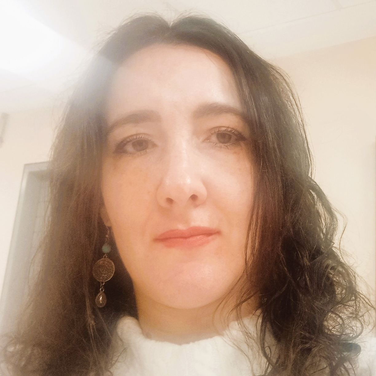
Department of Geography, Harokopio University, Athens, Greece.;Nikolina Myofa is a postdoctoral researcher. She holds a PhD in Social Urban Geography from Harokopio University. Her research thesis concerns the socio-spatial development of two Athenian neighborhoods with social housing estates, Dourgouti and Tavros. She has published papers in peer reviewed international scientific journals, conference proceedings, and scientific web pages. Her research focuses on the issues of housing, housing inequalities, segregation, housing policies, the study of socio-spatial developments in urban space, as well as thematic cartography.
Department of Geography, Harokopio University of Athens, Greece.;Spyridon E. Detsikas is a graduate of the Department of Geography of Harokopio University and a graduate of the Department of Natural Resource Utilization and Agricultural Engineering of the Agricultural University of Athens (Integrated Master). His research focuses on the use of geoinformatics and geospatial data analysis techniques in soil and environmental applications. Despite being in the early stage of his career, he has so far authored 10+ book chapters, 5+ articles in international journals and 15+ conference presentations. He has extensive experience in 5+ research projects funded by EU and national funding agencies from researcher and project management roles. Additional information about his research interests and outputs is available in his Google Scholar profile: https://scholar.google.com/citations?user=cc44asIAAAAJ&hl=en.
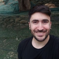
National Technical University of Athens, Remote Sensing Laboratory, Greece.;Kleanthis Karamvasis is a postdoctoral researcher at the Remote Sensing Laboratory of the National University of Athens. He has participated in several EU-funded research projects and has professional experience in both industry and academia. His expertise includes working with synthetic aperture radar (SAR) data for various applications, such as detecting land deformation in cultural heritage and Arctic regions, delineating flooded areas, and estimating soil moisture.
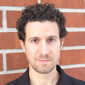
Research Scientist, Earth Observation Research, Finnish Meteorological Institute, Finland.;Juval Cohen received his D.Sc. (Tech) degree in Geoinformatics in 2020 from Aalto University, School of Engineering, Espoo, Finland. He is currently a research scientist in the Earth Observation Research unit of the Finnish Meteorological Institute. His main research field is the influence of boreal forest canopy on the remote sensing signal for SAR, optical, and passive microwave sensors. The emphasis of his research is on SAR applications, such as soil freeze/thaw detection and flood mapping in the boreal region. His tasks at FMI also include conducting quality assessments and evaluating new SAR satellite instruments, as well as the building of operational processing chains for remote sensing end-products utilizing different GIS software. During his work at FMI, he has developed satellite SAR-based operational products for the near-real-time monitoring of soil freeze/thaw state and floods.






Permafrost stores vast amounts of carbon, profoundly influencing Arctic ecosystems, infrastructure, and communities. As climate change accelerates permafrost thaw, significant environmental and socioeconomic challenges emerge. Earth observation (EO) technologies provide critical insights into permafrost dynamics by enabling the continuous monitoring, detailed mapping, and assessment of thaw-induced impacts. This webinar presented key findings from EO-PERSIST use cases, an EU-funded project, aiming to develop a cloud-based platform that leverages EO data to assess and map the socioeconomic impacts of climate change on Arctic regions.
The webinar was hosted via Zoom and required registration to attend. The full recording can be found below. In order to learn about future webinars, you can sign up to our newsletter by clicking “Subscribe” at the top of the page.
Environmental Monitoring Based on Remote Sensing, Earth Observation and Geoinformation
Edited by Dr. George P. Petropoulos, Prof. Dr. Daniela Silva-Fuzzo, Prof. Dr. Nikos Koutsias, and Prof. Dr. Yansong Bao
Deadline for submission: 29 July, 2025
Quantifying Soil Erosion Processes Using Satellite Data: Progress and Perspectives
Edited by Prof. Dr. Arjun Heimsath
Deadline for submission: 26 April 2025
Open-Source Geoinformation Software Tools in Environmental Modelling
Edited by Dr. George P. Petropoulos, Dr. Prashant Srivastava, and Prof. Dr. Daniela Silva-Fuzzo
Deadline for submission: 31 July 2025
Mission Design and Validation of a Fixed-Wing Unmanned Aerial Vehicle for Environmental Monitoring
Authors: Rufino, G.; Conte, C.; Basso, P.; Tirri, A.E.; Donato, V.
Drones 2024, 8, 641. https://doi.org/10.3390/drones8110641
Segment Anything Model Can Not Segment Anything: Assessing AI Foundation Model’s Generalizability in Permafrost Mapping
Authors: Li, W.; Hsu, C.-Y.; Wang, S.; Yang, Y.; Lee, H.; Liljedahl, A.; Witharana, C.; Yang, Y.; Rogers, B.M.; Arundel, S.T.; et al
Remote Sens. 2024, 16, 797. https://doi.org/10.3390/rs16050797
New Method for Hydraulic Characterization of Variably Saturated Zone in Peatland-Dominated Permafrost Mires
Authors: Lakshmiprasad, R.B.; Peth, S.; Woche, S.K.; Graf,Land 2024, 13, 1990. https://doi.org/10.3390/land13121990
Authors: Lahon, D.; Sahariah, D.; Debnath, J.; Nath, N.; Meraj, G.; Kumar, P.; Hashimoto, S.; Farooq, M.ISPRS Int. J. Geo-Inf. 2023, 12, 165. https://doi.org/10.3390/ijgi12040165