.jpg)
.jpg)
Topics Webinar | EO&GEO Series: Exploring GeoAI - Advances in Remote Sensing and Geospatial Analysis
the chair
EO&GEO Series: Exploring GeoAI - Advances in Remote Sensing and Geospatial Analysis
This webinar brings together leading experts to explore how artificial intelligence is transforming the way we observe, understand, and respond to environmental change. Under the broad umbrella of GeoAI, today’s talks highlight cutting-edge innovations in semantic interpretation of satellite imagery, the integration of citizen science and machine learning, and the development of accessible, open-source tools for geospatial analysis.
We are honored to feature two distinguished speakers: Dr. Xiao Huang will share his work on leveraging AI captioning and foundation models to extract deeper meaning from remote sensing data. Following that, Dr. Di Yang will present on the integration of citizen science and AI for enhancing Earth observation efforts at scale. I will close with an introduction to the GeoAI Python package—a user-friendly, open-source library designed to make AI-driven geospatial analysis more accessible to researchers and practitioners.
Thank you for joining us. We look forward to the exchange of ideas and insights during this session.
Date: 25 June, 2025
Time: 4:00 p.m. CEST | 10:00 a.m. EDT
Webinar ID: 895 4650 1334
Webinar Secretariat: journal.webinar@mdpi.com
Meet Our Chair
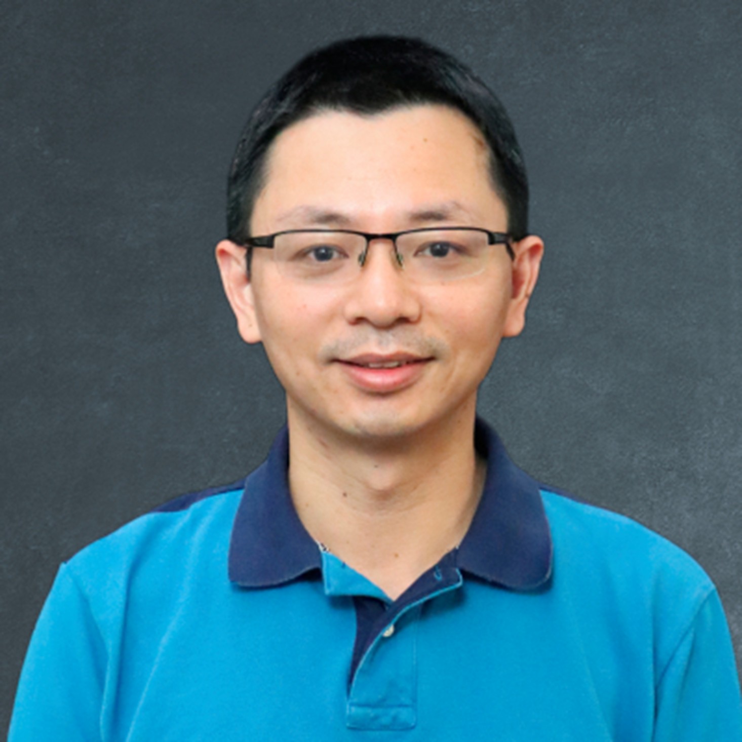
Department of Geography & Sustainability, The University of Tennessee, Knoxville, USA.;Dr. Qiusheng Wu is an Associate Professor and the Director of Graduate Studies in the Department of Geography & Sustainability at the University of Tennessee, Knoxville. He also serves as an Amazon Scholar. Dr. Wu’s research focuses on geospatial data science and open-source software development, with an emphasis on leveraging big geospatial data and cloud computing to study environmental changes, particularly surface water and wetland inundation dynamics. He is the creator of several widely used open-source Python packages, including geemap, leafmap, segment-geospatial, and geoai, which support advanced geospatial analysis and interactive visualization. His open-source work is available at https://github.com/opengeos
Meet Our Speakers
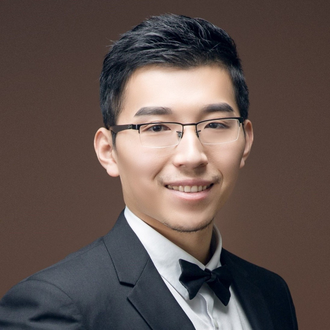
Department of Environmental Sciences, Emory University, USA;Dr. Xiao Huang is an Assistant Professor in the Department of Environmental Sciences at Emory University. His research expertise encompasses human–environment interaction, computational social sciences, urban informatics, disaster mapping and mitigation, GeoAI, and disaster remote sensing. Dr. Huang has contributed extensively to his field, with nearly 5000 Google Scholar citations, authoring over 220 peer-reviewed journal articles and over 20 book chapters, and playing a pivotal role in editing 5 books. He is among the World’s Top 2% Scientists in Stanford/Elsevier's rankings. In his professional capacity, he serves as an Associate Editor for Computational Urban Science and is a member of the Editorial Board for several prestigious journals, including Big Earth Data, International Journal of Digital Earth, Frontiers in Remote Sensing, Nature Scientific Reports, Journal of Remote Sensing, Current Social Sciences, and PLOS ONE. Dr. Huang's research has garnered significant attention and received coverage in renowned media outlets such as Nature News, NASA, NBC, and Fox. His work has attracted substantial funding from NSF, NASA, the Bill & Melinda Gates Foundation, the National Academies, and the Centers for Medicare and Medicaid Services. Furthermore, Dr. Huang is a respected reviewer for NASA and NSF grants and has reviewed manuscripts for over 55 international and national journals.
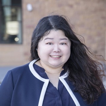
Department of Geography, University of Florida, USA;Dr. Di Yang is an Assistant Professor in the Department of Geography at the University of Florida. Her research expertise focuses on remote sensing applications in human–environment interactions, geospatial analytics, machine learning and GeoAI, citizen science, and land change science. Dr. Yang has established an extensive research portfolio, with numerous high-impact publications in prestigious journals. She currently serves as a science advisor for the NASA DEVELOP Program and holds editorial positions with Nature Scientific Reports. Dr. Yang has secured substantial research funding, including for forecasting mosquito-borne disease risk and evaluating land-use impacts on fire regimes. Her innovative integration of citizen science with Earth observation has been implemented in multiple projects, earning recognition through competitive awards, including the National Ecological Observatory Network (NEON) Ambassadors and Presidential Faculty Fellowship. Dr. Yang's collaborative research spans government agencies, academic institutions, and international partners, with substantial contributions to open science initiatives that enhance environmental monitoring capabilities through cloud computing frameworks and artificial intelligence applications.


Thank you to everyone who joined our GeoAI webinar! It was a great opportunity to explore cutting-edge research and tools in the field. Dr. Xiao Huang presented advanced AI models (e.g., GPT, CLIP, and RS-LLaVA) for the semantic interpretation of remote sensing imagery. Dr. Yang demonstrated how citizen science platforms (GLOBE, iNaturalist, and eBird) enhance satellite-based monitoring of the environment and public health. Dr. Qiusheng Wu introduced the open-source GeoAI Python package, offering tools for data access, visualization, model training, and analysis.
The webinar was hosted via Zoom and required registration to attend. The full recording can be found below. In order to learn about future webinars, you can sign up to our newsletter by clicking "Subscribe" at the top of the page.
Remote Sens. 2025, 17(11), 1856
Remote Sens. 2024, 16(18), 3411
Remote Sens. 2024, 16(5), 797
Remote Sens. 2025, 17(12), 2038
Towards Urban Digital Twins: A Workflow for Procedural Visualization Using Geospatial Data
Remote Sens. 2024, 16(11), 1939
"Geospatial Intelligence in Remote Sensing"
Edited by Dr. Samsung Lim and Dr. Badal Pokharel
Deadline for manuscript submissions: 30 June 2025
"Deep Learning Innovations in Remote Sensing"
Edited by Dr. Zhe Wang, Dr. Chao Fan, Dr. Sanaz Salati, Dr. Marshall (Xiaogang) Ma, Dr. Xiang Que, and Dr. Hui Wang
Deadline for manuscript submissions: 30 September 2025
"Geospatial Artificial Intelligence (GeoAI) in Remote Sensing"
Edited by Dr. Xian Sun, Dr. Wanxuan Lu, Dr. Lingqiao Liu, and Dr. Shucheng You
Deadline for manuscript submissions: 15 October 2025