The 6th International Electronic Conference on Remote Sensing
Global Perspectives for the Next-Generation in Earth Observation
Thank you all for your enthusiastic submissions. We are currently in the process of actively reviewing the abstracts.
Oral or poster presentation invitations are determined separately by the conference chairs, and you will receive an additional email with the presentation result.
Please click HERE to complete your free conference registration. The registration deadline is 13 October 2026.
the chair
- SAR Remote Sensing;
- Remote Sensing in Semi-Arid and Arid Areas;
- Remote Sensing in Tropical Areas;
- Remote Sensing in Urban Areas;
- Remote Sensing of the Environment;
- Remote Sensing for Cultural Heritage Protection;
- RSVQA—Remote Sensing Visual Question Answering.



Meet Our Chair

The State Key Laboratory of Information Engineering in Surveying, Mapping and Remote Sensing (LIESMARS), Wuhan University, Wuhan 430079, China;Timo Balz was born in Stuttgart, Germany. He received the Diploma degree (Dipl.-Geogr.) in geography and the Doctoral degree (Dr.-Ing.) in aerospace engineering and geodesy from the University Stuttgart, Stuttgart, in 2001 and 2007, respectively. From fall 2001 to the end of 2007, he was a Research Assistant with the Institute for Photogrammetry, University Stuttgart. Between 2004 and 2005, he was a Visiting Scholar with Wuhan University, Wuhan, China. From 2008-2010, he has been a Postdoctoral Research Fellow with the State Key Laboratory of Information Engineering in Surveying, Mapping and Remote Sensing (LIESMARS), Wuhan University. From 2010-2015 he was Associate Professor for Radar Remote Sensing with LIESMARS. Since 2015 he is Full Professor with LIESMARS. Since 2021, he is Vice-Director of the International Academy of GeoInformation, Wuhan University. He serves as Associate Editor for the IEEE Geoscience and Remote Sensing Magazine and MDPI’s Remote Sensing. He is member of the editorial board of Geo-Spatial Information Science and the Journal of Digital Earth. Since 2016 he is Chair of an ISPRS Commission I Working Group on SAR from 2016-2022 and again from 2022-2026. He has authored and co-authored more than 150 scientific articles in journals, books, and conference proceedings. Timo Balz’s research interests include surface motion estimation with SAR, data visualization, SAR geodesy, and the use of SAR data to support archaeological prospections.
Important Dates
24 Jul
2026
21 Aug
2026
13 Oct
2026
Meet Our Speakers
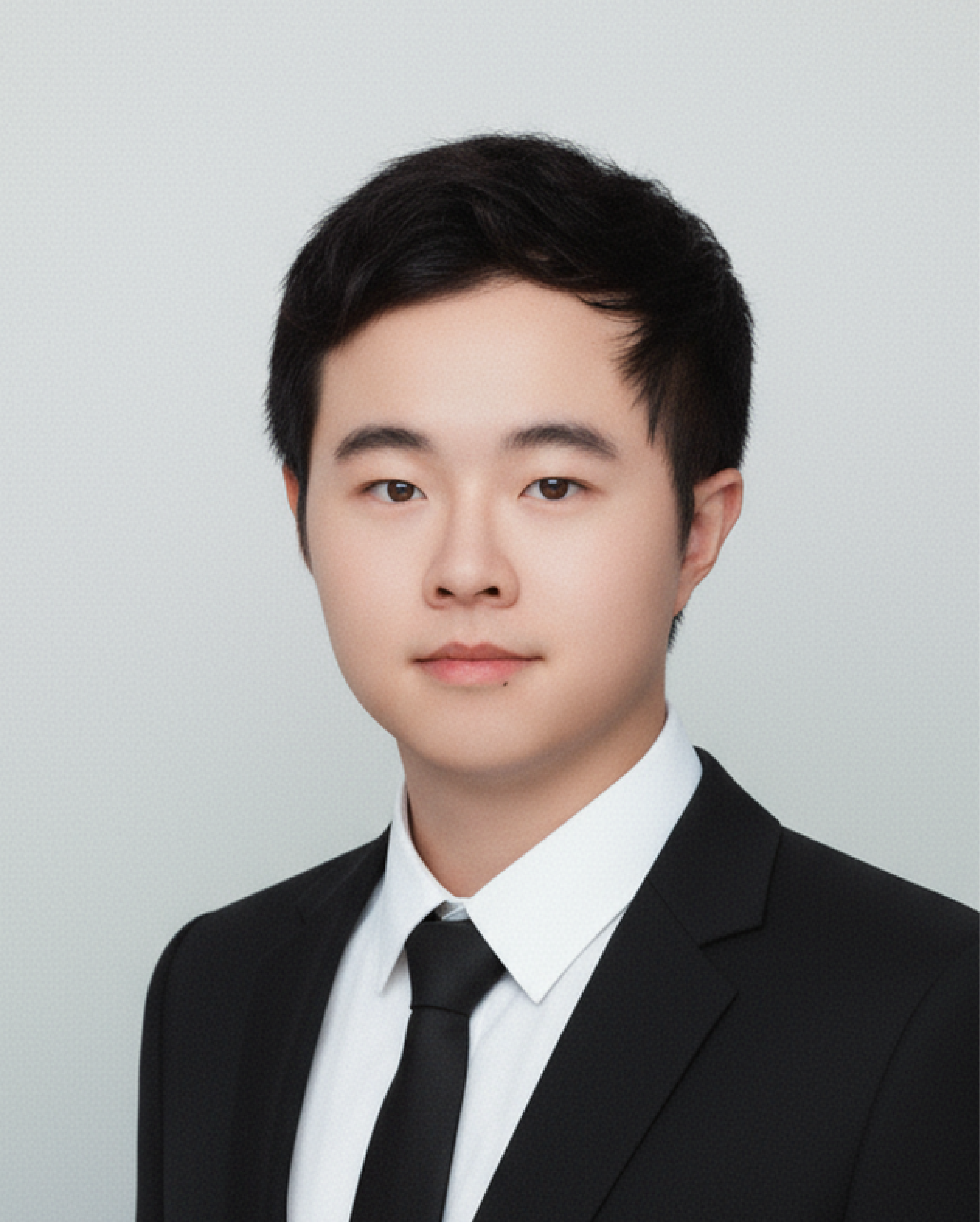
School of Geospatial Artificial Intelligence, East China Normal University, Shanghai, China;Yue Zhou is an Associate Professor at East China Normal University, China. He received his Ph.D. degree from Shanghai Jiao Tong University and was previously a Research Fellow at S-Lab, Nanyang Technological University, Singapore. His research focuses on remote sensing vision-language models, spatial intelligence, UAV-based agents, and oriented object detection. He has published around 40 papers in leading journals and conferences in remote sensing and computer vision. He is also a core developer and maintainer of MMRotate, an open-source toolbox for oriented object detection. His current research aims to advance remote sensing intelligence from conventional visual perception toward multimodal understanding, spatial reasoning, and autonomous intelligent agents.
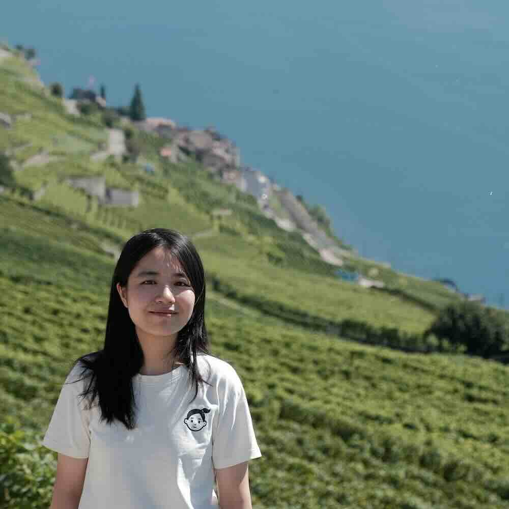
Dr. Li Mi
Swiss Federal Institute of Technology Zurich, Zurich, Switzerland;Li Mi is a postdoctoral researcher at ETH Zurich, working with Prof. Konrad Schindler. Before joining ETH Zurich, she received the Ph.D. degree in knowledge-aware geospatial multimodal learning from EPFL, advised by Prof. Devis Tuia and Prof. Antoine Bosselut. Her research focuses on developing multimodal learning methods that enable AI systems to reason about the world with geospatial awareness.
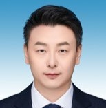
Hangzhou City University, Hangzhou, China;Professor Wei Ren is Deputy Director of the Research Administration Office at Hangzhou City University and Director of the Zhejiang Provincial International Science and Technology Cooperation Base for Artificial Intelligence and Cultural Heritage Protection. His research focuses on digital archaeology, artificial intelligence, multimodal heritage documentation, and intelligent interpretation. He leads the development of ChronoStyleNet, a multimodal model for chronological and stylistic analysis of Buddhist grotto sculptures, and works on AI-assisted archaeological drawing, museum curation, ceramic knowledge systems, and traditional pattern revitalization. He is a member of the ISDE Chinese National Committee and Vice Chair of its Digital Cultural Heritage Committee.
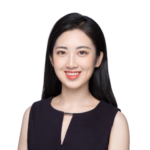
Dr. Weijia Li
Shenzhen International Graduate School, Tsinghua University, Shenzhen, China;Weijia Li is a Tenure-Track Associate Professor at Institute of Data and Information, Tsinghua Shenzhen International Graduate School, starting from 2026 Spring. Previously, She was an Associate Professor (2021-2026) at Sun Yat-sen University. She was a Post-doc Researcher (2019-2021) at MMLab, Department of Information Engineering, CUHK. She received Ph.D. (2014-2019) from Department of Earth System Science, Tsinghua University, and the Bachelor degree (2010-2014) from Department of Computer Science, Sun Yat-sen University. Her research interests include computer vision, deep learning, and their applications in urban remote sensing, with a recent focus on large multimodal models, generative models and AI agents. Prof. Li has published over 100 academic papers, including more than 40 as first or corresponding author in top-tier conferences (such as CVPR, ICCV, and NeurIPS) and journals (such as ISPRS P&RS and IEEE GRSM), with several papers designated as Oral presentations or Highlights. Her work has received over 6,000 citations on Google Scholar. She has served as PI for the General Program and Youth Program of the NSFC, as well as industry collaborative projects, and received honors including the Spatial Data Intelligence Rising Star Scholar Award.
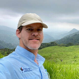
School of Forest, Fisheries, and Geomatics Sciences, University of Florida, Gainesville, FL, USA;Eben N. Broadbent is an Associate Professor of Forest Ecology and Geomatics in the School of Forest, Fisheries, and Geomatics Sciences at the University of Florida, where he co-founded and directs the Spatial Ecology and Conservation (SPEC) Lab. His research applies remote sensing across scales — from drone lidar and multispectral imaging through satellite radar, optical, and spaceborne lidar — to quantify forest structure, biomass, species composition, age, and disturbance. He has worked in tropical forests for over two decades, with research in Costa Rica, Peru, Brazil, and other countries. He leads the GatorEye Unmanned Flying Laboratory, which has flown in more than a dozen countries, and develops cloud-based analytical systems on Google Earth Engine, including FAROS (Forest Age Remote Observation System) for mapping stand age and regrowth trajectories, along with AlphaMap, StormCloud, GatorAI, and SoundMapper4D. He serves as Ecology Section Editor for the journal Drones.
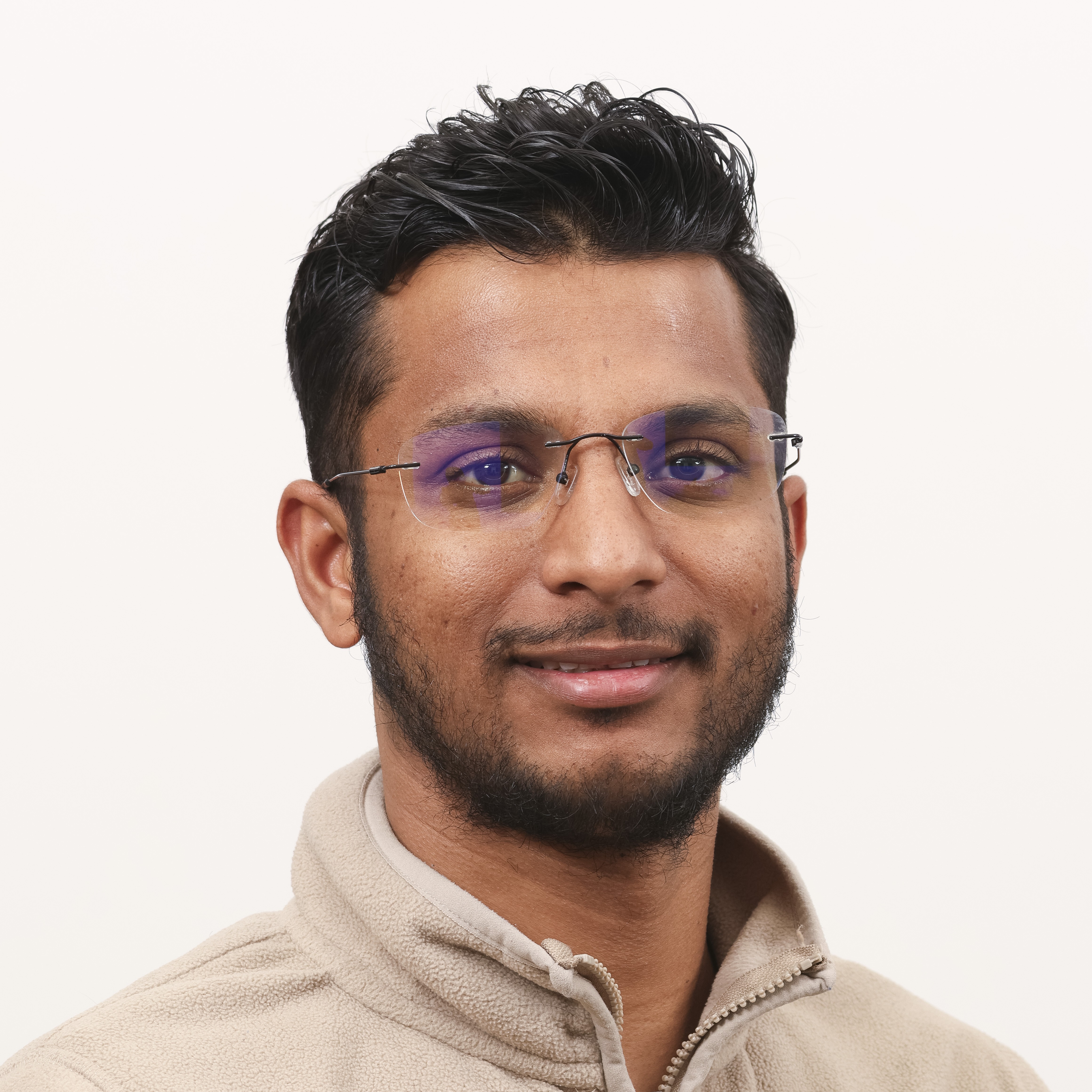
National Institute of Oceanography and Applied Geophysics – OGS, Geophysics Department, Trieste, Italy;Dr. Sansar Raj Meena is a researcher at the National Institute of Oceanography and Applied Geophysics – OGS, Italy. His research focuses on the application of remote sensing, geospatial analysis, and artificial intelligence to landslide detection, mapping, susceptibility assessment, and monitoring. His work has evolved from supervised machine-learning and deep-learning approaches using regional and event-based landslide inventories toward the development and exploitation of large-scale, multi-temporal Earth observation datasets. More recently, he has been investigating self-supervised representation learning and foundation-scale models trained on millions of very-high-resolution aerial-image patches for landslide segmentation. His research addresses key challenges including limited labelled data, class imbalance, spatial and temporal generalization, inventory uncertainty, and transferability across geographic regions. His broader objective is to develop scalable and transferable AI frameworks that connect advances in computer vision with operational applications in landslide hazard assessment and Earth observation.
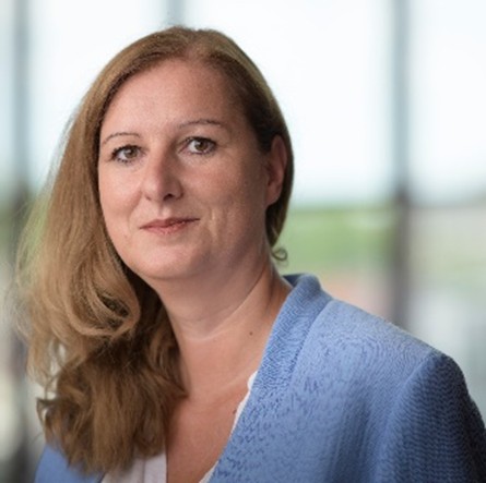
Faculty of Geo-Information Science and Earth Observation (ITC), University of Twente, The Netherlands;Monika Kuffer is working as a Professor at the Behavioural, Management and Social Sciences (BMS) as well as at the Faculty of Geo-Information Science and Earth Observation (ITC, University of Twente). "My research focuses on sustainable development (SDGs), in particular poverty (deprivation), living quality, and economic development in urban/rural environments using remote sensing, Geographic Information Systems (GIS), and AI-based methods. I co-chair an international network on deprivation area mapping IDEAMAPS and (co) lead several research projects on urban deprivation and environment, e.g., IDEAtlas, SPACE4ALL, IDEAMAPS Ecosystem, and ONEKANA. I am the project director of two NUFFIC-funded training grants (IDeAMapSudan - Capacity strengthening for gender-responsive and sustainable urban development and DATA4HUMANRIGHTS, Nigeria). I am a Steering Committee Member of the Joint Urban Remote Sensing Event (JURSE), the Dutch representative of the European Association of Remote Sensing Laboratories (EARSeL), SIG chair for Developing Countries, and a member of the Steering Committee: EO for Sustainable Cities and Communities Toolkit."
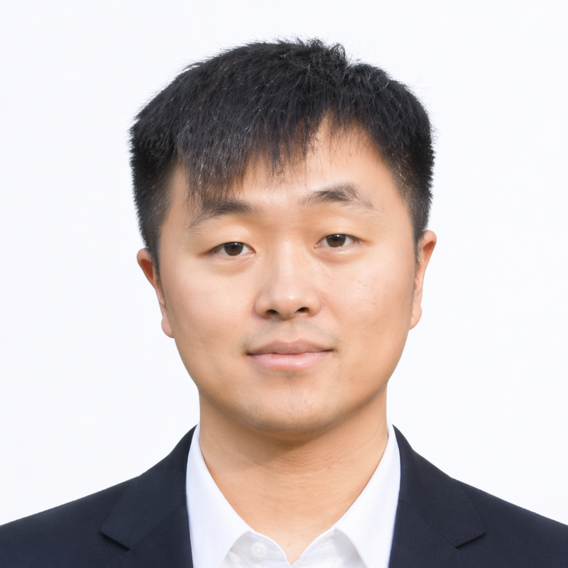
Northwestern Polytechnical University, Xi'an, China;Zhitong Xiong is a Professor at Northwestern Polytechnical University. His research interests include remote sensing foundation models, multimodal Earth observation intelligence, multispectral image analysis, and AI-assisted disaster monitoring. He has published more than 60 papers in leading journals and conferences, including IEEE T-PAMI, IEEE T-IP, IEEE T-GRS, CVPR, ICCV, ECCV, and AAAI. His work focuses on developing generalizable models for multi-source satellite, UAV, and ground-based observations, with applications to flood and wildfire monitoring, land-cover change analysis, and risk assessment.
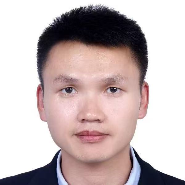
University of Exeter, Exeter, UK;Dr Tianjin Huang is a Lecturer in Computer Science at the University of Exeter and a member of the European Laboratory for Learning and Intelligent Systems (ELLIS). His research focuses on robust and efficient AI, including large language models, graph neural networks, and remote sensing. He regularly publishes at leading AI conferences, including ICML, NeurIPS, ICLR, etc.
Northeast Normal University, Changchun, China;Shan Lu received her Ph.D. degree in Bioenvironmental Engineering from The University of Tokyo, Japan, in 2007. Since 2016, she has been a Professor at the School of Geographical Sciences, Northeast Normal University, China. Her research interests encompass the modeling and analysis of multi-angular remote sensing, polarized remote sensing, hyperspectral remote sensing, and their applications. She has been granted three projects by the National Natural Science Foundation of China and two projects by the Department of Science and Technology of Jilin Province. To date, she has published over 40 peer-reviewed papers, the majority of which appear in leading international remote sensing journals, including Remote Sensing of Environment and IEEE Transactions on Geoscience and Remote Sensing.
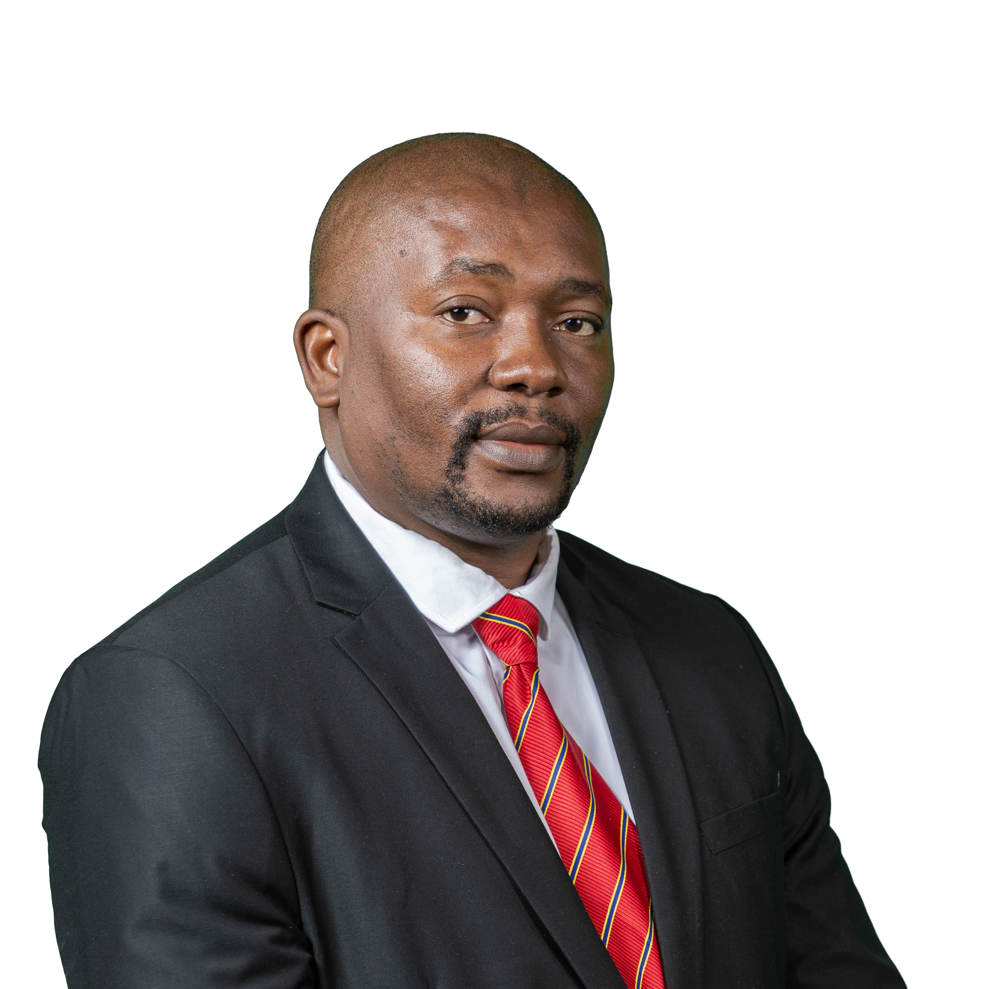
Tshwane University of Technology, Pretoria, South Africa;Dr James Magidi serves as a Senior Lecturer in the Department of Geomatics at Tshwane University of Technology, South Africa, and is recognised as an NRF-rated researcher. In this role, he contributes to teaching, research, postgraduate supervision, and the advancement of geospatial education within the institution. His professional and scholarly expertise includes geographic information systems, remote sensing, training, consultancy, and applied research. His work focuses on applying geospatial technologies to areas such as water resource management, biodiversity, climate change, agriculture, and related fields. He is particularly interested in the use of spatial data and earth observation techniques to support evidence-based decision-making, environmental monitoring, and sustainable development. Dr Magidi obtained his PhD from the University of the Witwatersrand in 2018. His doctoral research investigated urban dynamics using geospatial technologies. He has authored several scholarly papers and supervised students at various academic levels across different universities. His research reflects a strong commitment to interdisciplinary collaboration and the practical application of geomatics to address contemporary societal and environmental challenges.
Department of Computer Science, Sapienza University of Rome, Rome, Italy;Danilo Avola is an Associate Professor of Computer Science at Sapienza University of Rome, Italy, where he is co-founder and head of the Prometheus Laboratory. His research activities focus on artificial intelligence, computer vision, deep learning, multimodal learning, signal processing, and intelligent autonomous systems. His research interests include visual recognition and understanding, UAV-based perception and geo-localization, remote sensing image analysis, change and anomaly detection, human action recognition, person re-identification, and the development of advanced AI architectures for complex real-world scenarios. He has been involved in several national and international research activities and has authored numerous scientific publications in international journals and conference proceedings. He also contributes to the scientific community through editorial activities, conference organization, and peer review for international journals and conferences.

Geoinformatics Team, RIKEN Center for Advanced Intelligence Project (AIP), Tokyo, Japan;Junshi Xia is a Senior Research Scientist with the Geoinformatics Team at the RIKEN Center for Advanced Intelligence Project, Japan. He received Ph.D. degrees in photogrammetry and remote sensing from China University of Mining and Technology in 2013 and in image processing from Grenoble Institute of Technology, France, in 2014. Before joining RIKEN in 2018, he conducted research at Nanjing University, the University of Bordeaux, and the University of Tokyo. His research interests include machine learning and deep learning for remote sensing, multimodal data fusion, domain adaptation, and geospatial foundation models. His work spans high-resolution land-cover mapping, agricultural monitoring, and disaster assessment. He has contributed to the development of OpenEarthMap and related benchmarks for advancing global environmental monitoring. He is a Senior Member of IEEE.
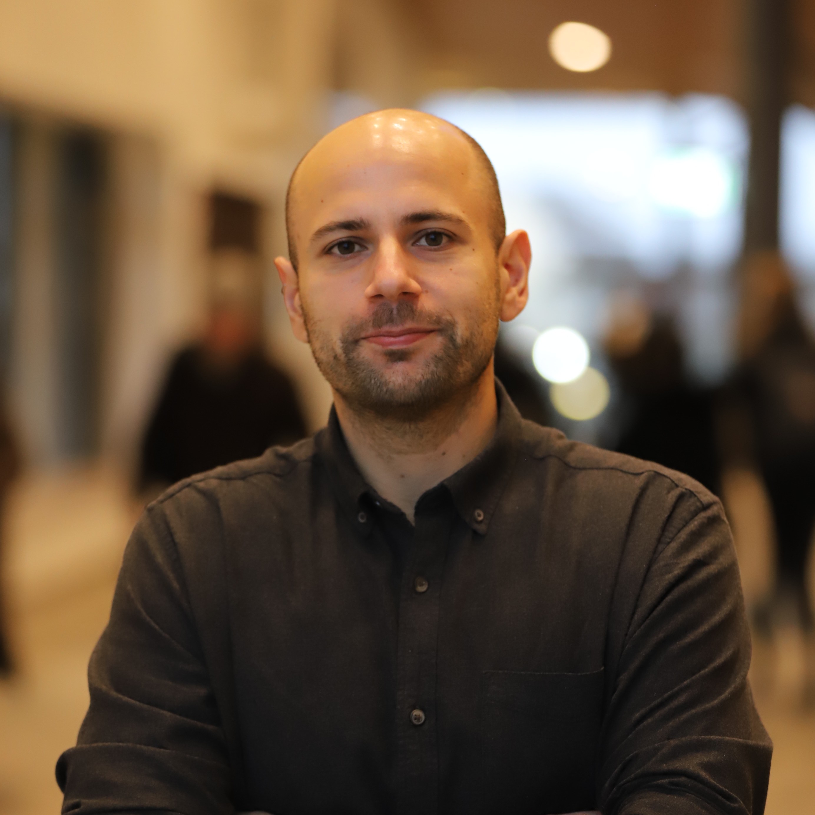
Karlstad University, Sweden (Geomatics, Department of Environmental and Life Sciences);Stefanos Georganos is Associate Professor (Docent) in Geomatics at Karlstad University, Sweden, a member of its Centre for Societal Risk Research, and affiliated with Université libre de Bruxelles. He works at the intersection of remote sensing, machine learning and urban geography. His research develops Earth observation methods to map populations, settlement patterns and urban deprivation where census and survey data are sparse or outdated, particularly in rapidly growing sub-Saharan African cities. He serves as the current President of the European Association of Remote Sensing Laboratories (EARSeL).
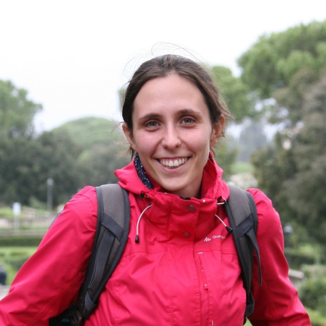
Department of Engineering "Enzo Ferrari", University of Modena and Reggio Emilia, Italy;Francesca Grassi received her Master’s Degree in Environmental Engineering in 2019 from the University of Modena and Reggio Emilia, where in 2023 she earned her Ph.D. in Industrial and Environmental Engineering "Enzo Ferrari" with a dissertation titled "Multi-temporal SAR interferometry for ground deformation and structural investigations". She is currently a postdoctoral fellow at the Geomatics Laboratory of the same University. Her research activity develops within the field of Geomatics, focusing on satellite radar interferometry for ground deformation, structural, and infrastructure monitoring. Her work also focuses on the integration of remote sensing data, spatial information, and BIM models for built environment management.










Connect with the Global Geomatics Community Online!
We are pleased to announce that the 1st International Online Conference on Geomatics (IOCGM 2027) will be held online from 17–18 March 2027 (CET).
Don’t miss this opportunity to showcase your latest research in the field of Geomatics!
The conference will provide a global platform for academic exchange and collaboration, fostering innovative solutions for emerging spatial challenges. Outstanding contributions will have the opportunity to receive the Best Oral Presentation Award and Best Poster Award, including certificates, cash prizes, and a full APC waiver for one accepted abstract published in the conference Special Issue.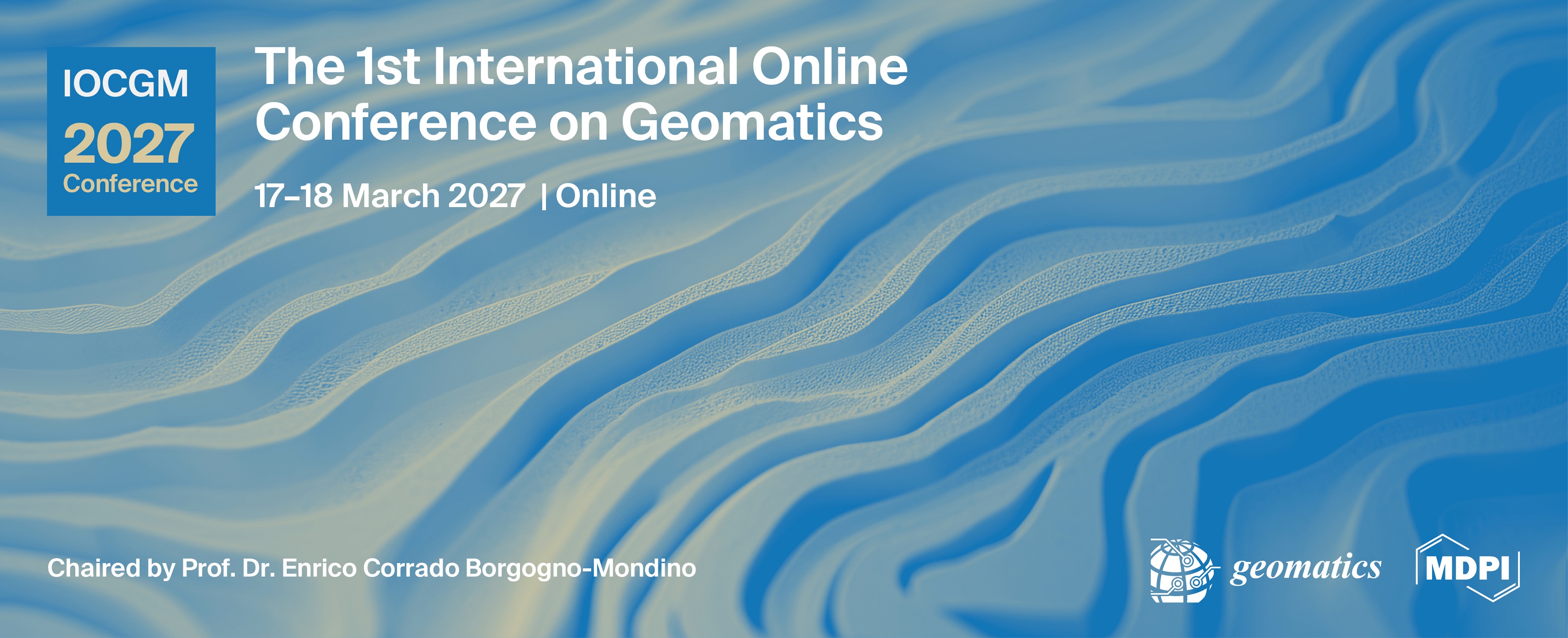
Ms. Ann Li
Ms. Luna Wang
Email: ecrs2026@mdpi.com
For inquiries regarding submissions and sponsorship opportunities, please feel free to contact us.