Sessions & Session Chairs
Sessions
S1. AI in Remote Sensing
S2. SAR Remote Sensing
S3. Remote Sensing in Semi-Arid and Arid Areas
S4. Remote Sensing in Tropical Areas
S5. Remote Sensing in Urban Areas
S6. Remote Sensing of the Environment
S7. Remote Sensing for Cultural Heritage Protection
S8. RSVQA - Remote Sensing Visual Question Answering
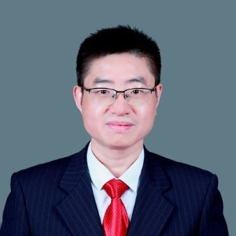
State Key Laboratory of Information Engineering in Surveying, Mapping and Remote Sensing, Wuhan University, China
Politecnico di Milano – Dept of Architecture, Built environment and Construction engineering (DABC), Italy
Marco Scaioni, Civil Engineering MSc Degree (Politecnico Milano, Italy, 1995), PhD on Geodetic and Mapping Sciences (Politecnico Milano, 1999). Full Professor of Geomatics at Politecnico Milano, Dept. of Architecture, Built Environment and Construction Engineering (ABC). Formerly, Full Professor in the College of Surveying and Geo-Informatics at Tongji University, Shanghai (2011-2014). Main research interests: Photogrammetry and Laser scanning from multiple platforms, Integration GIS/BIM for buildings and infrastructures, Geomatics for Geosciences and Cultural Heritage, Geodatabases for urban planning, Deep Learning classification of point clouds. Associate Editor of Applied Geomatics (Springer) and the ISPRS Journal of Photogrammetry and Remote Sensing (Elsevier). He published more than 350 scientific papers, including 70 papers on WoS-indexed journals (H-index: 29), 210 Scopus-indexed papers (H-index: 37) and two edited books.

Faculty of Science, University of Johannesburg, South Africa
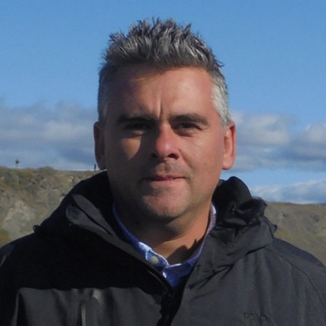
School of Rural and Surveying Engineering, The Aristotle University of Thessaloniki, GR-54124 Thessaloniki, Greece
Dr. Georgios Mallinis is a Professor in the School of Rural and Surveying Engineering at Aristotle University of Thessaloniki (AUTh), Greece. His research focuses on Remote Sensing and GIS applications for mapping and monitoring terrestrial ecosystems, with an emphasis on forest ecosystem mapping and land use/land cover (LULC), biodiversity assessment, and disaster management. He has published extensively in peer-reviewed journals, books, and international conference proceedings, and has coordinated or participated in more than 45 EU- and nationally funded research projects. He currently serves as Section Editor-in-Chief of Forests (Natural Hazards and Risk Management Section) and as a member of the Editorial Board of the journal Remote Sensing.
Department of Biological and Environmental Sciences and Technologies, University of Salento, Lecce, Italy
Riccardo Buccolieri is full professor of Atmospheric Physics at the University of Salento in the Micrometeorology Laboratory. His research, both experimental and modelling, deals with the study of the urban microclimate, flow and pollutant dispersion in urban areas. He is co-author of research papers in international journals, conference proceedings as well as book chapters.
Faculty of Geo-Information Science and Earth Observation (ITC), University of Twente, The Netherlands
Monika Kuffer is working as a Professor at the Behavioural, Management and Social Sciences (BMS) as well as at the Faculty of Geo-Information Science and Earth Observation (ITC, University of Twente). "My research focuses on sustainable development (SDGs), in particular poverty (deprivation), living quality, and economic development in urban/rural environments using remote sensing, Geographic Information Systems (GIS), and AI-based methods. I co-chair an international network on deprivation area mapping IDEAMAPS and (co) lead several research projects on urban deprivation and environment, e.g., IDEAtlas, SPACE4ALL, IDEAMAPS Ecosystem, and ONEKANA. I am the project director of two NUFFIC-funded training grants (IDeAMapSudan - Capacity strengthening for gender-responsive and sustainable urban development and DATA4HUMANRIGHTS, Nigeria). I am a Steering Committee Member of the Joint Urban Remote Sensing Event (JURSE), the Dutch representative of the European Association of Remote Sensing Laboratories (EARSeL), SIG chair for Developing Countries, and a member of the Steering Committee: EO for Sustainable Cities and Communities Toolkit."
Dept. of Earth & Environment, Boston University, Boston, MA 02215, USA
Dr. Magaly Koch is a Research Associate Professor at Boston University and a remote sensing geologist with more than 30 years of experience in applied environmental research, including groundwater resources (in drylands), land degradation problems (soil salinization), geohazards and human impact in environmental change. She is particularly interested in projects addressing global water scarcity/flooding problems as related to extreme weather conditions through an interdisciplinary approach. Her recent research work is on integrating earth and disaster science to enable sustainable adaptation and mitigation of coastal zones. She is co-author of the textbook Processing of Remotely-Sensed Images: An Introduction, Fifth Edition, with Paul M. Mather, published in 2022.
Renmin University of China, China
Dr. Yanbing Bai has been an Assistant Professor in the Department of Data Science and Big Data Analytics, School of Statistics, Renmin University of China, Beijing, since 2019. He specializes in satellite remote sensing and geospatial AI for disaster risk reduction. He received his Ph.D. from Tohoku University, Japan. He also served as a Visiting Researcher at the Donald Bren School of Information and Computer Sciences at the University of California, Irvine. His current research integrates Earth observation foundation models, multi-agent LLM systems, computer vision, and digital twins with multimodal geospatial big data—including UAV and satellite imagery, SAR data, human mobility data, and social media—to support disaster preparedness, emergency response, and post-disaster damage assessment. In recognition of his innovative research, he received a Microsoft AI for Earth award in 2017. Dr. Bai also contributes actively to the international disaster science community. He served as a committee member for the ISPRS 2025 workshop “Next-Gen Disaster Management: Multi-Modal Geospatial Data and AI for Resilient Communities”.
Aerospace Information Research Institute, Chinese Academy of Sciences, International Centre on Space Technologies for Natural and Cultural Heritage under the Auspices of UNESCO, China

School of Computer Science, University of Bristol, UK