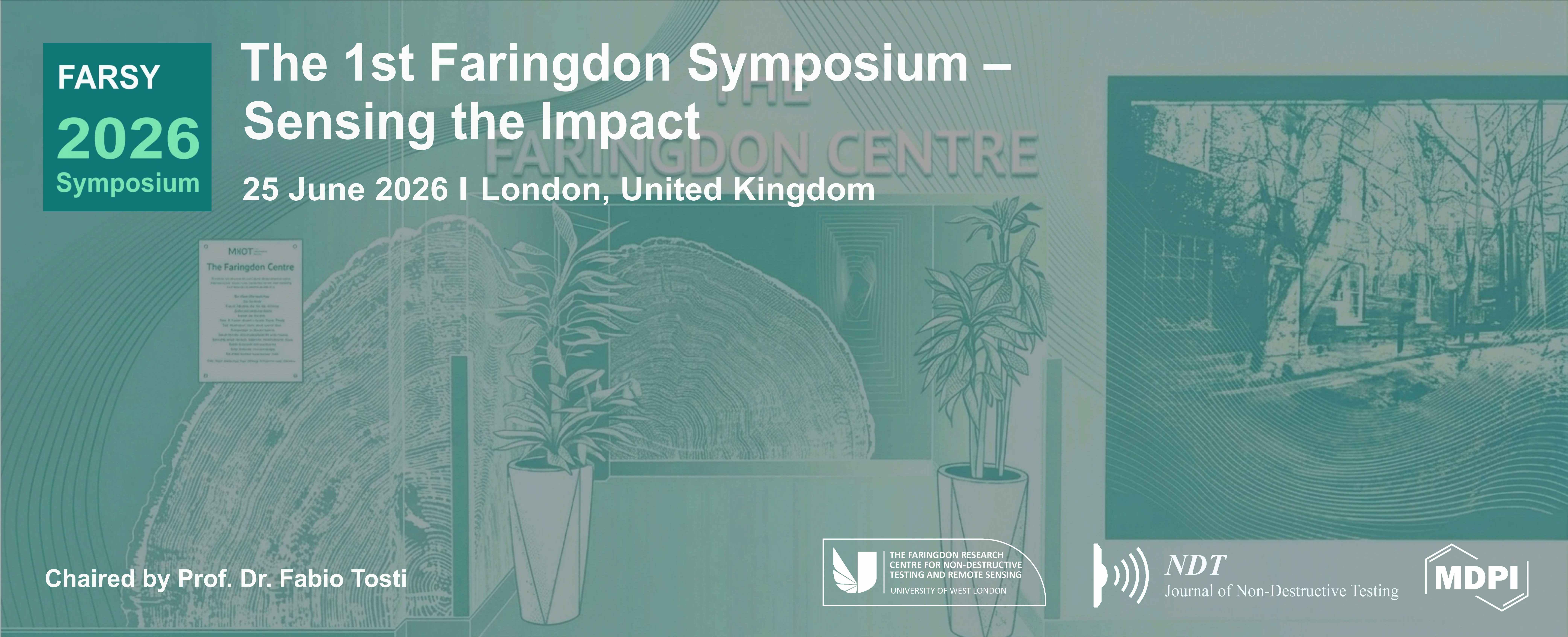
The 1st Faringdon Symposium
Sensing the Impact
the chair
Dear Colleagues,
On behalf of the Organising Committee, we are pleased to welcome you to The 1st Faringdon Symposium – Sensing the Impact (FARSY 2026), which will be held on June 25, 2026.
This symposium serves as an open forum for the exchange of ideas and the presentation of research findings across the diverse fields of sensing, computing, and engineering. The event is proudly hosted by The Faringdon Research Centre for Non-Destructive Testing and Remote Sensing, providing a platform for researchers, practitioners, and participants to engage in peer-to-peer learning and foster collaborations within an evolving scientific landscape.
The work presented here integrates the rigour of core sciences, including Non-Destructive Testing (NDT), Remote Sensing, and Immersive Technologies, with their practical applications. Through community engagement and a consistent dialogue with external stakeholders, we seek to investigate how high-level technical findings can be effectively utilised to address contemporary challenges and deliver meaningful impact.
We anticipate stimulating discussions on a range of topics, including, but not limited, to the following:
S1. Immersive Technologies & Community Engagement: Enhancing data communication through digital interfaces and interactive frameworks.
S2. Sustainability & Climate-Adaptive Infrastructure: Utilising observation technologies and nature-based strategies for environmental resilience.
S3. Integrated Sensing for Built Assets & Infrastructure: Advancing the diagnostic monitoring of critical assets through multi-modal and integrated systems.
S4. Sensing for Heritage & Environmental Risk: Assessing vulnerabilities to ensure the long-term preservation of cultural and natural sites.
We look forward to an engaging day of scientific discourse, concluding with a ceremony to recognise outstanding contributions to the field.
Sincerely,
Prof. Dr. Fabio Tosti
On behalf of: The 1st Faringdon Symposium Event Committee
Meet Our Chair
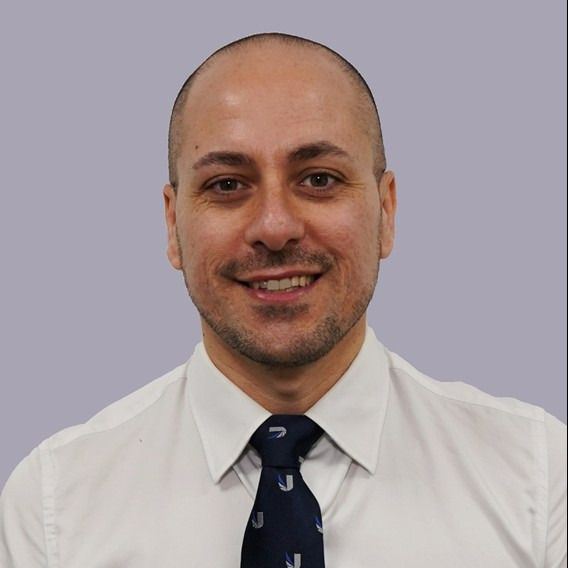
School of Computing and Engineering, University of West London, UK;The Faringdon Research Centre for Non-Destructive Testing and Remote Sensing, University of West London, UK;Prof. Dr. Fabio Tosti is a Professor of Civil Engineering at the University of West London (UWL) and Director of "The Faringdon Research Centre for Non-Destructive Testing and Remote Sensing." He received his M.Sc. and Ph.D. (European Doctorate Label) from Roma Tre University, Italy. A registered Chartered Engineer, his research focuses on non-destructive testing (NDT), satellite remote sensing, and geoscience applications for civil infrastructure, green assets, and heritage conservation. With over 260 publications, Prof. Tosti has received numerous accolades, including the 2017 ECSs Award from the European Geosciences Union (EGU) and Best Paper Awards at conferences such as GIRST 2023, AGERS 2021, and TSP 2020. He has held major leadership roles, serving as General Chair for ICARS 2025 and the International Workshop on Signal Processing Techniques for Ground Penetrating Radar (GPR) Applications (2020–2024). He is the Founding Editor-in-Chief of NDT–Journal of Non-Destructive Testing and an Associate Editor for Remote Sensing, Frontiers in Remote Sensing, and Geoscientific Instrumentation, Methods and Data Systems (GI). He is currently the Deputy President (President-Elect, 2027–2029) of the EGU’s GI Division and serves as an expert evaluator for the European Commission’s Horizon programs.
Important Dates
15 May
2026
5 Jun
2026
19 Jun
2026

| Registration | |||
| 08:30 | 09:00 | ||
| Event Opening | |||
| 09:00 | 09:15 | Fabio Tosti & Phil Cox | Opening Remarks |
| Oral Session: S1. Sustainability & Climate-Adaptive Infrastructure | |||
| 09:15 | 09:40 | Siu Fa Ng Invited Talk |
Beyond Academic Research: Expanding Research Impacts Through Real-World Research Deployment, Scale-up and Broaden Impacts |
| 09:40 | 09:55 | Suman Kumari | Wetland Dynamics and Spatial Gradients of Urban Influence in the Heathrow Airport Region Using Earth Observation Data |
| 09:55 | 10:10 | Reza Keihani | Integrated GPR and Photogrammetry for Early Corrosion Sensing in Sustainable Concrete Infrastructure |
| 10:10 | 10:25 | Javed Afzal Mohammad | A Systems Thinking Approach to Project Sustainability |
| 10:25 | 10:40 | Livia Lantini | Operationalising GPR Evidence for Urban Tree and Infrastructure Management |
| 10:40 | 11:05 | Morning Coffee Break | |
| Oral Session: S2. Integrated Sensing for Built Assets & Infrastructure | |||
| 11:05 | 11:30 | Adam Uqlat Invited Talk |
Railway Asset Management and Condition Assessment of HARP Units in Live Operational Environments |
| 11:30 | 11:45 | Saeed Parnow | High-Resolution Subsurface Mapping of Heathrow Airport Taxiways via Multi-Channel and Multi-Frequency Ground Penetrating Radar |
| 11:45 | 12:00 | Francesco Mercogliano | Towards the Development of an Integrated Multiplatform Electromagnetic Sensing System for Environmental Diagnostics |
| 12:00 | 12:15 | Tesfaye Tessema | Integrated Multi-Modal Remote Sensing for Airport Infrastructure Monitoring |
| 12:15 | 12:30 | Giorgia Sanvitale | Assessing Flexible Pavement Conditions through Multispectral Satellite Remote Sensing |
| Poster Session & Lunch Buffet | |||
|
12:30 |
13:30 |
Samiah Qamar | From Treatment to Carbon Storage: The Climate Case for Biochar-Amended Constructed Wetlands |
| Elikem Doe Atsakpo | Integrating Dense Spatial Remote Sensing Data into an Interactive and Immersive Extended Reality Application: Supporting Airfield Pavement Data Visualisation and Interpretation | ||
| Suman Kumari | Developing a Web-based Geospatial Database to Support Environmental Regeneration in Brent River Park, London, United Kingdom | ||
| Bibek Gautam | Evaluating Temporal Sequence Modelling for InSAR-Based Volcanic Unrest Detection | ||
| Ashim Tamang | Patch-Based CNN Classification of Urban Land Cover Using Sentinel-2 Imagery | ||
| Mausam Rajbanshi | Spatio-Temporal Deep Learning Framework for Airport Runway Deformation Forecasting Using InSAR Coherence Image Time-Series | ||
| Saeed Parnow | Integrated LiDAR and GPR Investigation of Historic Masonry Structures at Reculver Towers and Roman Fort, Kent | ||
| Omar Abdillahi | Remote Sensing for Multi-Hazard Climate Risk Assessment of Critical Infrastructure Resilience | ||
| Moein Motavallizadeh Naeini | Reading Environmental and Ground-Motion Signatures of Medieval Ruins from Space: A Multi-Sensor Screening Approach | ||
| Mohammad Kargar | A Proposed Digital Twin Framework for Wetland Ecosystem Management: System Architecture and Conceptual Data-Flow Design | ||
| Delphina Darko | Digitalisation of Civil and Environmental Assets monitoring: An Immersive XR System Integrating Advanced Remote Sensing and Multi-Modal Non-Destructive Testing Data | ||
| Keynote Talk | |||
| 13:30 | 13:55 | Francesco Soldovieri | The Role of Structural Health Monitoring in Facing Social and Economic Challenges for Critical Infrastructures |
| Oral Session: S3. Sensing for Heritage & Environmental Risk | |||
| 13:55 | 14:10 | Moein Motavallizadeh Naeini | Multi-Resolution Satellite Monitoring of Climate Vulnerability at Reculver Towers and Roman Fort: Integrating Open-Access Earth Observation and PlanetScope Imagery for Coastal Heritage Risk Assessment |
| 14:10 | 14:25 | Eugenio Donati | The Importance of Acoustics in Archaeological Investigation |
| 14:25 | 14:40 | Efcharis (Haroula) Balodimou | Environmental Drivers of Collapse in Historic Masonry Ruins: Methodological Framework and Main Insights drawn from a Systematic Literature Review |
| 14:40 | 14:55 | Alessia Francesca Napoli | GPR Investigation for the Non-Invasive Diagnosis of Giotto’s Mural Paintings in the Bardi Chapel in Florence |
| 14:55 | 15:20 | Afternoon Coffee Break | |
| Oral Session: S4. Immersive Technologies & Community Engagement | |||
| 15:20 | 15:35 | Elikem Doe Atsakpo | Stakeholder-Centric Evaluation of Multi-Modal Geophysical Data Visualisation in Extended Reality: Insights and Design Implications |
| 15:35 | 15:50 | Atiyeh Ardakanian | Water, Mobility, and Equity: An Anthropologically Informed Satellite Monitoring Approach to Ephemeral Surface Water and Pastoral Livelihoods in Arid and Semi-arid East Africa |
| 15:50 | 16:05 | Parisa Saadati | Co-Designing a Place-Based Augmented Reality Framework for Community Engagement with Urban Trees and Biodiversity |
| 16:05 | 16:20 | Julia Tomaszewska | Interpretable Statistical and Spectral Analysis of Audio and Electroglottographic Signals for Laryngeal Pathology Differentiation |
| 16:20 | 16:35 | Mohammad Kargar | A Proposed Framework for Immersive Subsurface Inspection of Tree Trunks: Spatially Coregistering LiDAR and Ground Penetrating Radar Data in Virtual Reality |
| 16:35 | 16:50 | Fabio Tosti | The Faringdon Nexus: Supporting Research Communities and Academic Mentorship |
| Awards & Symposium Closing | |||
| 16:50 | 17:00 | Awards Committee | |
For inquiries regarding attendance and registrations, please feel free to contact us.