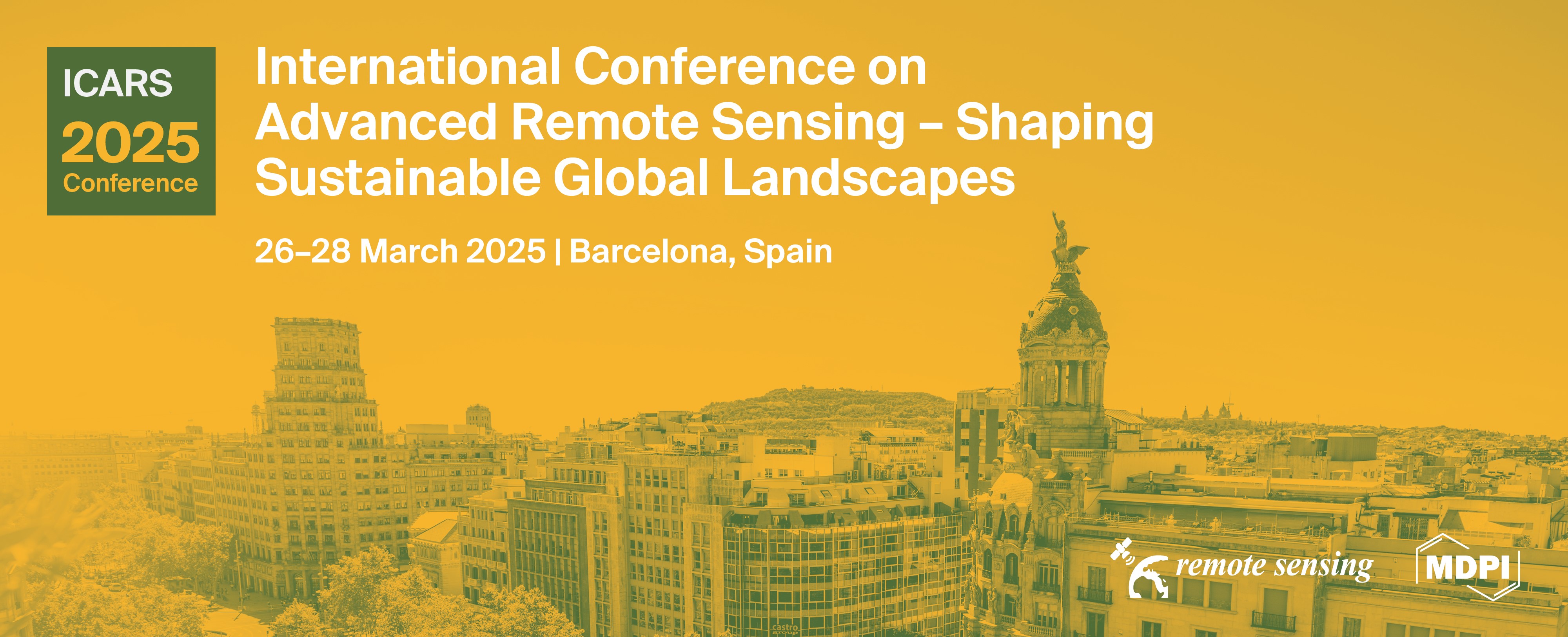
International Conference on Advanced Remote Sensing (ICARS 2025)
Shaping Sustainable Global Landscapes
Thank You for Being a Part of ICARS 2025!
We extend our heartfelt gratitude to all attendees; your passion and engagement played a crucial role in making this event a triumph. With an attendance of over 130 participants, the event was a resounding success!
Take a look at the key moments from the conference and join us in commemorating a gathering of global knowledge and cooperation!
the chairs
Dear Colleagues,
We are delighted to announce the 1st International Conference on Advanced Remote Sensing – Shaping Sustainable Global Landscapes (ICARS 2025), to be held in Barcelona, Spain, from March 26–28, 2025.
Hosted by leading experts and supported by the global remote sensing community, ICARS 2025 will offer a comprehensive platform for exploring how advanced remote sensing is revolutionizing our understanding and management of global landscapes and sustainability.
The conference will focus on how advanced remote sensing technologies are transforming our approach to global challenges. Over three days, we will explore innovations in Earth and environmental sciences, engineering advancements, and practical applications in biological and agricultural fields.
Our sessions will cover the latest developments in sensor technologies, data acquisition, and analysis methods, as well as their impact on climate change, environmental management, and urban planning. We will also discuss how remote sensing is enhancing our understanding of ecosystems, agriculture, and infrastructure.
The Summit “Space Agenda for Tomorrow”, taking place on Day 2 in the afternoon, will bring together experts from science, industry, and policy to discuss key remote sensing challenges and sustainability. Featuring five panelists from leading institutions, the session will provide diverse insights on pressing global issues. More details here.
We invite you to participate in this dynamic, interdisciplinary forum by submitting abstracts for posters or short talks related to these themes. ICARS 2025 promises a stimulating environment where you can present your research, engage in insightful discussions, and connect with fellow experts.
We look forward to welcoming you to Barcelona.
Sincerely,
Prof. Dr. Fabio Tosti, Prof. Dr. Andrea Benedetto & Prof. Dr. Luis Ángel Ruiz
ICARS 2025 Chairs
Conference Secretariat
Mina Marjanović
Michelle Schuchert
Cédric Spinnler
Email: icars2025@mdpi.com
Join us on LinkedIn Events!
If you want to stay updated with the latest information, or if you want to connect with your fellow researchers before, during, and after the event, then be sure to join the International Conference on Advanced Remote Sensing – Shaping Sustainable Global Landscapes LinkedIn Event.
See you over there!
 Follow the conversation on X with #ICARS2025
Meet Our Chairs
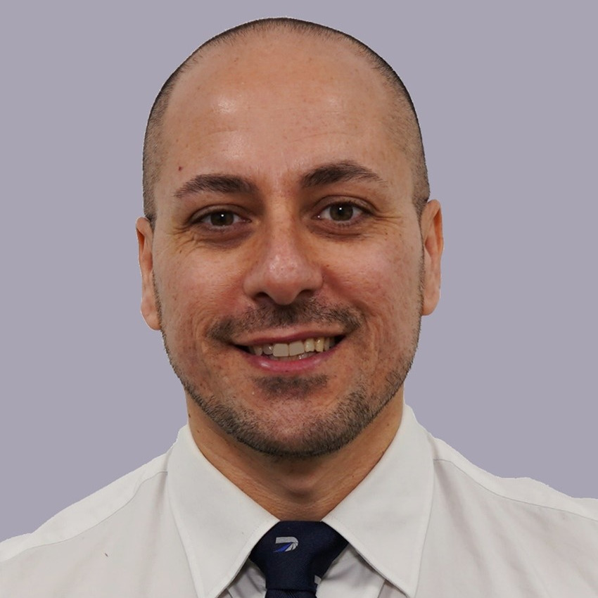
School of Computing and Engineering, University of West London, UK - <a href="https://www.uwl.ac.uk/staff/fabio-tosti">Website</a>;The Faringdon Research Centre for Non-Destructive Testing and Remote Sensing, University of West London, UK;Prof. Tosti is a registered Chartered Engineer, a Professor of Civil Engineering at the School of Computing and Engineering, University of West London (UWL), London, U.K., and the Director of “The Faringdon Research Centre for Non-Destructive Testing and Remote Sensing” at UWL. His research interests include the development of new algorithms, methodologies, and models for geoscience applications and the non-destructive and remote sensing assessment of civil and green infrastructure, and cultural heritage. He has authored/co-authored over 210 research publication records and delivered numerous keynotes and invited lectures. Prof. Tosti was a recipient of the ECSs Award by the European Geosciences Union (EGU) in 2017 and several Best Paper Awards at international conferences, including the TSP 2020, IEEE AGERS 2021 and GIRST 2023. He was the General Co-Chair of the 3rd and 2nd Int. Workshop on Signal Processing Techniques for GPR Applications (SPT4GPRA) in 2022 and 2020, respectively, and he has led technical sessions in 50+ international conferences. He is the Founding Editor-in-Chief of NDT (MDPI), and an Associate Editor of various international peer-reviewed journals.
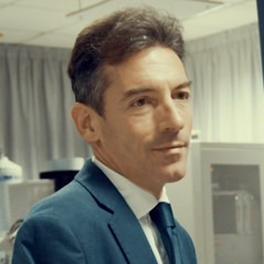
Department of Civil Computer Science and Aeronautical Technologies, University Roma Tre, Rome, Italy - <a href="https://ingegneriacivileinformaticatecnologieaeronautiche.uniroma3.it/en/persone/ZXJXNzlndGlpUkR4OW9xUTRGcGdaVWRBTEd4TDVQR29SZjI1TGNPbkkwbz0=/">Website</a>;Andrea Benedetto is a Full Professor in Civil Engineering at the University of Roma Tre, Italy. He has developed relevant research in the field of planning, design, safety sustainability and development of transport infrastructure. He is the author of pioneering studies on NDT and remote sensing applied to infrastructure monitoring and maintenance, which are published and cited internationally. He has coordinated numerous international research projects and served as Editor, Associate Editor and Reviewer of the most important and prestigious international journals. He played also prominent institutional roles as international consultant for EU research programmes, national expert supporting ministries and director of the Department of Engineering at University of Roma Tre.
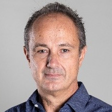
Department of Cartographic Engineering, Geodesy and Photogrammetry, Universitat Politècnica de València (UPV), Valencia, Spain - <a href="https://www.upv.es/pls/oalu/sic_person.Info?p_alias=laruiz&P_IDIOMA=i">Website</a>;Dr. Luis A. Ruiz is a professor of remote sensing and digital image processing and co-director of the GeoEnvironmental Cartography and Remote Sensing group (http://cgat.webs.upv.es/) at Polytechnic University of Valencia. He has been visiting lecturer at Karlsruhe University of Applied Sciences and a visiting researcher at LARSE (OSU), RSGAL (UW), USFS Missoula Fire Sciences and Pacific Wildland Fire Sciences labs. From 2013 to 2023 was editor in chief of the Spanish Journal of Remote Sensing, and since 2022 president of the Spanish Association of Remote Sensing. His research interests are focused on forest structure and fuel characterization using LiDAR, multispectral satellite and aerial imagery; developing object-based image analysis methods for LULC change detection and geodatabase updating; and the analysis of spatio-temporal metrics from LULC maps for urban growth characterization, developing new data processing tools for application in wildfires, fuels, forestry, and agriculture.
Important Dates
15 Dec
2024
22 Jan
2025
27 Jan
2025
12 Mar
2025
21 Mar
2025
21 Mar
2025
Meet Our Speakers
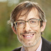
Department of Geography, Mary Immaculate College, South Circular Road, Ireland - https://www.mic.ul.ie/staff/3693-paul-aplin;My central research theme is remote sensing of environmental distributions, with particular focus on spatial and temporal scales of observation, methods of land cover characterization, and application to ecological problems, specializing in forest environments. I joined Mary Immaculate College in 2022, after 15 years as a lecturer/senior lecturer at the University of Nottingham, and 7 years in a research leadership position as Professor of Geography at Edge Hill University. and further afield, including MSc Environmental Science at Central European University in Hungary, guest lecturing to Master's students in Chile and China, and delivering postgraduate summer schools for the International Society for Photogrammetry and Remote Sensing in Ethiopia and Poland. I have contributed to the discipline via a broad range of academic service activities, currently engaged as the Editor-in-Chief for Land (Observation and Monitoring Section) and on the editorial boards for ISPRS Journal for Photogrammetry and Remote Sensing, Remote Sensing Applications: Society and Environment, and Sensors.

CYCLOPS Inc., New York City, US;Clement Atzberger received his PhD in 1997 on Crop growth modeling and remote sensing data assimilation. From 2010 to 2024 Prof. Atzberger was head of Institute and Full Professor in Remote Sensing at BOKU, Vienna. Clement is a Remote Sensing expert with long-lasting experience from various research projects within Europe, Africa and South America. His main interests are: time series analysis (in particular, filtering of data in near-real-time), drought monitoring, radiative transfer modeling (direct and inverse problem) for deriving vegetation biophysical variables, pattern recognition and chemometric techniques, land use and land cover mapping.
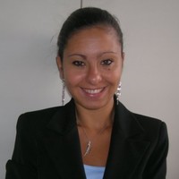
Italian Consortium for the Copernicus Academy (CICA), Italy - https://cicaitalia.it;Silvia Bianchini is an Associate Professor in Engineering Geology at the Department of Earth Sciences, University of Florence (DST-UNIFI). As part of the activities of the DST- UNIFI, which is Competence Center for the national monitoring and surveillance system for hydrogeological risk since 2005, she participated in numerous surveys and emergencies for the National Civil Protection Department. She actively participated in projects with regional and local authorities and in several international Research projects. She is Program Coordinator for Science of the UNESCO Chair on “Prevention and Sustainable Management of Geo-Hydrological Hazards” at the University of Florence since 2024.She is member of the Copernicus Academy Research Unit of the University of Florence and the and she actively participates to several projects within the Italian Consortium for the Copernicus Academy (CICA) to foster the awareness of the Copernicus programme and to promote the uptake of Copernicus data by training strategies and building new skills in the EO sector.
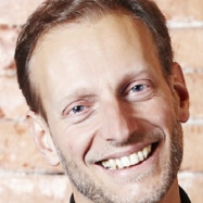
Geodesy and Geomatics Division, DICEA and Sapienza School for Advanced Studies, Sapienza University of Rome, Italy - https://sites.google.com/a/uniroma1.it/mattiacrespi-eng/mattia-crespi?authuser=0;Mattia Crespi received his degree in Civil Engineering Summa cum Laude in 1987 at Politecnico di Milano (Milan, Italy) and his PhD in Geodesy and Surveying in 1992 at Politecnico di Torino (Turin, Italy). He is professor of Positioning and Geomatics at the Sapienza University of Rome since 2005, and director of the Sapienza School for Advanced Studies (since 2021), where he is senior fellow (since 2015) and was coordinator of the Academic Class in Science and Technology (2018-2021). He is coordinator of the National PhD Course in Earth Observation (since 2022). He is research associate at Istituto Nazionale di Geofisica e Vulcanologia (since 2024). He is fellow (Socio Corrispondente) of the Accademia Nazionale dei Lincei (Italian Academy of Science), of the International Association of Geodesy (since 2019) and member of the Copernicus Academy (since its foundation in 2016). He is author and co-author of more than 300 publications (more than 130 internationally peer-reviewed). His investigation topics are: computational problems in geodesy and photogrammetry; geodetic positioning, navigation and monitoring; GNSS seismology, ionosphere sounding and meteorology; optical and SAR image processing; 3D objects and terrain modeling; geodesy and Earth observation for geohazards; geospatial big data analysis; geomatics versus other sciences (urban climatology, glaciology, archaeology). He is co-inventor of two patents, supported by the Sapienza University of Rome, in the frame of GNSS positioning (VADASE, 2010) and optical and SAR satellite imagery processing (matching strategy, 2013).
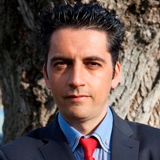
Cartographic and Land Engineering Department, Higher Polytechnic School of Avila, University of Salamanca, Avila, Spain - https://produccioncientifica.usal.es/investigadores/56055/detalle;Received a B.Sc. degree in Surveying Engineering and a M.Sc. degree in Geodesy and Cartography Engineering from Salamanca University, Spain, in 1999 and 2001, respectively. He was a Research Assistant at INRIA, Grenoble, France, in the Institute of Computer Vision and Robotics, where he also performed his Ph.D. research on 3D reconstruction from a single view, graduating in 2005. He has authored over 370 research articles in international journals and conference proceedings. Co-inventor of 11 patents and 32 intellectual properties (software). Based on his PhD results, he has received 9 international awards from the International Societies of Photogrammetry and Remote Sensing (ISPRS/ASPRS). In 2005, he founded the research group TIDOP (https://tidop.usal.es) (Geotechnologies for the 3D digitization and modelling of complex objects) at the University of Salamanca. He is Full Professor and Head of the Geotechnologies Master and PhD Program at the University of Salamanca, co-founder and CEO of the start-up ITOS3D (Image TO Smart 3D). In 2015 the Royal Academy of Engineering recognised his efforts and work in the field of engineering and in particular in the democratization of photogrammetry. In 2020, the ISPRS recognized his special, personal and meritorious contributions in the field of photogrammetry, being the second Spanish to get this award from its origin in 1996.
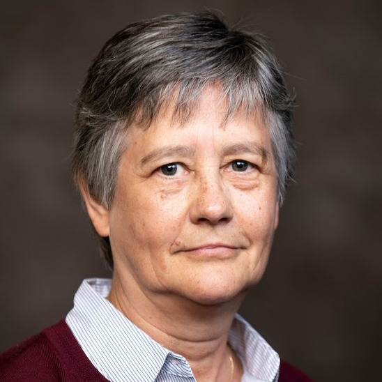
Department of Earth & Environment, Center for Remote Sensing, Boston University, Boston, MA, USA - https://www.bu.edu/earth/profiles/magaly-koch/;Dr. Magaly Koch is a remote sensing geologist with 30 years of experience in applied environmental research, including groundwater resources (in drylands), land degradation problems (soil salinization), geohazards and human impact in environmental change. She is particularly interested in projects addressing global water scarcity/flooding problems as related to extreme weather conditions through an interdisciplinary approach. Dr. Koch is an expert in optical/hyperspectral and SAR remote sensing applications in natural and applied sciences and has extensive managerial experience in conducting international and multidisciplinary research projects in many parts of the world. Her recent research work is on integrating earth and disaster science to enable sustainable adaptation and mitigation of coastal zones. The U.S. Geologic Survey, the National Science Foundation, and the National Geospatial Intelligence Agency have funded her research.
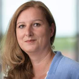
Faculty of Geo-Information Science and Earth Observation (ITC), University of Twente, The Netherlands - https://people.utwente.nl/m.kuffer;Monika Kuffer is working as a Professor at the Behavioural, Management and Social Sciences (BMS) as well as at the Faculty of Geo-Information Science and Earth Observation (ITC, University of Twente). "My research focuses on sustainable development (SDGs), in particular poverty (deprivation), living quality, and economic development in urban/rural environments using remote sensing, Geographic Information Systems (GIS), and AI-based methods. I co-chair an international network on deprivation area mapping IDEAMAPS and (co) lead several research projects on urban deprivation and environment, e.g., IDEAtlas, SPACE4ALL, IDEAMAPS Ecosystem, and ONEKANA. I am the project director of two NUFFIC-funded training grants (IDeAMapSudan - Capacity strengthening for gender-responsive and sustainable urban development and DATA4HUMANRIGHTS, Nigeria). I am a Steering Committee Member of the Joint Urban Remote Sensing Event (JURSE), the Dutch representative of the European Association of Remote Sensing Laboratories (EARSeL), SIG chair for Developing Countries, and a member of the Steering Committee: EO for Sustainable Cities and Communities Toolkit."
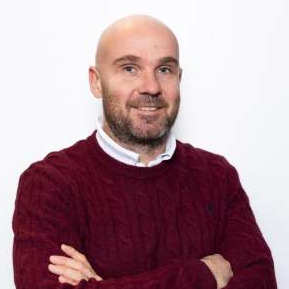
Earth Observation Science (EOS) Department, University of Twente, The Netherlands - https://people.utwente.nl/f.nex;Francesco Nex received his master degree in Environmental Engineering (2006) and his PhD degree (2010) from the TU Turin (Italy). From 2011 to 2015 he was with the 3DOM unit of FBK (Italy) working as Marie-Curie Post-Doc from 2011 to 2014 and then as Researcher. In 2015, Francesco moved to the University of Twente, where he worked as Assistant and then Associate Professor at the faculty of Geo-Information Science and Earth Observation (ITC). His research focuses on fusing elements from photogrammetry , deep learning and robotics to develop innovative solutions for Geomatics applications. Francesco is author of over 150 publications in international journals and conferences. He is/was involved in several European and national research projects dealing with UAV data processing. He is leading the UAV centre of the ITC Faculty. He is the Chairman of the ICWG I/II (Unmanned Aerial Vehicles: sensors and applications) of the ISPRS (International Society of Photogrammetry and Remote Sensing) and he was the PI of three ISPRS scientific initiatives. He has been serving in different roles on the Editorial boards of three indexed journals. In 2020, he was awarded with the ISPRS President’s Honorary Citation and the E.H. Thomson Award.
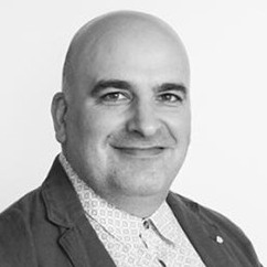
United Nations University – Institute for Environment and Human Security, Bonn, Germany - https://unu.edu/ehs/about/expert/david-daou;Dr. Daou is a seasoned researcher with more than 18 years of experience collaborating with leading institutions, including the European Space Agency, Joint Research Centre in Italy, Dutch Meteorological Institute, Canadian Space Agency, and Environment and Climate Change Canada. As the Team Lead of AI, remote sensing and Climate Risk Modelling at the UNU Institute for Environment and Human Security, Dr. Daou leverages his expertise in experimental physics, remote sensing, and geographic information systems to innovate in big data analysis and artificial intelligence applications. He has also served as an expert evaluator for European Commission H2020 projects, contributing to advancements in climate science and policy. Dr. Daou is also dedicated to education, teaching AI and remote sensing courses in the Joint Master’s program between UNU-EHS and the University of Bonn.













The Summit "Space Agenda for Tomorrow" will bring together international organizations, scientists, space agencies, and industry representatives from the Remote Sensing community with the aim to debate prominent points at the top of the agenda for the sector and identify key global challenges of tomorrow consistent with sustainability and the Sustainable Development Goals. With an eye on the present and walking the path to 2030, the Summit will cover critical issues such as climate change, landscape protection and infrastructure assessment, food security, biodiversity, sustainable ocean economy, pollution, and natural hazards.
Four pillars, each represented by a distinct icon, form the structure of the summit and reflect the core themes that will guide the discussions:


The Summit takes place on Day 2, Thursday, 27 March 2025, at 5:00 pm CET.
The five expert panelists from leading institutions, offering diverse perspectives from science, industry, and policy, are listed in the following section.
Poster Session A
-
Posters: A1 – A33
-
Thursday, 27 March 2025 | 14:00–15:00, 16:30–17:00
-
Posters should be set up on Thursday morning and must be removed by 19:00 on the same day.
Poster Session B
-
Posters: B1 – B32
-
Friday, 28 March 2025 | 10:45-11:15, 13:30-14:30
-
Posters should be set up on Friday morning (before 9:00) and must be removed by 17:30 on the same day.
Guidelines:
- Please print your poster before the conference and bring it with you. We will not provide on-site printing services or print it for you in advance.
- Posters should not be hung up or taken down during sessions with ongoing presentations. Please do so only during breaks, before sessions begin.
- Each presenter will be provided with a vertical poster board. Note that the maximum poster size is limited to A0: 84 x 120 cm / 33 x 47 in (width x height) in vertical orientation (portrait).
The list of posters, along with the poster numbers, titles, and presenting author, can be found below. Please contact us if the poster presenter's name is incorrect in this list (last updated on 26 March 2025).
By clicking on the button below, you can view and download the list of posters.

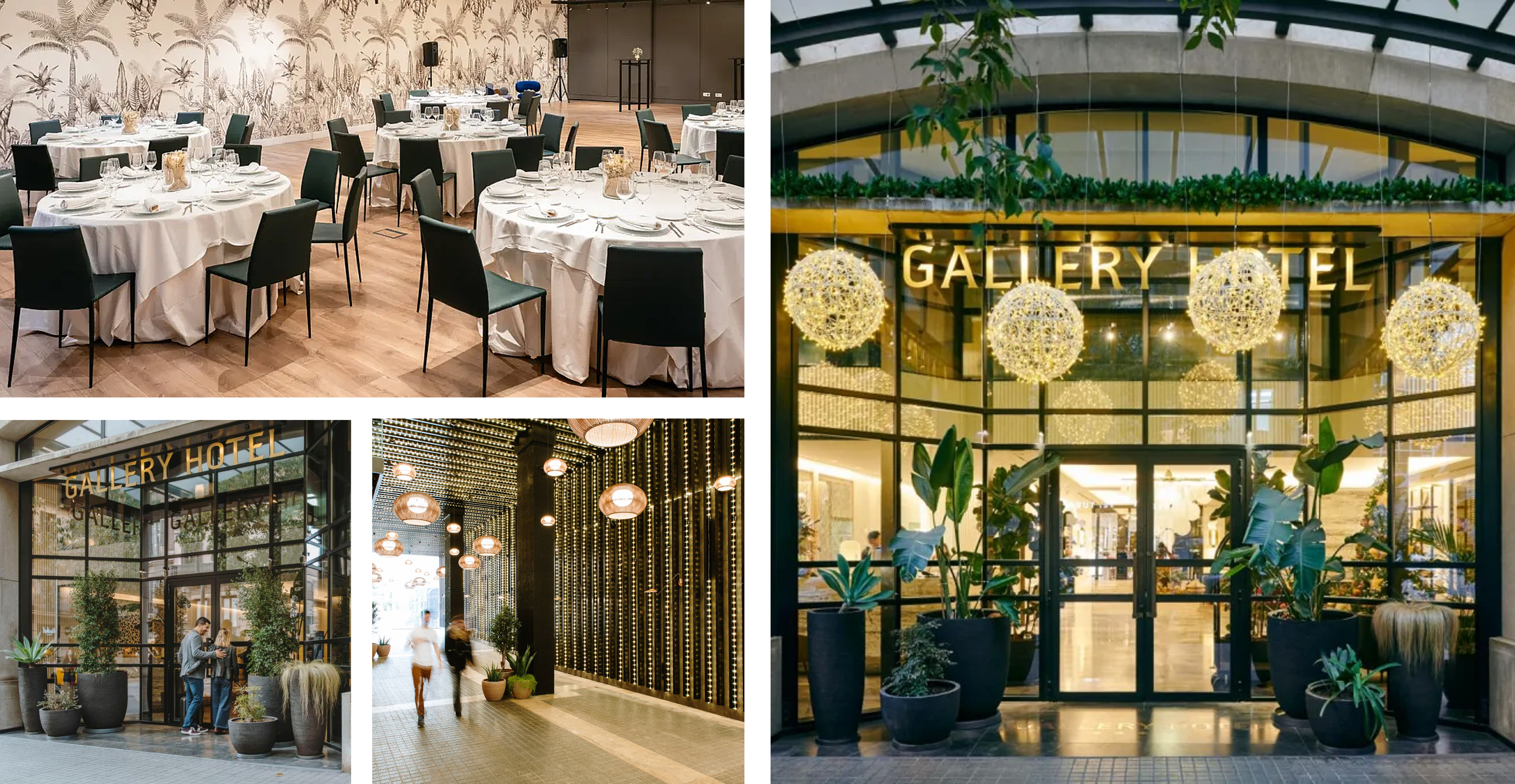
We are excited to announce that the Conference Dinner will be held at the prestigious Gallery Hotel, located in the heart of Barcelona. Enjoy a delightful evening in a vibrant setting next to iconic landmarks such as La Pedrera, Passeig de Gràcia, Casa Batlló, and Plaça Catalunya.
When? Thursday, 27 March 2025 at 8:30 pm CET
Location: Gallery Hotel. C/ del Rosselló, 249, 08008 Barcelona
Main Course Options: Meat (Pork), Fish, or Vegetarian
Curious About the Dinner Option? Here's How to Reserve Your Seat:
The dinner costs an additional 60 EUR, which can be added during registration. Simply select the dinner option along with your registration category (Academic, Student, etc.). If you have already registered without the dinner, you can register again, choosing only the dinner category. Please indicate your main course preference and any allergies or dietary restrictions (in the comment box) when registering. Note that onsite registration will not be possible.
Join us for an unforgettable dining experience in one of Barcelona's most renowned locations. We look forward to seeing you there!
Travel
 By plane:
The international airport of Barcelona is called Barcelona-El Prat (BCN) and is located 10 km from the city center. The airport is well connected to airport hubs in Europe and several locations around the world. For more information about the airport and flights, please visit the official website at https://www.aena.es. Once you arrive at the airport, you have several options to reach the city center or venue.
To the city center:
- By shuttle bus: AEROBUS (https://aerobusbarcelona.es). This bus connects Barcelona Airport (Terminal 1 and Terminal 2) with the city center (Pl. Espanya / Pl. Catalunya) in 35 minutes. It runs every day of the year with departures every 5 minutes and costs EUR 6.75.
- By train: TRAIN R2 NORD (https://rodalies.gencat.cat). This train connects Terminal 2 of the airport with the city center (Barcelona–Passeig de Gràcia). It runs every day of the year with departures every 30 minutes and costs EUR 4.60.
- By taxi: Taxis just outside the arrival area. The taxi from the airport to the city center (Plaza Catalunya) costs approximately EUR 30–35. Public taxis in Barcelona can charge four types of fares. These fares must be visible inside the taxi and are usually printed on a sticker over the window. Finally, the amount payable must be indicated on the taximeter. VTC apps that work in Barcelona are Bolt and Cabify and might offer cheaper rates.
To the conference venue:
- By train: TRAIN R2 NORD (https://rodalies.gencat.cat). You should get off at “Barcelona Sants” station. From there, you can take METRO L5 (get off at Sant Pau | Dos de Maig). Alternatively, you may take a taxi just outside the station. The train from the airport costs EUR 4.60, and the metro costs EUR 2.55. You can buy the tickets at the train station and metro stops, respectively. The taxi from the train station to the conference venue costs about EUR 10.
- By metro: LINE L9 (https://www.tmb.cat). This metro line connects Barcelona Airport (Terminal 1 and Terminal 2) with the city (get off at Collblanc). From here, you can take METRO L5 (get off at Sant Pau | Dos de Maig). The metro from the airport costs EUR 5.50 and the city metro costs EUR 2.55.
- By taxi: Taxis just outside the arrival area. The taxi from the airport to the conference venue costs approximately EUR 30–35. VTC apps that work in Barcelona are Bolt and Cabify and might offer cheaper rates.
 By train:
The Barcelona Sants station is Barcelona's largest train station and provides rail services both in and around Barcelona and for the whole of Spain and beyond. For more information about the station and train service, please visit the official website at https://www.renfe.com.
Once you get to the station, you have the following options to reach the conference venue:
- By metro: LINE L5 (https://www.tmb.cat).
- By taxi: Taxis just outside the station. The taxi from the station to the conference venue costs about EUR 10.
Accommodation
We want your stay in Barcelona during the conference to be as comfortable as possible. With that in mind, we have agreed on a discount with several hotels to make your choice of accommodations easier. Please book your accommodation online and contact the hotels directly with any issues or requests related to accommodation bookings.
We are delighted to announce that the following hotels will offer a discounted price for all ICARS 2025 attendees:
Hotel |
Description |
How to book |
 |
Oriente Atiram and Meson Castilla Atiram: Located in Las Ramblas, they have a fantastic central location next to Plaza Catalunya and the famous Boqueria market, 20–25 minutes away (by metro) from the conference venue. Arenas Atiram: The Arenas Atiram Hotel offers a highly personalized service together with very friendly, elegant facilities, 30–40 minutes away (by metro or bus) from the conference venue. Tres Torres Atiram: Located in the center of one of Barcelona's best residential neighborhoods, next to the distinguished commercial and leisure districts, Diagonal Avenue, it is 30–40 minutes away (by metro or bus) from the conference venue. |
Click the button below to make your booking and add the 10% discount code ‘MDPI25’.
|
|
|
The Social Hub Barcelona is situated in the lively Poblenou district and welcomes digital nomads, students, and travelers. Its unique community-focused concept merges a boutique hotel, student and extended-stay rooms, a restaurant, a coworking space, a bar, a gym, terraces, solariums, and a Rooftop Bar and pool with panoramic city views. It is 30–35 minutes away (by metro or bus) from the conference venue. |
Click below to make your booking with the special rates during the conference days. Don't forget to add a discount code, ‘MDPI25’.
|
 |
Located a few streets away from the Sagrada Familia, in a central neighbourhood and just 15 minutes on foot from the conference venue. |
Click the button below to make a reservation with a 10% discount in one of the Catalonia hotels and don't forget to use the code "CATALONIABCN".  |
 |
Located by the gardens of Baix Guinardó, just a few streets away from the Sagrada Familia and 15 minutes on foot from the conference venue. |
Click below to book a room during the conference dates with preferential rates.
Offer expires 26 February 2025. |

These accommodations have been carefully chosen to provide comfort and convenience for our guests while ensuring affordability through negotiated rates. Prepare to make the most of your conference experience with our exclusive lodging options designed to enhance your stay.
Beware of Unauthorized Registration and Hotel Solicitations!
Note that Sciforum is the only official registration platform to register to ICARS 2025 and that we are not associated with any hotel agency (other than those listed above). While other hotel resellers and travel agencies may contact you with offers for your trip, they are not endorsed by or affiliated with ICARS 2025 or Sciforum. Beware that entering into financial agreements with non-endorsed companies can have costly consequences.
Sponsoring
As organizers, we are excited to create an immersive and insightful conference, and we invite you to be a vital part of ICARS 2025. Your support is instrumental in making this event a success. Explore our sponsorship opportunities and join us in shaping the future of materials-related research and innovation.
Find the perfect sponsorship package tailored to your budget and desired exposure in our sponsorship brochure. Simply click on the icon below to access it.
If you have any questions, feel free to contact us via email at icars2025@mdpi.com. We appreciate your consideration!
Society Collaboration
Are you part of a society that isn't partnering with the conference? Contact us via email at icars2025@mdpi.com to discuss a possible partnership! Noteworthy detail: Members from partnering societies are granted a 20% discount on all registration fees.