OHOW 2023 – The 2nd International Symposium on One Health, One World
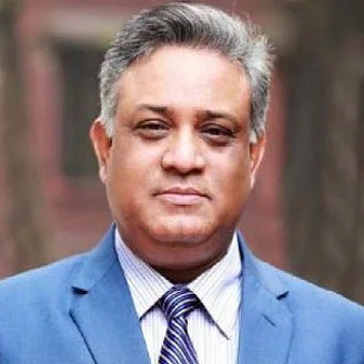
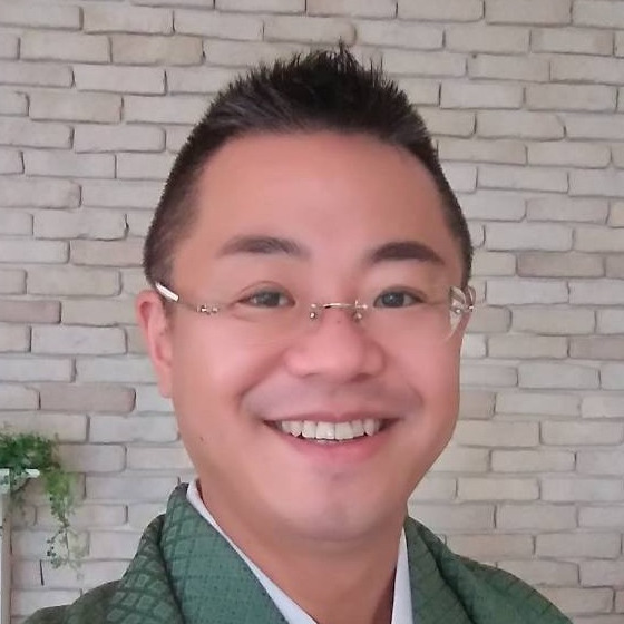
the chairs
Recognizing the importance of urban safety and urban environmental management, Institute of Industrial Science (IIS), the University of Tokyo and Regional Network office for Urban Safety (RNUS), Asian Institute of Technology (AIT) had organized an “International Symposium on New Technologies for Urban Safety of Mega Cities in Asia” (USMCA) since 2002 in Asian cities.
Recent outbreak of COVID-19, phenomena such as species loss, habitat degradation, pollution, invasive alien species, and global climate change are recognized as fundamentally altering life on our planet from terrestrial wilderness to the most densely populated cities. The concept " One Health, One World (OHOW)" addressed as Manhattan principles in 2004 has been well recognized which is a comprehensive science of human and animal health, and the global environment along with urban safety and urban environmental management.
The 2nd OHOW symposium will be jointly organized by One Health One World Research Initiative, the University of Tokyo, Japan and Dhaka University, Bangladesh. The OHOW symposium will include the topics such as climate change and green recovery, international public health research in Asia, infrastructure management and sustainable built environment, and urban safety & disaster mitigation. Beyond the academic program, we have curated networking opportunities, social events, and cultural experiences that will provide a platform for meaningful interactions, collaborations, and the forging of lifelong connections. We encourage all participants to take full advantage of these moments, as they often lead to serendipitous encounters and spark innovative ideas.
Conference email: ohow2023@mdpi.com
Meet the Event Chairs
Important Dates

- Abstract submission deadlineOct 30, 2023
- Abstract acceptance notificationNov 06, 2023
- Full file submission deadlineNov 13, 2023
- Regular registration deadlineNov 27, 2023
- CCGR. Climate change and green recovery
- IPHRA. International public health research in Asia
- IMSBE. Infrastructure Management and sustainable built environment
- USDM. Urban Safety & Disaster Mitigation
Sponsors and Partners
Organizer

Host
- Eligible who are younger than 35 yrs old and students.
- 79 papers were carefully reviewed by three peer reviewers.
- Evaluation criteria
Research quality: 1) originality of the content, 2) methodology and research design, 3) results and derived conclusions
Presentation: 1) time management, 2) oral speech quality, 3) ppt quality/visual aids, 4) performance in the discussion
- [83448] Sara Sultana (Bangladesh)
Development and Validation of a Scale to Measure the Health Literacy of Parents/Caregivers of Children with Special Health Care Needs (CSHCN) - [83457] Md. Shahoriar Sarker (Bangladesh)
Land Subsidence Monitoring using InSAR Technique in the Southwestern Region of Bangladesh - [83490] Khin Myat Kyaw (Myanmar)
Instability Mapping of Dhaka-Kasiani-Gopalganj Railway Line in Bangladesh with InSAR Timeseries Analysis - [83526] Md. Sahil Rafiq (Bangladesh)
Sustainable Treatment of Textile Processing Wastewater in Resource Challenged Economies: Utilizing Calcium Hypochlorite Oxidation Followed by Sand Filtration with Waste Blast Furnace Iron Slag for Repurposing Treated Effluent in Wet Processing - [83536] Nanami Yagishita (Japan)
Analysis of natural disaster risk perception and disaster education focused on The Democratic Republic of Timor-Leste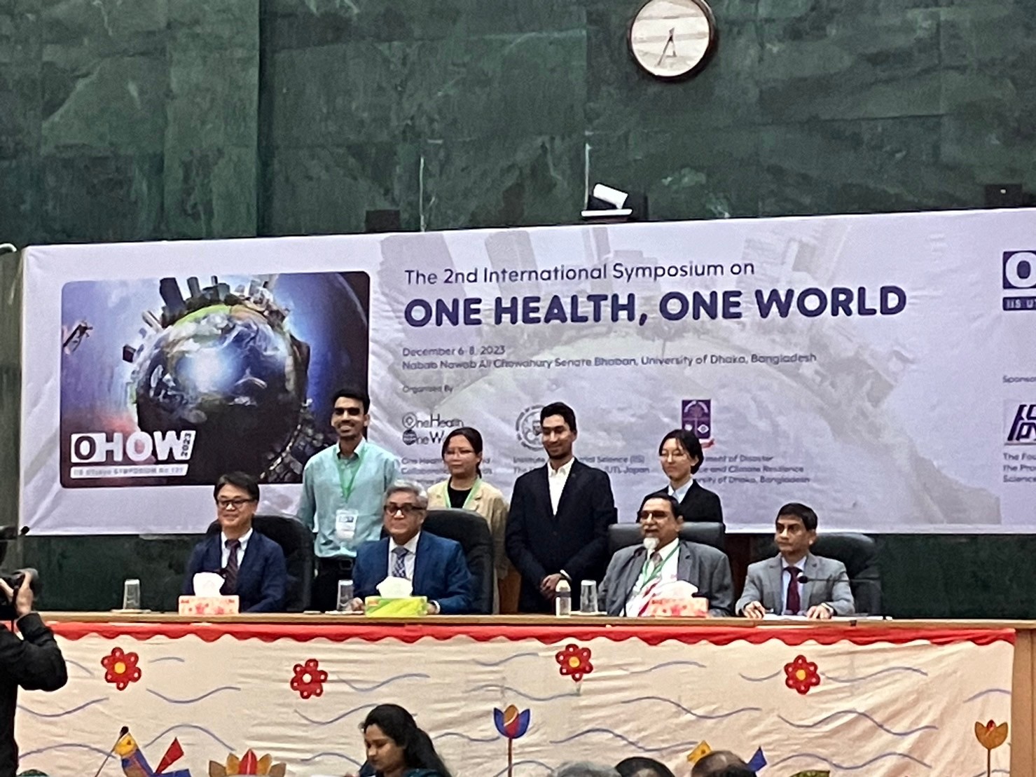
Congratulations!!
Sonargaon – a medieval capital of Bengal (cancelled)
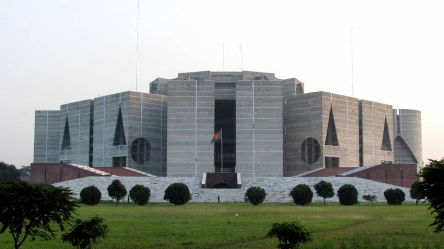
National parliament
The Bangladeshi Parliament - the Jatiya Sangsad (or House of the Nation) - is a 350-member unicameral Parliament; 300 members are elected directly and 50 seats are reserved for women.