
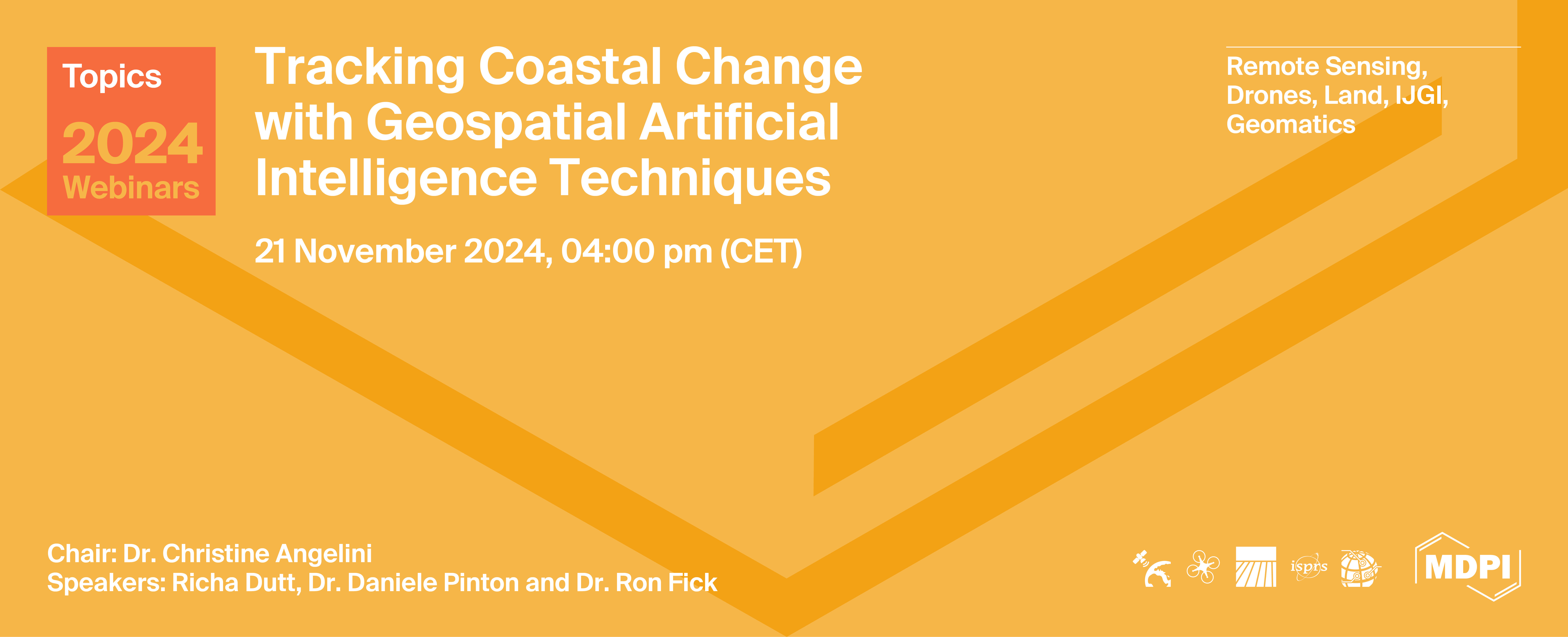
Topics Webinar | EO&GEO Series: Tracking Coastal Change with Geospatial Artificial Intelligence Techniques
Meet Our Speakers
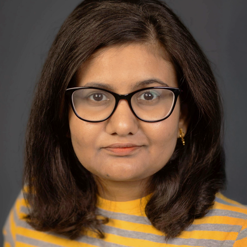
Computer and Information Science and Engineering, University of Florida, USA;
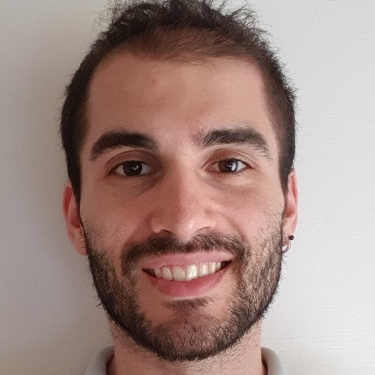
Civil and Coastal Engineering, Engineering School for Sustainable Infrastructure and Environment, University of Florida, USA;
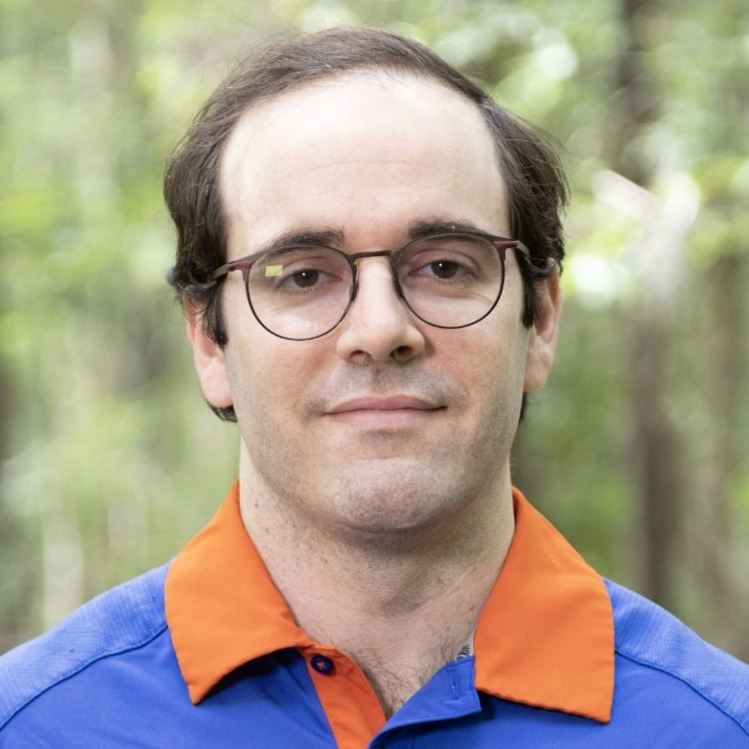
Dr. Ron Fick
Center for Coastal Solutions, Engineering School for Sustainable Infrastructure and Environment, University of Florida;





Article Published by Remote Sensing
Authors: Richa Dutt, Collin Ortals, Wenchong He, Zachary Charles Curran, Christine Angelini, Alberto Canestrelli, Zhe Jiang
Remote Sens. 2024, 16(14), 2659; https://doi.org/10.3390/rs16142659
Coastal waterways and the natural systems that surround them are changing at an unprecedented rate due to population growth, intensification of land use, and climate change. In this webinar, we explore a series of emerging technologies developed by the University of Florida's Center for Coastal Solutions team for accomplishing such coastal monitoring and change assessment tasks. These include: 1) a new deep-learning based method for identifying tidal creeks and wetland features from high resolution remotely sensed images, 2) an AI-enhanced technique for assessing salt marsh morphology from UAV-derived images, and 3) a neural network classifier that combines remote sensing data with spatiotemporally distributed in situ sample data to monitor blooms of the potentially harmful algae, Karenia brevis (or red tide).
The webinar was hosted via Zoom and required registration to attend. The full recording can be found below. In order to learn about future webinars, you can sign up to our newsletter by clicking “Subscribe” at the top of the page.