
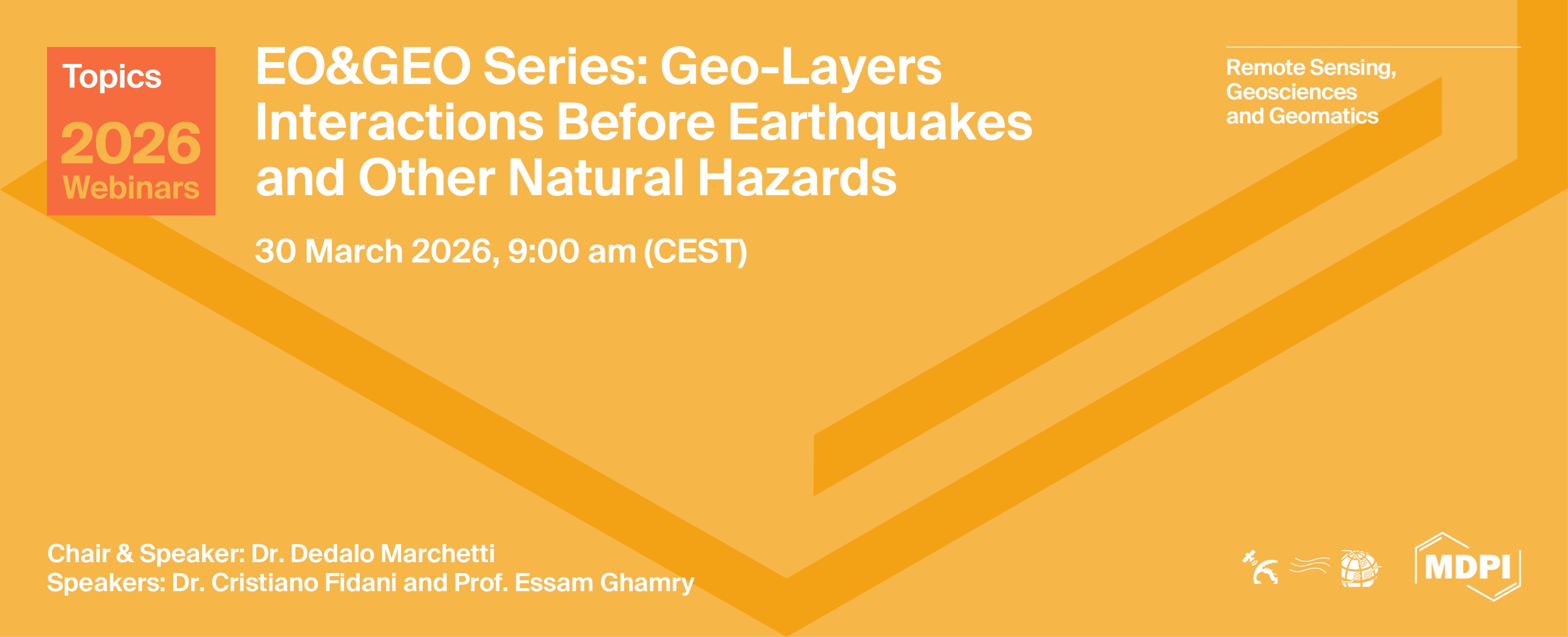
Topics Webinar | EO&GEO Series : Geo-layers interactions before earthquakes and other Natural Hazards
the chair
Topics Webinar
Geo-layers interactions before earthquakes and other Natural Hazards
Predicting earthquakes is a challenging goal that scientists have pursued for centuries. Unfortunately, this is still not possible. However, remote sensing data provide a variety and number of observations that help to detect possible seismo-induced signals in the atmosphere and ionosphere, even in remote areas. These studies help clarify whether, during the preparation phase of an earthquake, the Lithosphere-Atmosphere-Ionosphere Coupling (LAIC) is present or not. Coupling between the geosphere could occur not only before and during earthquake occurrence, but also during the Earth system's preparation and response to other natural hazards, such as volcanic eruptions and geomagnetic storms.
In this webinar, we will discuss how the wide availability of satellite data can help study a single earthquake or volcanic eruption, and even support large-scale statistical investigations to assess the repeatability of a pre-earthquake ionospheric phenomenon.
We will also explore in detail how to calculate the probability of an earthquake, analysing geophysical time series mainly constructed from satellite data.
Finally, we will also explore the mechanism by which solar activity interacts with Earth’s magnetic field during a geomagnetic storm. Geomagnetic storms may cause significant electrical perturbations that could trigger a range of phenomena, from ground-to-satellite communication failures to power grid interruptions. Furthermore, this natural phenomenon is not only important in itself, but also to ensure that ionospheric perturbations detected in earthquake or volcanic studies are not produced by solar activity.
This webinar is also the occasion of presenting the successful results of Remote Sensing Special Issue “Remote Sensing Observations to Improve Knowledge of Lithosphere–Atmosphere–Ionosphere Coupling during the Preparatory Phase of Earthquakes”, as well as welcoming new submission in the present Remote Sensing Special Issue: “Remote Sensing of Lithosphere–Atmosphere–Ionosphere Coupling Prior to Earthquakes and Other Natural Hazards: Second Edition”.
Date: 30 March 2026
Time: 09:00 am CEST | 03:00 pm CST Asia
Webinar ID: 832 9102 9533
Webinar Secretariat: journal.webinar@mdpi.com
Meet Our Chair
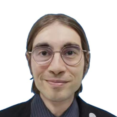
Istituto Nazionale Di Geofisica E Vulcanologia, Rome, Italy;Dedalo Marchetti obtained a degree in astronomy and astrophysics and a PhD in Physics with a thesis centred on the measurement of the polarization of exoplanets. Since 2016, he has been working at the Italian National Institute of Geophysics and Volcanology. The principal focus of his current research is to analyze the variations in the Earth’s magnetic field to search for possible precursors of earthquakes by satellite and ground measurements. He is also developing statistical and case study analyses for research on other earthquake effects in the atmosphere and ionosphere. Since September 2018, he has worked in China dealing with the analysis of the China Seismo Electromagnetic Satellite. In October 2020, he started to collaborate with Jilin University, and since January 2021, he has been enrolled in the Dingxin PostDoc Excellence program of Jilin University. From May 2024, He returned in Italian National Institute of Geophysics and Vulcanology within the EPOS group. He coordinates togheter with prof. Essam Ghamry the International Space Institute (ISSI) Team 23-583 “Investigation of the Lithosphere Atmosphere Ionosphere Coupling (LAIC) Mechanism before the Natural Hazards”.
Meet Our Speakers
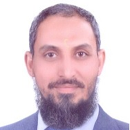
National Research Institute of Astronomy and Geophysics (NRIAG), Helwan, Cairo 11421, Egypt;Prof. Dr. Essam Ghamry is an Egyptian scientist. He received the B.Sc. degree in geology, the M.Sc. degree in applied geophysics and Ph.D. degree in space geophysics from Al-Azhar University, Cairo, Egypt, in 1998, 2002, and 2008, respectively. Currently, Dr Ghamry is a Research Professor with the National Research Institute of Astronomy and Geophysics (NRIAG), Cairo, Egypt. He was a visiting Research Professor with Institute for Space-Earth Environmental Research, ISEE, Nagoya University, Nagoya 464-8601, Japan (August 2025– January 2026). Dr Ghamry was a research assistant and a post-doctor at Kyushu University, Japan during June-December 2007 and January-September 2020, respectively. He was a postdoctoral associate with school of space research at Kyung Hee University, Korea (2014-2015). Dr Ghamry was a visiting scholar at Spain, Germany, India, China, Malaysia and UK. He serves as a leader and co-leader of two ISSI projects at Bern, Switzerland. Dr Ghamry is a member of the Topical Advisory Panel (Topics Board Editor) with Universe journal at MDPI. He has published 50 international research articles in the field of applied and space geophysics. The main focus of his interest is on the observational ground magnetic, electric and space weather data, with topics related to inner magnetosphere and ionosphere, using Van Allen Probe, THEMIS/ARTEMIS, MMS (NASA's missions), Swarm (ESA's mission), Arase (Japanese/Taiwan mission) and CSES (Chinese mission). His research in the application of space geophysics, ionospheric studies and irregularities, magnetic storms, substorms, magnetic micro-pulsations (ULF waves), satellite geomagnetism, TEC-GPS/GNSS, Earthquake precursors using ground magnetic observatories and space observations using LEO satellite.
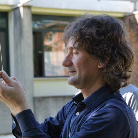
Istituto Nazionale Di Geofisica E Vulcanologia, Rome, Italy; CIEN, Central Italy Electromagnetic Network, Fermo, Italy;Cristiano Fidani is an Italian physicist and geophysicist known for his research on electromagnetic phenomena associated with earthquakes and seismic activity. He holds a degree in Physics from the Università di Camerino (1996) and completed his Ph.D. in Physics there in 2002. He is the director of the Central Italy Electromagnetic Network since 2006. His research interests include electromagnetic signals related to seismic processes, telluric currents, and ionospheric coupling, and he has been involved in various research roles at institutions such as the Istituto Nazionale di Fisica Nucleare (Italian National Institute of Nuclear Physics) and the Istituto Nazionale di Geofisica e Vulcanologia (Italian National Institute of Geophysics and Volcanology). His work often involves statistical correlation analysis of electromagnetic data in relation to earthquake precursors and seismic events.




In this section, you will find the recordings of this webinar to watch, re-watch and share with your colleagues!
Edited by Dr. Dedalo Marchetti, Prof. Dr. Essam Ghamry and Dr. Cristiano Fidani
Deadline for manuscript submissions: 30 June 2026
Observation of the Preparation Phase Associated with Mw = 7.2 Haiti Earthquake on 14 August 2021 from a Geophysical Data Point of View
by Dedalo Marchetti
Geosciences 2024, 14(4), 96; https://doi.org/10.3390/geosciences14040096
The Concept of Lineaments in Geological Structural Analysis; Principles and Methods: A Review Based on Examples from Norway
by Roy H. Gabrielsen and Odleiv Olesen
Geomatics 2024, 4(2), 189-212; https://doi.org/10.3390/geomatics4020011
Investigating a Possible Correlation between NOAA-Satellite-Detected Electron Precipitations and South Pacific Tectonic Events
by Cristiano Fidani, Serena D’Arcangelo, Angelo De Santis, Loredana Perrone and Maurizio Soldani
Remote Sens.2024, 16(6), 1059; https://doi.org/10.3390/rs16061059
Worldwide Statistical Correlation of Eight Years of Swarm Satellite Data with M5.5+ Earthquakes: New Hints about the Preseismic Phenomena from Space
by Dedalo Marchetti, Angelo De Santis, Saioa A. Campuzano, Kaiguang Zhu, Maurizio Soldani, Serena D’Arcangelo, Martina Orlando, Ting Wang, Gianfranco Cianchini, Domenico Di Mauro, Alessandro Ippolito, Adriano Nardi, Dario Sabbagh, Wenqi Chen, Xiaodan He, Xuhui Shen, Jiami Wen, Donghua Zhang, Hanshuo Zhang, Yiqun Zhang and Zhima Zeren
Remote Sens. 2022, 14(11), 2649; https://doi.org/10.3390/rs14112649