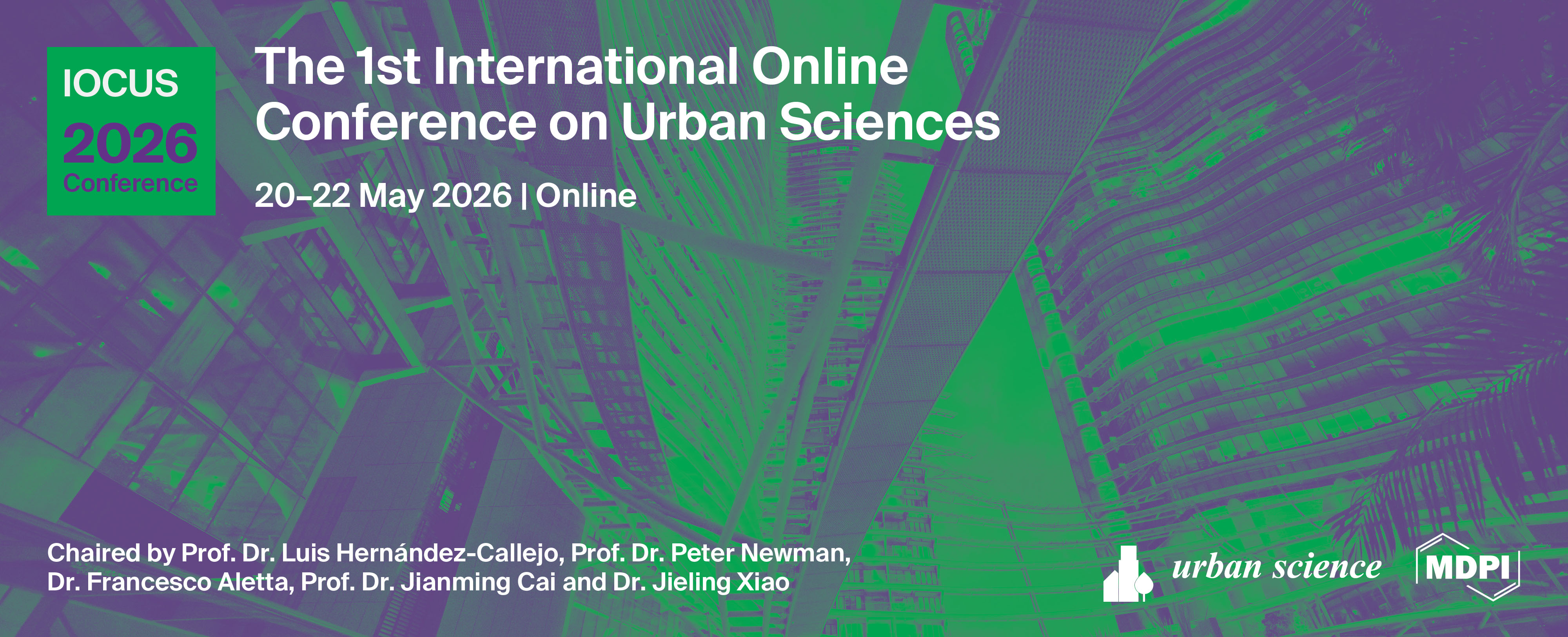
Please login first

List of accepted submissions


Show results per page
Find papers
 
  • Open access
  • 27 Reads
Evaluating the Urban Acoustic Environment Through Mobile Monitoring: Are Campus Noise Levels Within Safe WHO Standards?
, , , , ,

Introduction

Noise pollution is a public health concern in urban environments. A university campus environment is at high risk of continuous exposure to elevated noise that can impair the concentration, communication, and overall wellbeing of students.

Objective

This study was conducted to measure and record noise levels around the campus at different times of the day (morning, afternoon, and evening) using a mobile application and to compare data with WHO recommended noise exposure limits.

Methodology

This study assessed daytime noise levels across a university campus and adjacent neighborhood using a cross-sectional observational design. Noise measurements were collected at 20 purposively selected locations representing major activity zones, including the main gate, cafeteria, corridors, parking areas, and roadside sections. Data were recorded during the morning (08:00–10:00) and afternoon (13:00–15:00) using a free mobile decibel-meter application. World Health Organization environmental noise assessment guidelines were followed. Each reading was taken from a height of 1.2 meters and at least 1–2 meters away from reflective surfaces. Two short samples per time block were recorded, averaged, and supported with contextual observations.

Results

The results showed that average daytime noise levels ranged from 66.9 to 71.3 dBA, which exceeded the recommended limit of 55 dBA. Afternoon readings were consistently higher across all locations, reflecting increased student activity and vehicular flow. High noise hotspots included the Café, Main Road (Campus Side), and the main gate, where levels frequently exceeded 75–84 dBA. Relatively quieter locations, such as the library exterior and hostel areas, also surpassed WHO thresholds.

Conclusion

The study concluded that the university campus environment was found to be significantly noisier than international safety standards. Targeted noise management strategies in high-activity zones are required to maintain a conducive academic environment. The findings also demonstrate the practicality of mobile-based noise mapping as a low-cost assessment tool for campus environmental monitoring.

  • Open access
  • 24 Reads
Urban geo-thermodynamics mechanism of surface warming for thermal risk assessment in the Haldia urban–industrial region: A mathematical integrated approach for sustainable urban heat resilience

Rapid urban–industrial development has intensified surface warming in global cities, including India, posing critical challenges for sustainable urban environments. While advanced AI and remote sensing methods have mapped urban heat patterns, a fundamental thermodynamic understanding of how cities generate, absorb, store, and dissipate heat with the urban land transformation remains underexplored. This study conceptualizes the urban geo-thermodynamics mechanism as a comprehensive framework for quantifying urban surface energy exchanges, heat-flux dynamics, and thermal responses in the Haldia urban–industrial region (103.84 km²) of eastern India. The analysis employs Landsat-derived impervious surface expansion, land surface temperature (LST), and normalized difference vegetation index (NDVI), NASA POWER radiation fluxes, World Settlement Footprint 3D structural (2023) and material stock (2024) data, and census-based population records (1991-2021). The integrated mathematical formulations were developed after the remote sensing-GIS-based statistical analysis for the urban energy balance through the Urban Thermodynamic Index (UTI), Urban Heat Retention Efficiency (UHRE), and Urban Cooling Potential (UCP) indices, which were developed from energy balance equations linking net radiation (Q*), anthropogenic flux (QF), and latent/sensible heat terms (QE, QH). The results reveal a 36% increase in UTI and a 28% rise in UHRE between 1991 and 2021, indicating enhanced surface heat accumulation and anthropogenic energy input associated with built-up and population growth (22.87-53.37 km²) and (1452-2375 person/km2). In contrast, UCP declined by 22%, reflecting reduced evaporative cooling due to vegetation loss, and the regression-based calibration (R² = 0.89; RMSE = 0.74°C) validated the correspondence with observed LST. These findings demonstrate a quantifiable link between thermodynamic processes and the transformation of urban morphological landscapes. The proposed mathematical–thermodynamic structure provides a transferable, GIS-based statistical method for urban heat risk assessment, energy-efficient planning, and geothermal environmental management, supporting global initiatives toward climate-resilient and sustainable urban development.

  • Open access
  • 11 Reads
CHROMIUM IN URBAN AND PERI-URBAN ENVIRONMENTS: MUSHROOMS AND SOIL AS BIOMONITORING TOOLS IN LEICESTERSHIRE, ENGLAND.
, ,

Human exposure to chromium (Cr) via inhalation, ingestion, or dermal contact may pose toxicological concerns. This study assessed Cr levels in 850 surface soil samples and 106 wild mushrooms collected across Leicestershire, including the city of Leicester (England). ICP-MS analysis revealed Cr in 92.2% of 850 surface soil samples (median: 71.3 µg/g) and in 47.1% of 106 mushroom samples (median: 0.863 µg/g dw), with significantly higher values in urban areas, particularly in the southeast quadrant. Health risk assessments calculated for adults and children revealed that total hazard indices (HI) for Cr exposure through ingestion, dermal absorption, and inhalation were below 1 across all scenarios, indicating no immediate risk. Nevertheless, ingestion contributed the highest proportion of exposure (>75%), particularly in young children. Bioconcentration factors (BCFs) were calculated to assess Cr accumulation in fungi, revealing values well below 1, indicating low bioaccumulation potential. The findings suggest that while wild mushrooms reflect local soil contamination, they are not strong accumulators of chromium. This dual-matrix biomonitoring approach combining soils and fungi presents a valuable tool for mapping environmental contamination and identifying urban pollution hotspots. While estimated exposure values fall within acceptable thresholds, the absence of Cr(VI) speciation introduces uncertainty, underscoring the need for further research into its potential carcinogenicity. The findings underscore the importance of integrating environmental biomonitoring with risk communication strategies, particularly concerning mushroom foraging and urban gardening. This study supports continued environmental health surveillance in UK cities and the development of targeted public health interventions.

  • Open access
  • 14 Reads
Beyond Concrete: Reviving Urban Canals and Ecosystems for Climate-Resilient Futures
,

Unplanned urbanization in South Asia has accelerated the loss of natural ecosystems, creating new vulnerabilities to climate change. In Sylhet, Bangladesh, the filling and encroachment of canals, combined with poor waste management, have severely disrupted ecological functions. Once vital for drainage, biodiversity, and community livelihoods, urban canals are now sites of pollution, stagnation, and flood risk. This study investigates the ecological and social dimensions of canal degradation while exploring community-driven approaches to ecosystem restoration and climate resilience. A mixed-methods approach was applied, combining GIS-based land-use analysis with household surveys (n = 200) and stakeholder interviews. Findings show that the disappearance of interconnected water channels has intensified flooding, reduced groundwater recharge, and undermined urban biodiversity. Marginalized communities, often residing near these degraded canals, face disproportionate impacts, including health risks and loss of income opportunities. However, local adaptation practices such as participatory canal cleaning, urban gardening, and small-scale waste recycling demonstrate promising pathways for ecological regeneration and social empowerment. The study argues that canal restoration is not merely an environmental issue but also a governance and justice concern, requiring collaboration between residents, municipal authorities, and civil society. Strengthening environmental literacy, integrating digital monitoring tools, and embedding community participation in urban planning can help restore ecological services while fostering equitable resilience. By situating Sylhet within broader debates on climate adaptation and circular urban economies, this research underscores the urgent need to move “beyond concrete” and reimagine cities as living systems where ecosystems and people thrive together.

  • Open access
  • 13 Reads
Urban Tree Heritage: Strategies for Conservation and Decision-Making in a Historic Maghreb City
, ,

Urban vegetation plays a critical role in creating resilient and livable cities. Remarkable urban trees, particularly those from colonial periods, serve as ecological, cultural, and historical landmarks. They provide multiple benefits, including microclimate regulation, support for biodiversity, aesthetic and recreational value, and social well-being. In Tunisia, the patrimonial value of urban trees remains largely overlooked, highlighting the need for systematic assessment, conservation, and management strategies. This study focuses on colonial-era trees in Sousse, Tunisia, aiming to evaluate their patrimonial value and develop a decision-support tool for sustainable urban tree management. The study covered three districts of Sousse: Khzema, Jawhara, and Sidi Abd Elhamid. Trees were inventoried and georeferenced, and each tree was documented using an identity sheet containing location, species, vernacular name, dimensions, and site-specific constraints. Patrimonial values were assessed using a structured evaluation grid covering landscape (weighted ×2), cultural–symbolic, intrinsic, and functional values, scored from 0 to 5. Field surveys and landscape analysis were complemented by geospatial techniques to create thematic and summary maps supporting comparative assessment and planning. Trees located in organized parks and gardens exhibited significant patrimonial value, though they remain underappreciated. Trees in neglected or unplanned spaces scored lower, indicating a need for intervention and targeted conservation efforts. Visual representation of scores highlighted priorities for management and valorization. This study demonstrates that combining inventory, geospatial analysis, and structured evaluation provides an effective framework for urban tree conservation. Implementing such tools supports sustainable management, promotes ecological and social benefits, and fosters awareness of urban green heritage. Engaging local authorities and communities is essential to ensure long-term preservation and valorization of these living historical assets.

  • Open access
  • 8 Reads
Green Space Dynamics in a Rapidly Urbanizing African City: A Spatial and Socio-Economic Study of Wolkite City, Ethiopia
,

Rapid urbanization in Wolkite City, Ethiopia, has accelerated population growth and infrastructure development at the expense of green areas. This study quantifies relationships and long‑term trends between green spaces and settlements from 1985 to 2024 using remote sensing, GIS‑based spatial indicators, and social research. The novelty of this research lies in proposing three original indicators for urban development trends—Green Area Loss Indicator (LOSTGREEN), Settlement Increase Indicator (SII), and Cumulative Ratio Index (CRI)—explicitly tuned to the socio‑spatial conditions of Sub‑Saharan African cities, with Wolkite, Ethiopia, as an illustrative case. These indicators track spatiotemporal land‑use dynamics, reveal a strong inverse relationship between settlement expansion and green‑space extent, and delineate critical zones needing immediate planning action. Household survey results show uneven awareness of green‑space benefits across socioeconomic groups; education, occupation, and income predict environmental consciousness. Residents with higher educational attainment and stable employment more frequently recognized the ecological and social value of green areas. By integrating spatial metrics with social evidence, the study derives actionable guidance for urban planning and governance to support sustainable growth in Wolkite. Beyond the case, it offers a replicable assessment framework for fast‑growing Sub‑Saharan cities and underscores the importance of public awareness and participatory planning to mitigate ecological degradation and balance urban expansion with environmental integrity.

  • Open access
  • 11 Reads
Towards Universal Accessibility in Cultural Heritage Sites of Ávila (Spain)

Introduction: Ensuring universal accessibility in historic urban environments is essential for creating sustainable, inclusive, and socially equitable cities. Cultural Heritage Sites play a central role in shaping urban identity, yet often present significant physical, communicative, and cognitive barriers. This study examines the accessibility conditions of cultural heritage across Ávila (Spain), a UNESCO-recognized historic region, applying a framework aligned with Sustainable Development Goals 10 and 11. The project aims to evaluate accessibility comprehensively and propose context-sensitive improvements compatible with heritage conservation.

Methods: This research adopted a broad evaluative framework that combined observational analysis, site visits and qualitative insights from local heritage managers. Universal accessibility was examined through four fundamental dimensions: (i) Deambulation, (ii) Apprehension, (iii) Location and (iv) Communication. The combination of general quantitative patterns and descriptive qualitative evidence enabled the identification of common barriers, opportunities and trends across different types of sites.

Results: The analysis reveals moderate improvement in aspects related to physical access, while more substantial challenges persist in the areas of orientation, information availability and communication for diverse user needs. Frequent limitations included irregular pavements, insufficient signage and a lack of inclusive information formats. However, several positive practices were identified, such as reversible architectural adaptations, enhanced lighting strategies and the introduction of digital solutions that support accessible cultural experiences.

Conclusions: This study demonstrates that universal accessibility and heritage preservation are compatible and mutually reinforcing objectives when grounded in evidence-based, reversible interventions. The framework offers a replicable model for enhancing inclusive urban environments, contributing to sustainable cultural management and equitable access for all citizens.

  • Open access
  • 11 Reads
An Advanced Analytical Approach for Landfill Site Selection in Rajshahi City for Solid Waste Management
, , , ,

Municipal solid waste (MSW) management has become a critical challenge in rapidly urbanizing regions, particularly in developing countries such as Bangladesh, where increasing population density and limited land availability intensify the pressure on existing waste disposal systems. In this context, selecting an environmentally sustainable and operationally efficient landfill site is essential for improving long-term waste management strategies. This study proposes a comprehensive decision-support framework for the strategic selection of landfill sites within the Rajshahi City Corporation (RCC) area. The framework integrates two core methodologies: a Genetic Algorithm (GA) and a Random Forest (RF) regression model. The genetic algorithm is employed to optimize site suitability by evaluating key criteria such as distance from Secondary Transfer Stations (STS), available land capacity, accessibility, and transportation considerations. A specially designed fitness function is incorporated into the GA to identify the most optimal site from a set of potential locations. To enhance reliability and provide cross-validation of the GA results, a Random Forest regression model is used to analyze feature importance and assess the influence of each parameter on the final site selection outcome. The RF results confirm that transport cost, distance from STS, and landfill capacity are among the most influential factors in determining site suitability. Based on the integrated analysis, the Baya-Duary region emerges as the most favorable landfill site, exhibiting strong environmental compatibility, adequate land availability, and high operational feasibility. The proposed framework demonstrates a robust and data-driven approach that can support urban planners and policymakers in making informed and sustainable MSW disposal decisions.

  • Open access
  • 5 Reads
Evaluating the Synergy between Urban Agriculture and Local Resources

Despite the promise of urban agriculture, there is a lack of understanding in assessing the potential material and energy flows and associated system-level impacts of urban agricultural systems at the city level, which may combine used water with a circular economy. It remains unclear how the choice between different novel approaches such as greenhouse, hydroponics, and aquaponics will affect the technoeconomic feasibility of these systems. In addition, urban planning, investment decisions and resource allocation by decision-makers and stakeholders are done in isolation and lack coordination, and these must be enhanced by an understanding of what an urban community can expect if the urban agriculture systems are to be developed to meet the local food demands sustainably. This research will examine current policy and regulatory gaps for urban regions including the Greater Chicago Metropolitan Area and Northwest Indiana, assess the chemical and thermal potential of used water resources for urban agriculture, and discuss the techno-economic viability of landscape-scale urban agriculture based on greenhouse and hydroponic systems. We will also present various scenarios for cost-effective recovery and reuse of these resources, and these might prioritize one resource over the other or focus on a single resource. For example, the scenarios will include the following: (i) heat over organics; (ii) organics over heat; (iii) nutrients over organics; (iv) water over nutrients, (v) water over energy, and (vi) energy over water.

  • Open access
  • 7 Reads
Växjö's Fossil Fuel-Free Initiative: A Case Study on the Challenges of Achieving Carbon Neutrality in a Small City

Sweden aims to achieve carbon neutrality and become a fossil-free welfare society by 2045. At the national level, 39 of 290 Swedish municipalities have set a target to achieve net-zero emissions before 2045. The Swedish municipality of Växjö has set an ambitious climate goal: to become a fossil-fuel-free city by 2030. Växjö has long strived to become an eco-smart, green, and healthy, growing, and inclusive city, and create a community that stops causing any negative climate impacts by 2030. The study applies Energy Transition Theory to analyze the municipality’s strategies and social-technical challenges. A qualitative case study research method was used to answer three research questions: the current strategies, challenges (in technology, policies, and social aspects), and solutions implemented by Växjö Municipality. The policy document and municipal published reports from Växjö municipality provide the empirical data. Four online interviews were conducted to provide the first-hand data. The conclusion shows that Växjö has fallen behind in achieving carbon neutrality compared to other Swedish peer cities, and there are gaps between symbolic actions (e.g., green branding) and real sustainable practices. The transition to a just and inclusive framework is needed to reconcile the rhetoric with reality for Växjö. This research fills the gap in a deeper understanding of complex dynamics in a small municipality like Växjö to achieve carbon neutrality and a fossil-fuel-free ambition, contributes to understanding the complex dynamics of local sustainability efforts, and contributes to the growing literature on energy transition theory in a specific city. It also offers practical insights for other municipalities, especially small cities pursuing similar climate goals.

Top